South and
Middle Bald Mountains
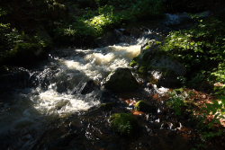
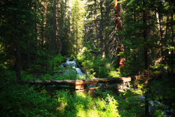
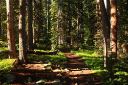
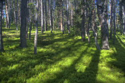
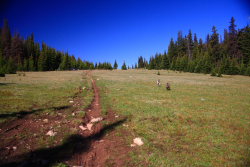
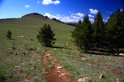
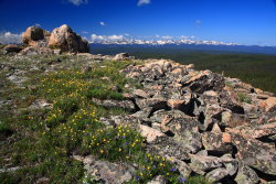
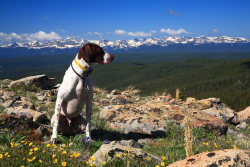
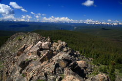
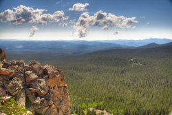
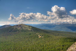
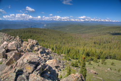
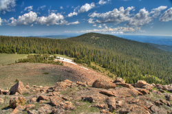
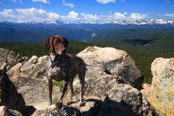
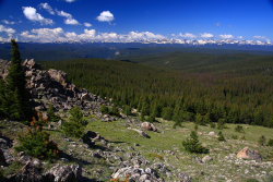
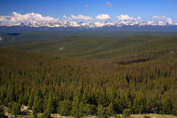
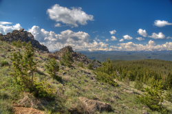
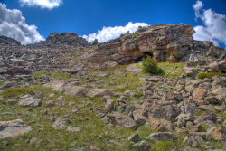
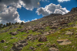
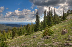
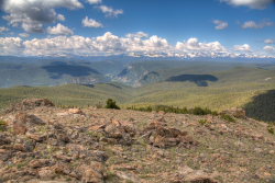
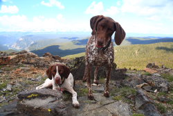
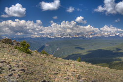
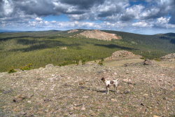
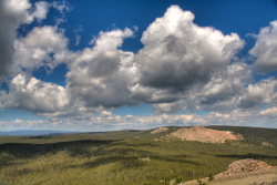
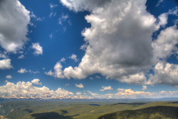
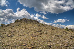
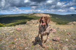
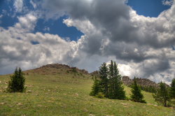
July 5, 2009 Knowing it would rain, I got a very early start from home and was sitting on the bumper of my car lacing on boots at 7:30, the dogs, Makenzie and Henry, whining with impatience in the back seat. The heavy rains from the afternoon/evening before left everything wet and dewy, with fog in the woods and steam rising up off the gravel road where the early morning sun shone on it. It was a chilly 47 degrees. I packed my bag and stretched my legs well, and we were on the trail by 7:45. I had to wipe dew off the Forest Service sign to ensure I was at the right place, and once satisfied, brought up the rear of our gang as the dogs bounded ahead, all legs and flopping ears and panting. Nobody brings enthusiasm to a trail hike like a couple of dogs. They bring their A-game every time, guaranteed. The trail didnít waste any time leading uphill, and the route brought us up through lodgepole pine forest with a rich undergrowth of whortleberry, the thickest Iíve ever seen after one of the wettest Junes on record. Killpecker Creek rushed downhill with foam and cascades just to the east. Sun slanted in from that direction through the thick ranks of lodgepole pine trunks, throwing dark slanting shadows on the ground and shafts of sunlight riding in on the fog drifting lazily above the whortleberry. All in all, a pretty good incentive to get up early on a Sunday. We continued to hike south, which I think is the best direction to hike in the morning because the sun behind tree trunks as you move flickers on your face at an angle, alternately making it dark and light and reminding you of the contrasting colors and lights in the woods, and because later when the sun is high, you are hiking back north with the sun at your back, so the colors are more saturated from your perspective and you donít have to squint your eyes as much on the trail. I stopped several times to adjust the laces and insoles of my new boots, taking care not to let them foment blisters or other pains. My USGS map is apparently out of date, and didnít show any roads up here, so I was surprised to walk out onto one at 8:40. A nice road, suitable for passenger car it appears, temporarily stymied me until I figured out you have to walk about 50m to the left to pick up the trail on the other side of the road. Tricky. We continued on, the dogs and I, with me always lagging behind and frequently calling them back to keep them from getting too far ahead. Wish I could explain to them not to exceed a 50m distance from me, but thereís no explaining that to these dogs. Shortly after 9:00, we reached a second road, again in great shape, and this time the trail crossed straight across. The road apparently marked a timber sale boundary because we left a mature lodgepole pine forest on the north side and entered a young subalpine fir forest on the south side. The lodgepole seemed in good shape, and not yet decimated by bark beetle like the lodgepole only 25 miles west of here, yet even in this green forest, many trees had pitch tubes on their trunks, the ominous sign of infestation that will lead to death of the tree in a year or two. The trail through this section was very wet, and deep ruts from wheeled vehicles had made a mushy soup of it. Snowmelt was cascading down the trail, and I took a few minutes to gouge out a waterbar to divert the flow off-trail. At 9:25 we reached a 3rd road, perhaps the same one just winding back and forth, and again crossed straight over. At around 9:40, the trail broke out of the trees and Middle Bald Mt sat just ahead, off the trail about 1/8 mile. The dogs were already halfway to the summit. I followed, and when I reached the summit I sat in the stiff breeze and ate a Clif Bar. I was very hungry, and had been daydreaming of food for half an hour. Thatís always bad when youíre daydreaming of salty, fatty foods on the way UP the trail. The openness of the summit allowed perfect visibility in all directions. I enjoyed the unparalleled views of the Rawahs to the west, the Never Summer Range to the southwest, and the southern portions of the Mummy Range to the south, all draped in a gray and white snowfield mosaic. Also, unexpectedly, I could see Boston Peak and the Poudre Canyon down below. At around 10:00, after much picture-taking, we departed back to the trail and continued south, downhill, towards South Bald Mt. After 10 minutes or less, we reached a road for a fourth time, and this time the trail ended with a sign that read ď4.2 miles to Deadman RoadĒ. We hiked left on the road not but 25m before heading east on FR517, which is also open to ATVs, which we saw in just a few minutes scooting past. For the last part up to South Bald Mt, my map didnít help much. I sought to take the Swamp Creek Cutoff Trail, but the first trail I took that looked promising and was marked in orange blazes ended up leading southwest, away from where I wanted to go. I have no idea where that one goes. The second likely jeep road I took further on petered out after just 100m. I never did find this Swamp Creek Cutoff Trail, or maybe I did and it is the one that petered out, but at any rate I simply bushwhacked from my second dead-end attempt at about 110-degrees through the woods until I reached the open tundra of the west side of the mountain, whereupon it was easy going to the summit, where we arrived at 11:00. The summit of South Bald Mt offers no less impressive views than Middle Bald Mt. Both of these offer better views than North Bald Mt, which I hiked nearly a year ago. The wind had picked up considerably, and it was darn chilly. Clouds were darkening by the minute, and rain looked imminent. I quickly read through entries in the summit log, signed my own name, and we disembarked back downhill to the jeep road, and retraced our route to Middle Bald Mt, which we reached around noon. From there we simply plodded downhill at a good clip towards the car. I was pleased to see in passing that my waterbar on the trail had already facilitated a significant lowering of the water level in the mucky part of the trail. Thunder boomed and the sky clouded over completely, but our luck held very well since it only showered lightly on us and only for the last 30 minutes of the hike. It was much more severe just to the north, where I could see it raining buckets. Near the car, we were passed by a couple of motorcyclists who were so preoccupied with the slick rocks on the trail, Iím not even sure they saw us standing off the trail. We reached the car at 1:30 and headed home through constant rain. The dogs snored the entire time. |
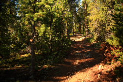
Lower portion of the trail.
|
