Middle Crow
Creek
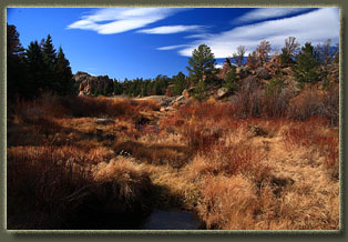
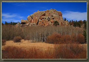
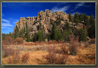
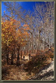
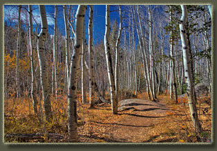
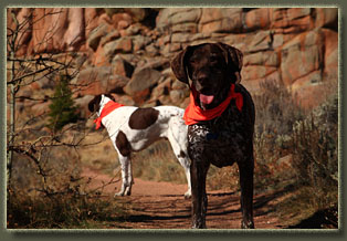
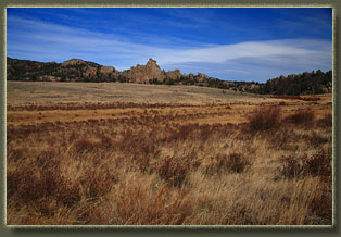
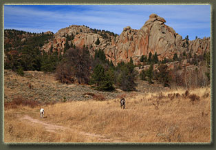
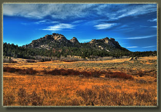
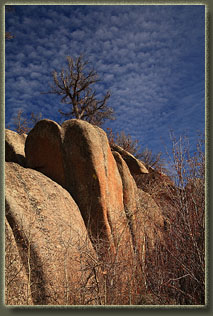
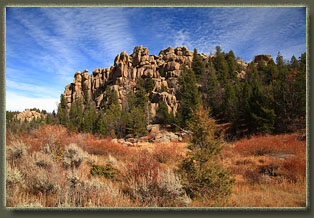
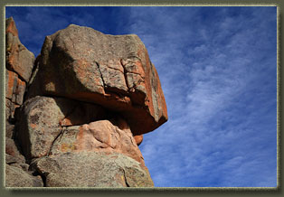
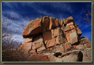
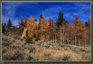
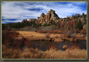
View Larger Map Oct 24 2011 I cruised west, hoping for sun, and found it. Though cloudy in Cheyenne, Turtle Rock was glimmering in the yellowed autumn sunshine, the deep orange kind that makes even noon feel like dinner time. Prudency dictated I don an orange vest, and the dogs, Henry and Makenzie, donned bright orange bandanas. I parked at the guard shack on Vedauwoo Rd because it used to be you could park there free, but if you drove on you had to pay. Now theyíve put up signs that even here you have to pay. Soon it may be that parking anywhere north of I-80 will require a fee. In a nutshell, my vehement disagreement with Smoky Bear on this one is that 1) I already pay for the national forest maintenance every year on April 15, 2) national forests belong to the people, not the national forest managers who think they have authority to charge fees and 3) if the USDA feels happy about subsidizing logging, grazing and mineral extraction, then I think they can feel happy about subsidizing hikingÖmultiple use, anyone? Thereís a self-service pay station at the parking lot now. I walked past, trying to shame the wooden contraption by snubbing it viciously. We picked up the path that runs parallel to the entrance road on the west side, and meandered through the woods to the western Turtle Rock TH. The day was perfect, with warm temperatures calling for shorts and a t-shirt, and almost no wind. This late in the year, most of the leaves were off the aspen, but they have their own special look naked, too, when their stark white trunks and limbs shout against the deep blue sky and orange granite. Lots of colors. Iíve described the Turtle Rock trail elsewhere, so Iíll skip over details on our counterclockwise loop around this lump of granite. Fast forward an hour to the eastern trailhead, and instead of circling back to the west to return to the car, we took a fork in the trail just before the Crow Creek crossing that led to the east. I had stumbled onto this trail years before with Griff when we were cross-country exploring from the Vedauwoo Rd, but I didnít ever come back to follow it east. This time, we had plenty of daylight to do so. Makenzie led our pack down the gravel trail, which was wide and very obvious. It bent to the south and after a steep downhill stretch we crossed a tributary of Middle Crow Creek at a concrete dam, and then resumed eastward along a dirt road spattered with a few limber pines that then cut matter-of-factly across a large meadow. Reynolds Hill dominated the eastern skyline, a serious clump of granite spires and blobs that is beautiful from all angles. The road bent to the south, but a path led clearly off to the east, so we took that and stayed near the stream. An easy crossing of this stream was followed quickly by reaching Middle Crow Creek, which was flowing considerably stronger and had several large ponds in it, courtesy of the beavers. A faint trail pushed into the tall grass led north to a crossing of the pond by way of two wooden planks. Makenzie and Henry handled the planks with ease, I was happy to see. The faint route in the grass split, and we took the south fork to stay near the creek. The trail intensified in obviousness, and inclined a bit to get past the bottleneck Reynolds Hill imposes on the creek. From this point east, the terrain is essentially walking through a canyon. In fact, it reminds me strongly of Monument Canyon near Colorado Springs. The trail set us down on the south side of Reynolds Hill, on the north side of the creek, and we continued east on a good trail, passing by an unnamed wall of granite blocks that looks like a Jenga tower ready to topple. This is Devils Playground, but far from seeming sinister, it seems comical to me, like a group of kids got together with Playdoh to build mountains. This trail led to another dirt road with firepits and lots of trash scattered around. I was on this road for a very short time before it started to veer away from the creek, so we headed east while it went north and soon we had to cross the creek by way of little rocks in the streambed. The dogs didnít mince niceties and simply plowed through the cold water, purposefully sloshing a good amount of it on my legs and socks. Itís what they do. The remainder of the route was pretty faint, mostly game trails or cattle trails that worked east along the south creek bank. I crossed the creek twice more to avoid a difficult rock face on the south side. Because the trails were quadraped trails, I was frequently ducking to avoid low branches. We finally reached a segment of the creek that Iíd been on before, and I was confident that we could reach the Vedauwoo Rd, which seemed like a good turnaround. When we got there, I noted that the meadow near the road was particularly trampled from cattle, with abundant cow pies all around. Donít drink the water! The return trip went a little faster because much of the guesswork was taken out of the trip. Interestingly, though the route was not well-defined and easy to lose, the most logical route back happened to overlay the route in almost exactly. That happens to me a lot, when I think Iím wandering randomly only to find out that the route my mind has picked is the same one that everyone else, including animals, also picks. Thereís some primitive part of all our brains that subconsciously picks the path of least resistance when weíre walking on auto-pilot. The wind picked up, but in the canyon it wasnít much to worry about. I stopped near Reynolds Hill to eat some canned herring (Andra hates this but it is AWESOME on the trail) and to spit my only granola bar with the doggies (I always forget to bring treats for them). We cruised back over the wooden plank bridge, west through the meadow and back up the gravel trail to the junction with the Turtle Rock Trail. From there, we simply returned to the car via the Turtle Rock Trail, completing the adventure in about 4 hours. |
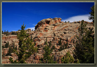
Turtle Rock
|
