| Middle Lodgepole
Creek
Location: Medicine
Bow National Forest, Pole Mountain Unit, east of Laramie, WY
Access: From
the Happy Jack exit off I-80 at the Summit, head east on Happy Jack Rd
2.8 miles, then northeast on Telephone Rd (FR712) for 1.2 miles. At the
fork, veer left, and continue another mile east to the next intersection.
Take a sharp left turn and head north half a mile on FR702 to where the
road crosses Middle Lodgepole Creek. Park along the road near UTM NAD83
z 13 469192e 4568942n.
Trail: None.
The loop Henry and I took circled around a tributary of Middle Fork Lodgepole
Creek, then followed the main channel back to make an easy loop of 4.4
miles with 370 elevation gain.
Fees: None
Dogs: No
posted restrictions
Maps: USGS
7.5 quads : Pilot Hill, Green Top Mt
View
Larger Map
June 14, 2014
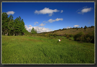
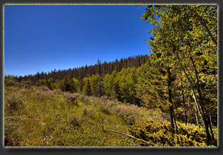
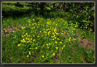
Henry and I took in this
pleasant stroll through the lush riparian meadows and shaded conifer-filled
draws in the upper reaches of Middle Fork Lodgepole Creek on a sunny, warm
morning in June. I parked near where the road crosses the creek, and we
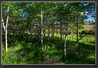
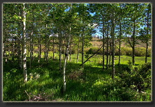
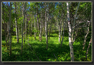
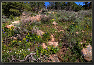
walked upstream on the south bank through aspen groves, open meadows and
fields of mountain big sage, one of the prettiest-smelling native plants.
We passed by several beaver dams along the way, apparently abandoned since
the water level was well below the top of the dam. Without a firm plan
on where I was heading, Henry and I ended up staying south of the water
course, which turned out was just a minor tributary of the main channel,
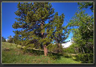
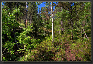
and soon we were at the dry uplands above this channel, circling north
to the main channel through thick Douglas fir and limber pine. In the middle
of nowhere, we stopped in the sun and I ate an apple and read a book while
Henry sniffed around amongst the pines and sagebrush, searching for hidden
quarry. We found the main channel, then followed it back east towards the
car. Soon the main channel to our north met the side channel we had followed
to our south, leaving us with no dry land to continue on. Things got a
little wet as I hopped from hummock to hummock through a very wet meadow,
trying to reach dry land to the south. Oh well, whats wrong with wet feet
on a June hike? Henry certainly found no problems with it, as his entire
body was soaked by the time we reached sagebrush again. We sat in the sun
and I shared my PBJ sandwich with Henry. The delay tactic was more to allow
time for Henry to dry off than anything else. Shortly after, we reached
the car, and headed back home. The entire hike took about 3 hours, and
I was back home by noon.
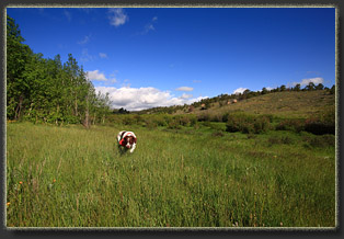
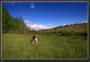
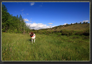
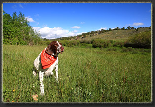
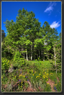
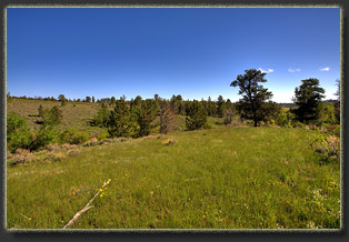
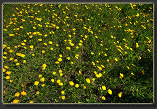
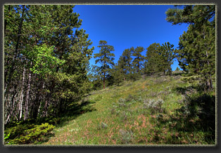
Henry enjoys frolicking
in the meadow
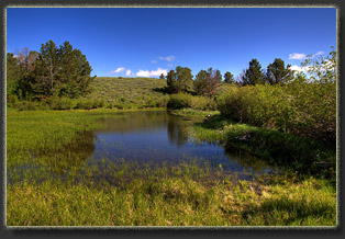
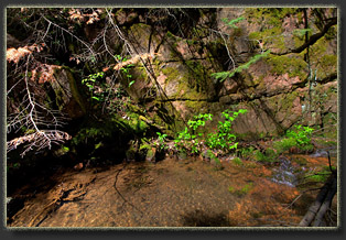
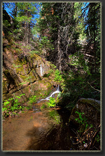
One of several beaver ponds
on the Middle Fork
|
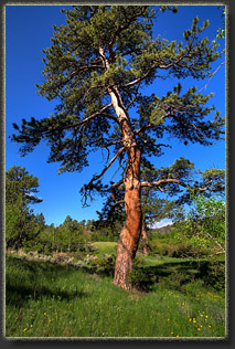
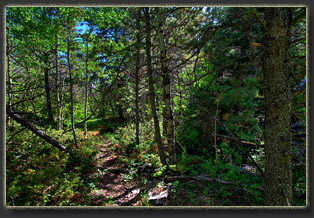
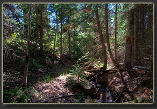
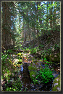
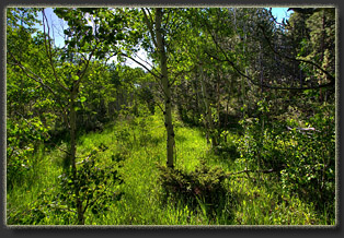
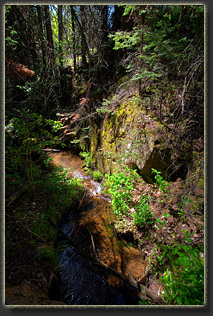
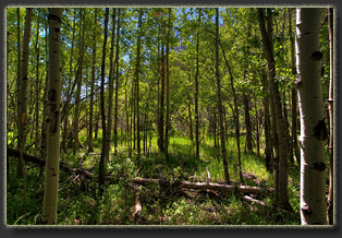
A nice stretch of cool,
hidden stream in the pines
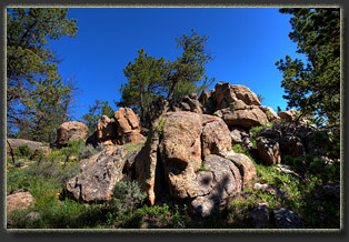
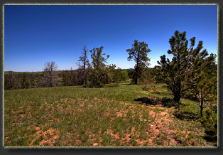
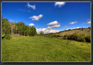
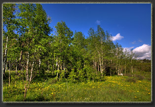
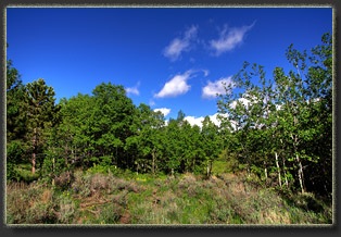
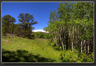
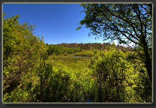
This is such an archetypical
picture of the Pole Mountain Unit
|

;)
;)
;)
;)
;)
;)
;)
;)
;)
;)
;)
;)
;)
;)
;)
;)
;)
;)
;)
;)
;)
;)
;)
;)
;)
;)
;)
;)
;)
;)
;)
;)
;)
;)