Wild Horse
Canyon
-
Location: San
Rafael Swell, Utah, near Goblin Valley State Park
-
Access: From Hwy
24 north of Hanksville, turn west on Temple Mt Road at the Goblin Valley
State Park sign. Head northwest on Temple Mt Rd for 7.3 miles to Chute
Canyon Rd (CO 1016) and turn left. Head west on CO 1016 for 1.3 miles to
Wild Horse Creek, which the road crosses. Park somewhere in this area,
or drive down the creek bed for 50 yards to the TH.
-
Maps: USGS 7.5í
quad Temple Mountain
-
Trailhead: UTM
NAD83 z12 525196e 4278490n 5530'
-
Trail: Follow
the creek channel downstream into the canyon. No marked route, just stay
in the creek channel. Narrows occur 2.8 miles from the TH, and the canyon
opens up into the flats not far beyond. Elevation loss is a barely-noticeable
250'.
-
Fees: None
-
Dogs: No restrictions
Weather: National
Weather Service Forecast
View
Larger Map
September 27, 2012
After hiking Crack and Chute
Canyons, Griff and I drove east to find a spot to camp for the night. When
we reached Wildhorse Canyon, we arrived at a large flattish area dotted
with junipers that has been used by campers before. Fire rings and, unfortunately,
lots of trash, spoke to historic use. Griff nudged the truck in between
some junipers and we pitched our tents on the high ground among the trees.
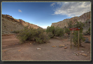
The afternoon was yet bright when we finished, and the canyon beckoned,
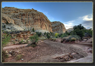
so at 4:15 we passed by the trailhead sign and followed the wide, sandy
wash downstream. The approach to the canyon was pretty long, and for a
mile or more we hiked in the open wash through relatively open country.
The reef lay to the south, and we worked our way towards it via the sinous
path of the creek. Vegetation was more extensive in this drainage than
in Crack or Chute, reflecting both the more open nature of Wildhorse Canyon,
as well as an apparently larger watershed that funneled more water through
here. We noted pinyon pine for the first time on the trip, a welcome variation
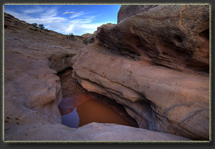
on the juniper landscape. Because it had rained to the north the previous
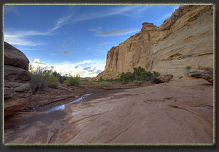
evening, every depression in the creekbed was filled with murky water and
we often walked through mud in the creekbed.
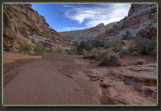
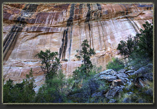
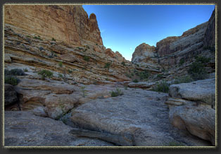
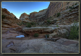
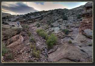
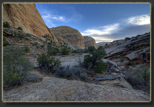
Upon reaching the reef, the
channel took a left turn and ran parallel to the reef front in a wide,
v-shaped canyon. On the right, the canyon was bounded by tall, nearly-vertical
walls broken by minor canyons and cracks, while on the left, the rock sloped
gently upward at a shallow angle for half a mile. One could easily walk
that way. We stayed in the channel and continued east. We passed by a grove
of Douglas Fir and pinyon pine, an odd little island of forest in a sheltered
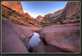
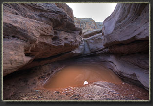
cove up against the cliff face that hinted at a spring nearby. Many plunge
pools dotted the canyon floor, but all were easily bypassed.
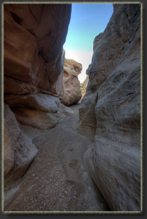
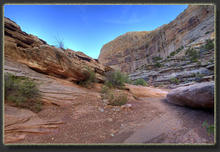
The canyon took a right turn
and began to head south, and in this bend lies the only stretch of narrows
in the canyon, a short section that is blocked halfway through by chokestones
so itís easiest to approach it from below. We could see the flats beyond
to the south, where somewhere lay the road to Goblin Valley. I had read
that there were petroglyphs in this bend, but after searching around and
carefully inspecting the canyon wall, we didnít find any. We turned around
and began walking back.
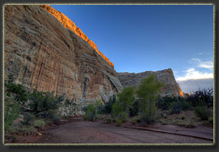
The sun was setting as we
trudged west, and the last evening light glowed on the top of the canyon
wall to the south, with the nearly-full moon rising behind it. Griff found
a large chunk of petrified wood and we hefted it and examined it before
leaving it in the middle of the wash, where Griff found it. My hunger for
dinner made the final stretch through the open wash seem very long, and
well after dark we reached camp, around 7:45. We finished off the day by
grilling bratwurst and plowing through a bag of chips. Then bed and the
pleasant sleep of the footsore hiker.
|
|


