Whitehead
and Rhoda Peaks
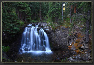
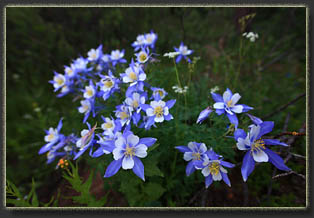
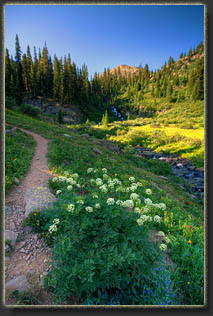
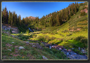
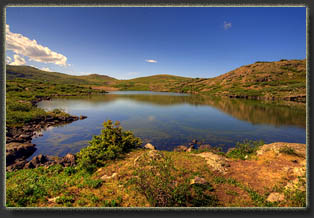
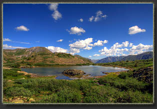
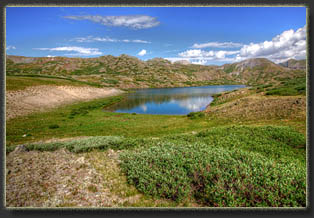
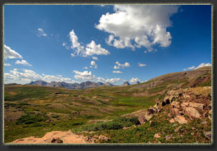
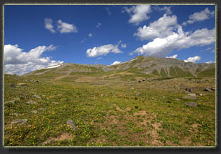
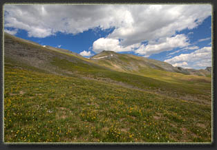
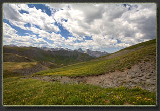
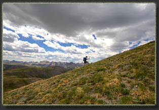
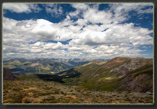
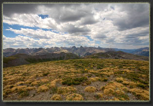
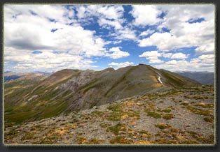
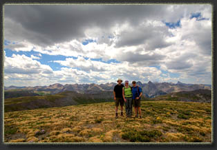
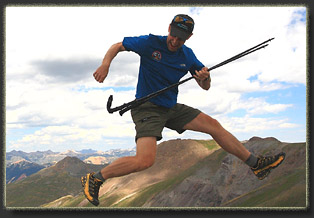
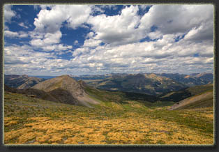
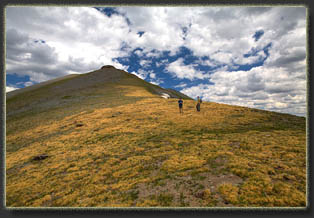
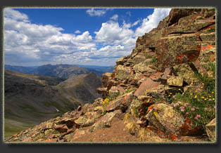
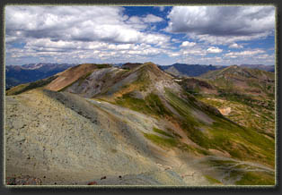
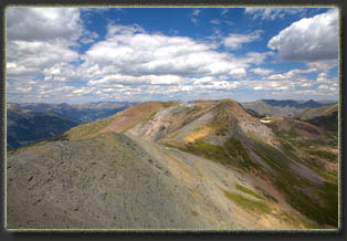
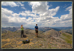
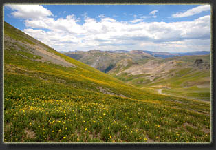
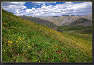
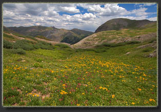
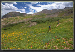
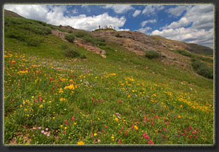
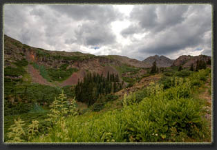
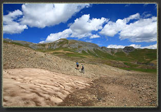
Steiner and I drove down to Silverton to meet up with Mike, who was days away from running the Hardrock 100, and had rented a house in Silverton for the week. We met up with him on a Monday, and early the following morning we headed out the door, piled into Mikeís rented truck, and rumbled east to Cunningham Gulch. Mine tailings seemed to spew out of every visible mountainside, and rusted iron scrap and junk seemed to lay everywhere. In some ways itís interesting history, but in other ways, if you think about it, itís just trash and junk left behind by miners a century ago. Odd how after 100 years junk becomes cultural pride. But I must confess the odd steel trappings and mounds of mined rock did catch my attention, and I marveled at how much industry these fellows put into pulling metal out of the ground under what had to be extremely harsh conditions. We drove to a switchback in Cunningham Rd under a cloudy sky and saw a parking area. None of us had hiked here before, so we thought this was the TH, bolstered by the fact that another car was already parked there. So, we parked. Turns out the road keeps going, a bit more roughly but certainly passable, up to the real trailhead a mile beyond. Owell, the extra mile provided us a warm-up of road hiking. We started out at 7:35. By 8:00 we were at the Highland Mary Lakes TH, where a scattering of cars and campers greeted us. A big group of hikers was preparing to get going, so we quickly hopped on the trail and got a distance between us before they started off. A big group like that moves slowly, usually, and is difficult to pass when they get spread out on a trail. The trail slipped into a lush spruce-fir forest. I was refreshed to hike in a conifer forest not ravaged by bark beetle, as the northern Colorado/southern Wyoming forests are. I could see virtually no dead trees. Water was everywhere, and so were wildflowers. Brilliant blue columbines lined the trail where canopy gaps allowed sunlight in. We passed by several waterfalls on Cunningham Creek, and the sun peeked out. It quickly turned into a glorious morning. We passed by a sign marking our entrance into the Weimenuche Wilderness, and shortly after we were above treeline, snaking our way amongst rocks and scrubby krumholtz. We stopped on a sunny boulder and snacked, then moved on. Near the first lake, we met a wilderness ranger. What a job! Looks like a paid vacation to me. We circled around the frist small tarn in the Highland Mary Lakes, then hiked along the eastern shore of the next lake. The entire area is treeless and open, and the lakes are pretty forbidding. Not that you would expect cozy hominess at 12,000 feet. We reached the south end of the lake, and, watching the trail closely and referencing the USGS map, we sought the trail junction so we could take our trail west to Whitehead Peak. No junction actually seems to exist. The trail that heads west on the map is fiction, or at least it is so faint that none of us could see it. When we crossed the inlet stream of the largest lake, we knew we had gone too far. By this time we had pretty well figured out which of the humps on the western horizon were Whitehad and Rhoda, so we simply got a bearing and made a bee-line for Whitehead. When youíre above treeline, navigation is just that easy. We hiked over relatively mild terrain, mostly alpine tundra, to the gentle east face of Whitehead Peak, and then up the slope to the top. Nothing to it. We summited at 11:30. The summit is quite a place to view mountains in all directions. If rugged mountains are your thing, the San Juans donít disappoint. The Grenadier Range to the south was especially impressive, with extremely steep pinnacles of granite that seem like they were flown in from Austria. We snacked, took some pictures and enjoyed the view. Mike amped up his air guitar for us. We puzzled over the presence of cow pies. Not sheep pellets or elk droppings, but big, fat cow pies. At 13,000 ft? What kind of cow comes up that high? Clouds were rolling in, and the wind was fairly stiff up top, but the weather seemed mild enough to keep up high and follow the ridgeline north to Mt Rhoda, less than half a mile away. We followed the ridgeline and dropped down a few hundred feet in elevation to the saddle. The USGS map shows a trail here, but there is no sign of it. The tundra was dry and crisp. I had expected to see the fabled San Juan flower shows, but the dry summer seems to have quashed the floral display, at least for early July. I understand it rained heavily most of the end of July. By 12:00 we were on Mt Rhoda, staring down the gut-crawling north face to Spencer Basin, 1,000 feet below. The east face of Mt Rhoda may be gentle, but the north face looks extremely intimidating. The summit of Mt Rhoda is a flat slab of durable rock about 30 feet across. While on the summit, we heard what sounded like a tent flapping in the wind on the west side of the summit block. It was extremely loud. I walked over to the edge, expecting to see a tent being ripped out of the ground just below the rock ledge, but instead I got caught in a wind vortex so strong it pulled my shirt up to my armpits. I only barely got a hand on my hat to keep it on my head. I stood in the vortex of hissing wind, and watched it pick up inch-diameter rocks several inches off the ground, swirling them around like a little tornado. Iíve never seen anything like it. Must just be the way the winds met at the summit and played off each other. We consulted our map and the visible terrain, and decided to try to make a loop hike of it by heading further north along the ridge, dropping down from the saddle in Spencer Basin, and picking up the trail we could see 1,500 ft below us and about mile away. We exited Mt Rhodaís summit down a narrow ramp of rocky soil that was no wider than 10 feet, and followed the ridgeline down to the saddle. It was very steep off the saddle, but the mountainside was covered in grass and small yellow flowers, so there was no danger of serious injury in case of slipping, which I dead several times. Actually, the flowers in Spencer Basin were the best of the trip, with a fair amount of Indian paintbrush, purple daisies and yellow asters. We scooted on down the basin and finally hooked up with a trail that seemed to be coming down from Sugarloaf Peak. Anyway, it was well-trod and we picked up our pace considerably once we reached it. I developed a fairly intense altitude headache around this time, and guzzled water as much as I could. We plodded down the trail along Mountaineer Creek, passing by an old mine that I spent a few minutes checking out (no longer open). Finally, we closed our loop at the trailhead around 3:00, then hiked the last mile to the truck, finishing around 3:20. Iíd have to say this was probably my favorite hike of the summer.
|
|
