Location:
Washout Gulch, just west of Idylwild along the Poudre River west of Idylwild
in the Roosevelt National Forest, Colorado
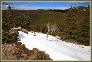
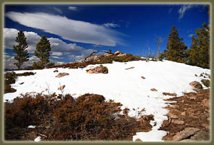
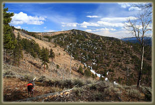
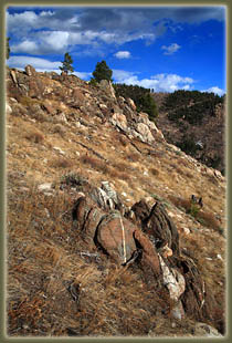
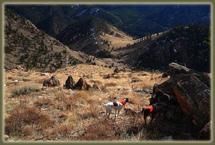
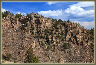
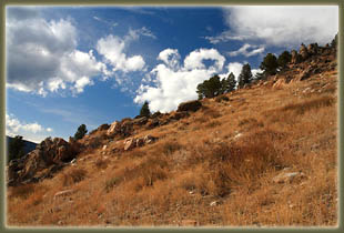
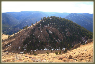
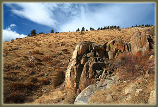
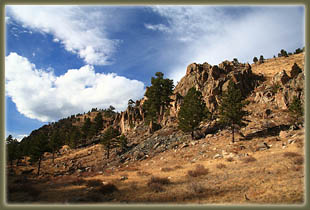
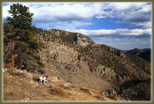
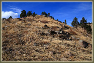
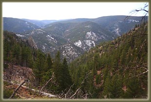
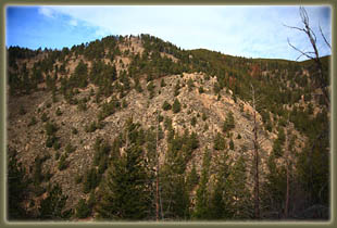
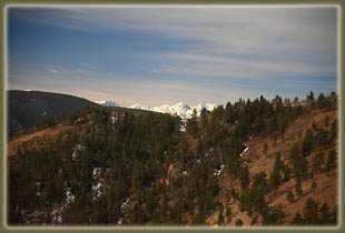
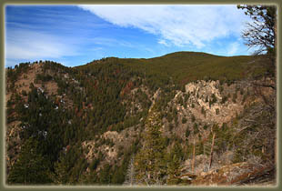
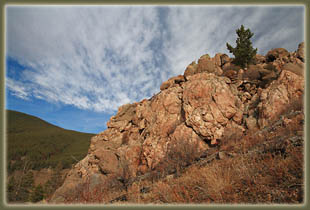
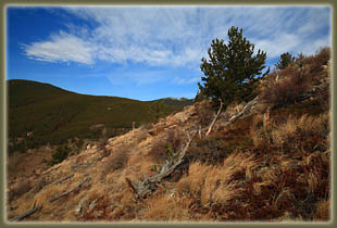
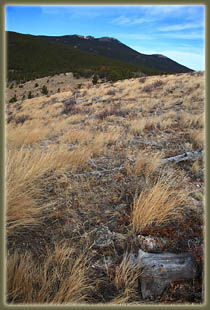
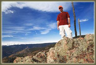
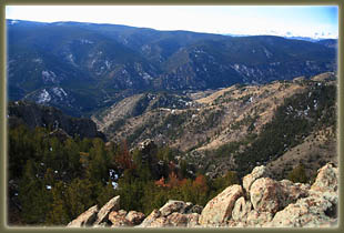
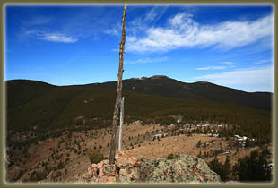
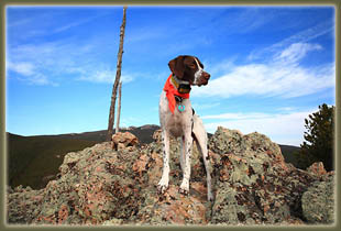
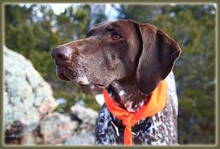
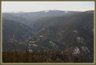
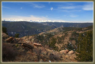
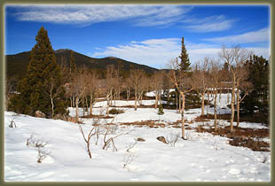
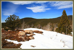
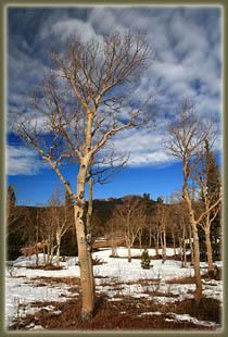
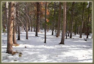
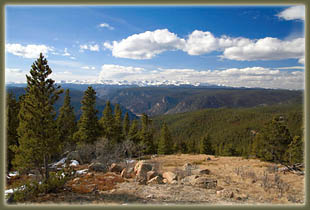
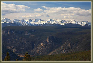
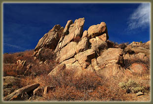
November 11, 2009 I parked on the blacktop pullout at the inconspicuous mouth of Washout Gulch at 8:30. I picked this gulch out from a quad map, and my imagination did not accurately predict the hidden gulch entrance, swathed in vegetation. I put on my hunter-orange hat, vest and slipped orange bandanas around Henry and Makenzieís necks before allowing them to spill out of the car and up the slope into the tangle of chokecherry, willow and birch that grew in the gulch bottom. I pushed through the thick branches and dormant undergrowth to the north, and came to a campsite with a sort of log lean-to held together with twine and rope. It looked pretty rickety, and I canít imagine it has ever provided any sort of shelter. We moved on up the gulch and all signs of human presence were left behind. To my surprise, a modest trickle of water, a few inches deep, was coursing down the steep canyon. We followed a series of ill-defined game trails up the canyon, sometimes on the east wall, sometimes on the west, sometimes in the very bottom, wherever the slope was least and the willows were thinnest. It was a gray, overcast morning with no wind at all, air temperature of about 40. I was pretty comfortable in my long Ėsleeved shirt, though I noted early-on that my orange vest breathed about like a plastic bag. The dogs frolicked in the tall, tawny grass and I kept up as best I could. Four legs definitely seem to carry one up a steep canyon with much greater efficiency than two. About halfway up to the head of the gulch, the slope on the east wall of the gulch opened up in a burned area, and it looked like easy going, so I followed Henry into the open grassy area and began zig-zagging up the steep slope to the east. It was a fun game of dodging the dead trees on the way up, and several times I had to help Makenzie over big tangles of logs. Henry is still young enough that leaping is his solution to such obstacles. As we got higher, I was pleased to see the snow-clad Rawahs come into view to the west. To the east and south, a wall of sharp rock rose out of the sloping hill, with needles and odd chunks of stone that formed arches and what appeared to be caves. I initially thought to approach the wall directly, but there were so many fallen burned trees near the base, it seemed a lot more trouble than it would be worth to pick my way over there, so I skirted to the north towards the ridgeline. We crested the ridge to the east of the gulch, and I then followed the ridgeline south a short ways to the high point of the ridge, shown on the quad as 9649í. True to the quad name, Kinikinik, an evergreen groundcover with edible berries, grew everywhere in rich abundance. Closer to the summit, we walked through stands of stunted aspen, which were only a few feet tall, but very stout and strong. Amongst these aspen, snow had piled up in large, hard swells that were still firm enough to walk across without breaking through. We entered a thick stand of limber pine right near the high point of the ridge, and crossed over more firm snow drifts to get to the rocky outcrop. A tall wooden pole marked the high point among a group of rocks, and upon arrival at 10:00, I took off my pack and drank water, removing my plastic vest to let the sweat from the hike up dry a bit. Makenzie brought me a rock to throw in lieu of a ball, and Henry sat at the high point and watched the world. To the south, a ridgeline of interesting needles rock descended towards the diminished current of the Poudre River, of which a short portion could be seen. The Rawahs to the west were the most interesting feature, and I sat for quite a bit picking out the different peaks. During this time the sun came out in intervals as the haze gave way to more developed clouds that glided east above us. This was as far as my initial plan had taken me, but I was feeling pretty good, so I looked around for something interesting to check out. The next highest peak, a pine-covered summit to the northwest, looked like a good spot, so we headed in that direction. We crossed a good number of thick snow drifts, and as we got into the more densely-wooded area leading uphill, the snow became both more widespread and deeper. The sun came out full as we made our way northwest. I noted large ungulate tracks in the snow, and the accompanying dung confirmed to me that they were moose tracks. No matter how clear the route appears to be from afar, I always notice that once you get into a large stand of lodgepole pine, the directions always get muddled. I had my map, but I also had my GPS and so I cheated a little to make sure I didnít go off in a screwy direction. All was well, but that GPS sure is nice to have to confirm the right course. So we curved around to the west and continued on uphill in pine needle-covered snow that eventually got to a consistent depth of about 12Ē. Along the way, we encountered what could be a trail, though with the snow covering it, I couldnít be sure. Further along, we hit a road, all covered in snow. My map didnít show any roads at all, so I was a bit surprised to find this. We reached the open high point at 10,132 feet around 11:30. The wind had picked up a bit, so it was fairly chilly and I didnít stick around long. We backpedaled down the way we came to a sunny, protected spot where I laid down with my head on my pack and took an extremely-gratifying 20 minute nap. Nothing refreshes like a good nap. From there, it was simply a matter of pointing my boots in the right direction and going downhill. I wanted to make a loop out of the hike, and the map showed a promising gulch just west of Washout Gulch, and I aimed for that. We passed through large aspen groves, denuded of leaves, and stands of lodgepole pine mixed with Douglas fir. On the south-facing slopes, large cinnamon-barked ponderosa pines dominated. It was a pretty nice mix of trees, all around. I found the intended gulch, and noted the abundance of burned and downed trees, and decided I didnít want to pick my way through that, so we headed even further west and stuck to a ridgeline that was leading down in parallel with the gulch a thousand feet below. This was a good move, as the going was both easy and scenic. The last steep run of that ridge brought us down into a wide, gently-sloping valley that ran east to the river and the car. But I was first taken with the symmetry of a nice little mountain to the south of this valley and decided a quick detour to climb the 400-foot hump was worth it. Oddly, if my calculations are correct, this is the only true mountain we summited all day, since every other high point didnít have enough prominence to separate it from South Bald Mountain, which lies another few miles to the north. It was a steep climb, and I was sweating like a champ when we got to the top, but it was a nice haul. At the top, I sat on a rock to cool down, and Henry took the opportunity to dig up a nest of pine duff and curl up for a nap. I headed
straight down the open grassy slope to the east under an orange late-fall
sun, and then into the shadows of the gulch that would take us back to
the car. This plan worked out mostly, though a house at the mouth of this
gulch necessitated a quick detour east along a steep slope. I returned
to the car around 2:15, with Henry and Makenzie dragging behind.
|
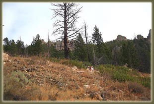
Henry romps up Washout Gulch
|
