| Twin Mountain
Location: Medicine
Bow National Forest; Vedauwoo; Southeast Wyoming east of Laramie
Access: Many ways
to get there, but hereís one: From Happy Jack Rd east of Laramie, take
FR707A west (the turnoff is about 1.8 miles south of the Blair-Wallis Rd),
then take the first left on FR707AA and head southeast about 6/10th mile
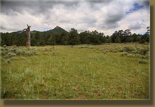
until the road crosses a wide meadow. Park along the road. FR707AA is fine
for passenger cars.
Route: From FR707AA,
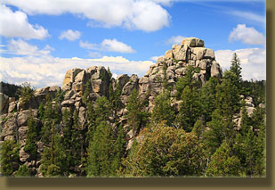
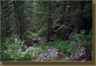
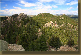
itís about 1 mile cross-country to the summit over rocky terrain. There
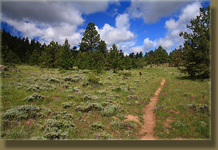
is no direct trail to the summit, though a network of trails may facilitate
travel for some distances. Take a compass and head 230 degrees from the
meadow, and that will get you there. You can often see the summit through
the trees for course-correction. A bit of rock-hopping is required to reach
the summit, but itís not scary. Elevation gain: 680í (8100-8780í). Allow
about 1.5 to 2 hours for the round trip.
Map: USGS 1:24K-scale
quad = Sherman Mts East
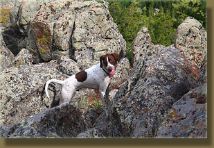
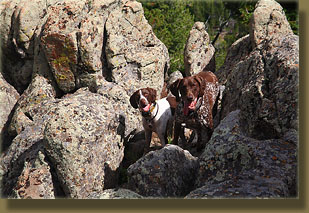
Dogs: No restrictions,
but canines will have a tough time getting to the summit because of the
rock-hopping required.
Webcam: Vedauwoo
Exit cam (4 miles south)
Weather: Current
conditions Local
Forecast
Fees: none
View
Larger Map
July 4, 2009
Hike Haikus
Hiking Twin Mountain -
Mosquitoes bite viciously
Under a cloudy sky.
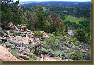
Dogs run up ahead
Appearing at intervals
Through pines and sagebrush.
Four wheelers in mud
Grinding engines down below
Shattering the silence.
Fresh green aspen stands
All neatly trimmed to the height
Of a grazing cow.
Sweaty and gasping
Up the steep rocky mountain
Green leaves with raindrops.
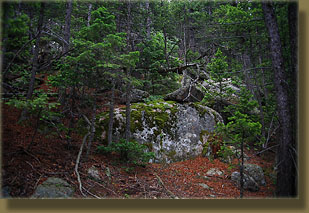
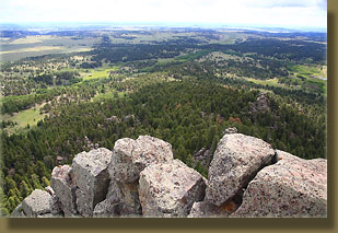
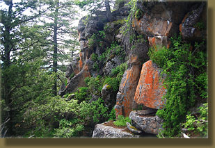
Mossy rocks near summit
Good shoes required for this
Great view is worth it.
|
