| TRAP PARK
Location: Roosevelt National
Forest / Neota Wilderness; northern Colorado
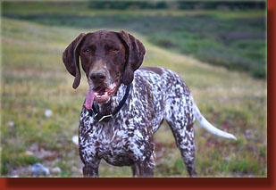
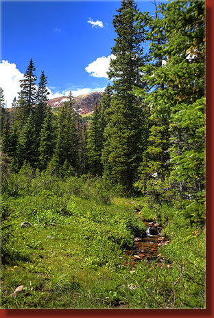
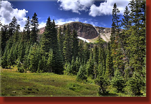
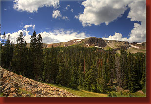
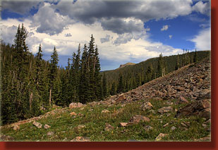
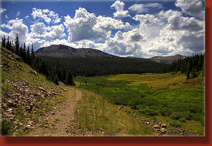
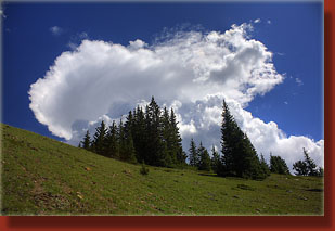
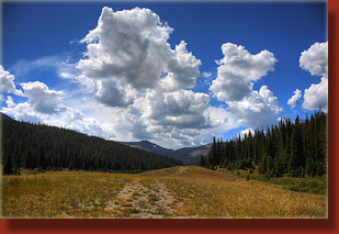
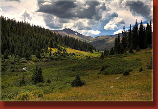
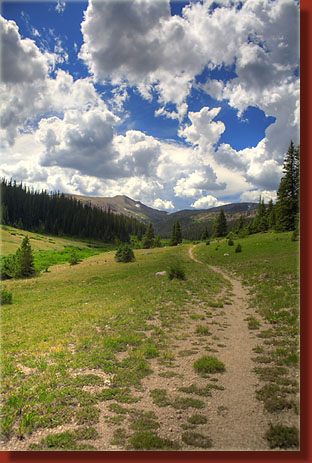
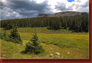
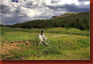
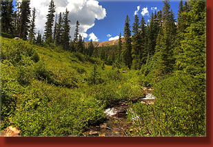
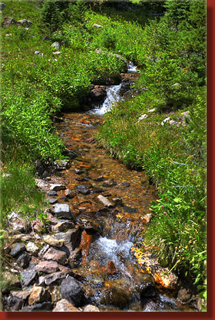
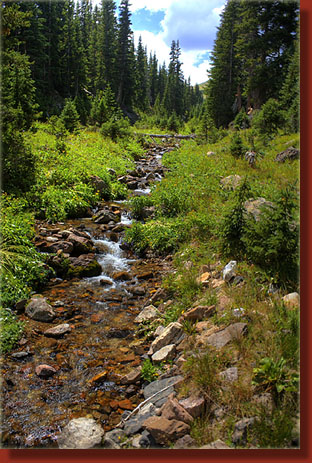
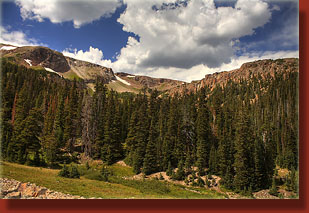
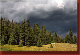
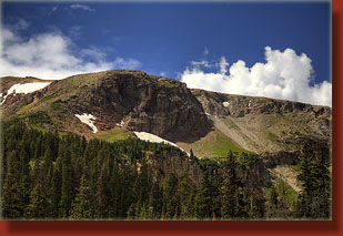
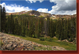
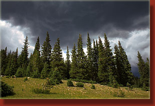
August 24, 2008 Iím heading west under blue skies on the Poudre Canyon highway, my favorite stretch of road in America. The foam-capped rapids of the winding Poudre River come into view occasionally at certain bends in the road, gleaming in the sunshine. Makenzie pants heavily in the back seat, poking her head out the back window to sniff the mountain air. Itís a beautiful August day. I pilot my Subaru up Long Draw Road, and watch for the signs to Trap Park. I drive for a while, feel like Iíve gone too far, and stop the car to check the map. Nope, not far enough. Too anxious. I get back in, drive a little further on, and see the sign on the right for Trap Park. Pulling into the parking lot, I see two other cars, but nobody around. I put on my boots under the warm sun, slather on some sunscreen and shoulder my pack for releasing the hound. Makenzie bounds out of the back seat and circles the area with her nose to the ground, tail spinning wildly in a clockwise corkscrew pattern. Sometimes simple wagging just isnít enough, I guess. We head on up the wide trail through a small meadow, then start up what appears to be a road blasted out of the mountainside. Sharp limestone boulders line the trail, and at the first bend, we leave the trail to check out Trap Lake, below. Anglers surround the lake, standing still and watching for fish. From my vantage, it appears that Trap Lake is very shallow, or perhaps filled with exceedingly clear water. To the north, I can see Clark Peak and an enormous anvil cloud that has developed disturbingly early in the day. This does not bode well. Resuming the uphill tromp on the old logging road, Makenzie leads the way into the forest. Tall, dark-green pines line the road, with spruce mixed in here and there. A valley begins to form and drop away to the right while the trail continues to climb steadily. I let my mind wander and enjoy the flicker of dappled sunshine on my face. Makenzie is in dog paradise, panting, wagging, slobbering and trotting back and forth across the trail to sniff whatever it is of interest to dogs in the wild. After about a mile, the trail opens up into Trap Park, an open meadow nearly 2 miles long that fills the valley running northeast away from Iron Mt, which is clearly visible way off on the horizon. Thereís a bit of a choice to make, as the trail appears to branch just before crossing Trap Creek. I decide to take the right fork, cross Trap Creek, and head southwest along the trail that hugs the meadowís western edge. The imposing bald summit of Flat Top mountain looms over the valleyís east wall, beckoning for exploration, and is likely the destination of the left fork of the trail back at the creek crossing. Thick clumps of choppy-looking cumulous clouds blot out much of the sky, and the signs indicate that it will be raining before much longer. The trail grows ever fainter as it proceeds, narrowing from a road to a path. After about 2 and a half miles, the trail crosses Trap Creek a couple more times through tall sedge and bulrush, and shortly after a sign proclaims the wilderness boundary and reviews the rules. From here on the trail is not well defined, and I am often simply making my own way up the ever-narrowing valley along Trap Creek. I encounter the trail periodically, and lose it shortly after. No matter. I know where I want to go, and I can see it regularly through the breaks in the forest. My goal is the saddle north of Iron Mt. Perhaps Iron Mt too. Blue skies in the mountains often make my goals too ambitious, so I purposefully try to keep it simple. It is necessary to cross Trap Creek numerous times, but it is so narrow I can simply hop across it. A shaded glen next to the creek beckons for a rest break, and so Makenzie and I sit down and share a peanut butter and jelly sandwich, and a few moments of silence, listening to the wind whisper through the conifer needles overhead: a very unique mountain sound. You never hear that pitch of wind through trees in the deciduous forests east of the Rockies where the large maple and ash leaves clatter and rustle. Thereís no rustling sound to the wind blowing through conifers. You need stiff pine and spruce needles to stoutly resist the wind to get that silky, lonely whisper of air, that sound that instantly makes clear to you what wilderness is. We hike on, reaching an exposed rocky face at the base of the Iron Mt massif. I can see the way to the saddle from here, and it looks very steep and rocky, not very inviting. Even less inviting are the thick white clouds racing across the sky from the west, portents of a building storm. I find a large flat rock some ways up the rocky expanse, and observe the reddish cliffs and rockfalls of the western side of the valley. It is open boulder field as far as I can see to the southwest, towards Iron Mt. I try to judge if the summit is in view, but I canít tell if Iím looking at the actual summit or a false summit. Clouds continue to build, and now they have dark gray bottoms. After watching for 15 minutes, I decide it would be foolish to continue higher up, and decide that in fact we are going to be lucky to make it to the car without a solid drenching. We head down the valley, and I sometimes see my own bootprints in the soft soil along the creek. By the time we reach the wilderness boundary, the sun is completely hidden from view, and the wind makes it chilly. I throw on my flannel shirt, and we march on quickly through the meadow. The white puffy clouds from an hour ago have merged into a solid bank of dark gray with a wet, ragged bottom that seems to scrape the trees tops on the ridges. The air smells wet, and just around the time we cross Trap Creek near the bottom of the meadow, the sky opens up on us. It is a classic monsoon-season drenching thunderstorm. Thunder rolls across the valley, and I am extremely pleased that we have made it to the comforting-security of the trees again before the lightning has shown up. I throw on a rain jacket and draw the hood close around my face. Water drips off my nose and my pants are almost instantly soaked. It gets cold fast. Makenzie is drenched in minutes, but thereís no help for it. She actually seems to be pleased at this development. We walk on down the road, boots splashing in the thin layer of water that is rushing downhill ahead of me. I let my mind wander again through this uneventful stretch of trail, and before we reach the car, the rain stops and the sun comes out again. Weather changes so quickly up here. At the car, I exchange my wet shirt for a dry one, and my wet boots for dry sandals, and unzip my wet pant legs. I towel off Makenzie with my damp, discarded t-shirt, and we hit the road. |
 |
