| RED
MOUNTAIN
Location: Roosevelt
National Forest, Poudre River Canyon, west of Ft Collins, Colorado
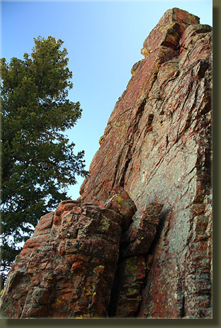
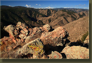
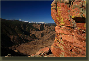
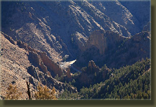
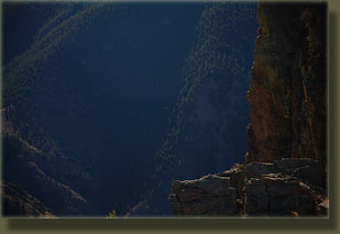
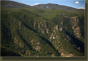
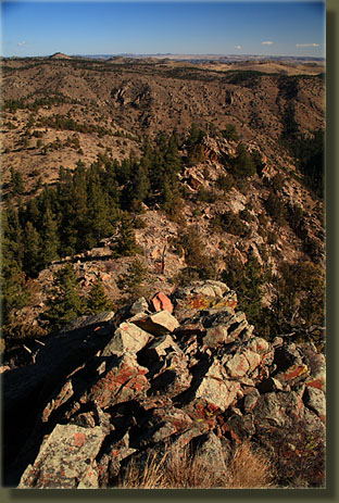
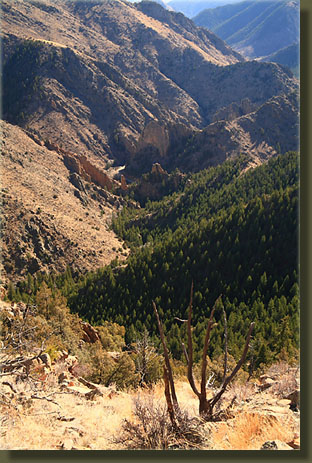
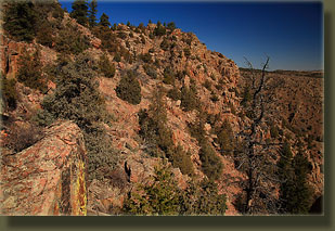
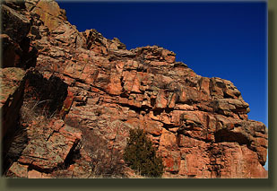
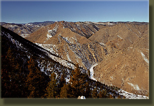
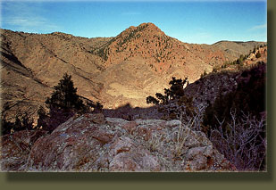
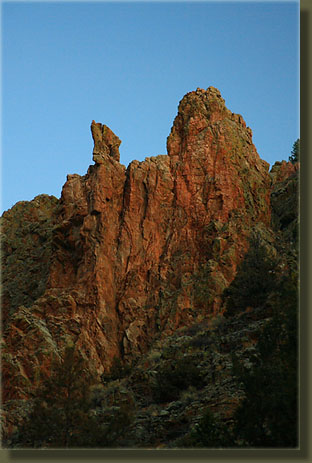
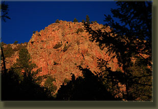
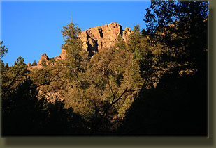
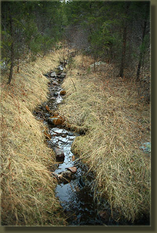
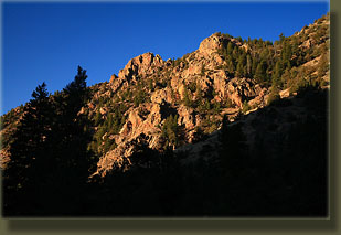
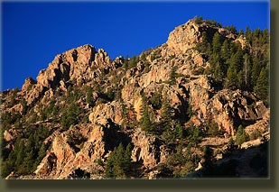
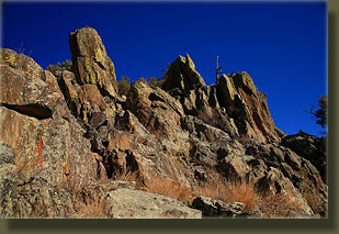
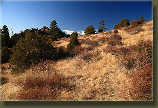
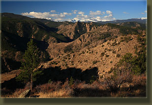
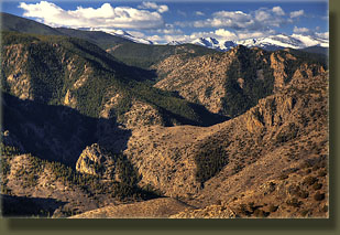
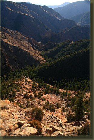
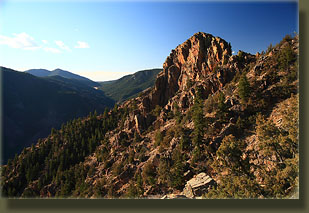
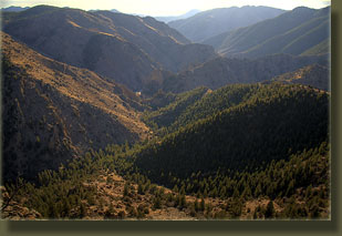
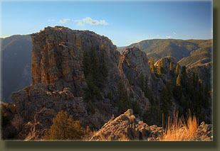
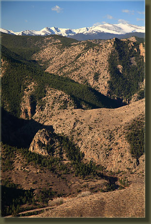
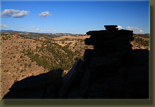
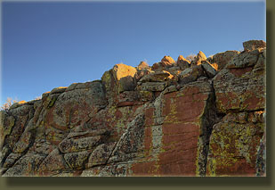
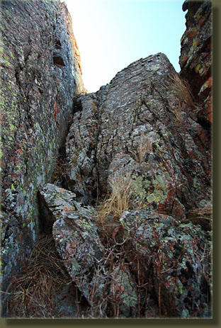
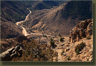
 March 22, 2009 The most obvious route up Red Mt as far as I could see was to head up Cedar Gulch and at some point head up the east side of Red Mt. This meant that at some point I’d be hiking uphill in full sun with no cover, and for that reason I arrived at the pullout by Cedar Gulch at 7:00 in order to get most of that uphill done in the shadow of nearby mountains. The forecast had called for mostly cloudy skies, but it was clear as a bell when I arrived and a brisk 35-degrees. In the quiet cool of morning, the rippling current of the Poudre River provided an uninterrupted soundtrack as I put on my fishing waders, then put on my pack and headed down the slope to the river. True, the river was only knee deep at the greatest depth, but when it’s 35-degrees out, fishing waders seem like an awfully good idea. On the far shore I changed into my boots and stashed my waders under a thick juniper before heading on up the trail. I was surprised by how well traveled the path up Cedar Gulch appeared to be. A well-worn and wide path followed the creek, with rock cairns here and there. The route led between several sets of vertical rock fins that are perhaps the most dramatic geological feature in the entire Poudre Canyon. The orange rock, spattered with lichen in shades of neon green and rust red, forms successive vertical walls of rock that have been broken through by Cedar Gulch and the intervening sediment washed away. Dormant willows and cottonwood seemed to be thriving in the cool, narrow canyon beyond, and a little trickle of water provided some walking music. I came across what appeared to be a mine tunnel but it only went in about 15 feet. Thick steel cables, thoroughly rusted, lay on the ground, for purposes I could not imagine. Someone told me once this is a popular rock climbing place, for obvious reasons, and the path petered out significantly after I left the interesting rock formations behind. I followed the creek and came to a couple of small waterfalls that were easily bypassed to the south. A canyon wren’s lilting call echoed through the shaded canyon as I walked along, and I think it’s probably a tossup whether the canyon wren or the meadowlark’s call is more pleasing to hear. The air was cool, but pleasant, and I continued on at a brisk pace through the narrow corridor. Sunrise light on Red Mt ahead glowed orange, visible only in pieces through the junipers and pines that shaded the gulch. At 7:45 I came into a clearing with the remains of a log cabin and a large firepit. I stopped to shed my sweatshirt and drink some water. Shortly after I reached a stretch of very faint path that mirrored a straight, 100-foot section of the creek with pressed grass on both sides. At the end of this section the path disappeared entirely, and I took the opportunity to leave the gulch and head uphill to see what was about. I was right about at the junction of two significant drainages, and decided that it was time to head uphill. Once in the clear, I had a great view of the Red Mt summit to the south and the concave bowl of rock and evergreen that sloped away from it to the north. To the west it looked like easy going up a very steep, but relatively smooth grassy slope dotted with junipers, so I headed up, unable to resist turning around every 10 steps to admire the canyon to the east that was becoming increasingly visible as I rose in elevation. Around 8:15, I reached the sunshine boundary, and stopped to put on sunscreen and shed my flannel shirt. It wasn’t much above 40, but that sunshine beating down through clear blue sky made it feel like 70. The next half hour was a hard slog up 1000 feet of typical Poudre Canyon rough country: slick wheatgrass, loose angular rocks, junipers, prickly pear cactus, mountain mahogany and intermittent cliff bands to block the way up. By the time I reached the ridgeline, I was dripping sweat from my nose, but feeling great. The wind was blowing a little along the ridge, but nowhere near the forecasted 20-30 mph wind that would probably arrive later in the day. The sky to the east was nearly clear of clouds, I was happy to see, and the spectacle of the mountains in that direction was spectacular. The southwest side of Red Mt is extremely steep, almost vertical for some ways down, and this creates a gulf of space below to the Poudre River. Beyond the river, undulating pine-covered ridges, one after another, are stacked up against each other to the horizon where the snow-draped Mummy Range transitions into deep blue sky dotted with vaporous clouds. In all the Poudre Canyon, I think this is perhaps the best vista I’ve come across. Equally impressive was the view to the east, where the sun backlit each ridge running down to the river, regular and symmetric like ribs. Keeping to the ridge so I could enjoy both views at once, I headed south towards the summit, passing over two nice sun-drenched false-summits along the way. The summit was unapproachable from the north by way of a vertical cliff face stretching up 25 feet. Circling around to the west looked more promising, so I tried it, dropping down slightly through a few Douglas fir and then picking my way uphill through boulders, hoping for a way up. At around 9:00, I finally came to a dead end at a slanted slab of rock 15-20’ high that I felt I could climb up. I wedged my boots into the crack and slithered up to a nice little platform that looked almost straight down to the south and west. To continue up required more climbing but this time there was a 150’ dropoff to the south the contend with, and I didn’t consider this option for more than a fleeting instant. Instead, I pulled out my sweatshirt to block the wind, and leaned up against the mountain to enjoy the beautiful day and throw down some peanuts and lemonade. The summit was just to the north, and I could see the sun hitting the rocks on top just 20 feet up, but could not get there. I’m sure there are hikers more bold than I who probably have made it all the way using this route, but I just don’t need that much excitement. This was close enough to the top for me. The steep stretch down was sufficiently steep enough for me to lower my pack ahead with some rope, then follow it down slowly, inching my way down the rock and sliding my boots along the crack slowly. I got back into the sunlight, shed my sweatshirt, and sat on the false summit watching the west. A hawk of some sort rose on a thermal, then dove and rose, dove and rose, almost never flapping its wings. It flew by me at interstate speed and I could hear the whisper of air through its wings. I started down the way I had come, then decided it would be best to check out the southern approach to see if that offered a better way up. I had little hope that it would, but figured it was such a beautiful day and I had nowhere else to be so why not. I dropped down a couple hundred feet and started picking my way south along the east face of Red Mt. This is seriously rough terrain through here, and there were more than a few tense moments getting down some particularly steep sections. This is a terrible route for ascent, and I wouldn’t recommend it for descent, either. I’ll never do it again. But I did this time, and ended up on the southeast ridge with only a few cactus needles in my leg for damage. I again made my way up towards the summit, slowly passed over a few nerve-wracking exposures, and once again found the way to the top barred by an even more difficult scramble. I was probably only 30 feet from where I had been an hour before. I descended slowly and carefully along the southeast ridge, enjoying the bird’s-eye view of Hwy 14 and Stove Prairie Rd. Rocky outcroppings along the way allowed me to survey the route ahead and decide how to proceed. After 30 minutes I reached a wide grassy bar that allowed me to “walk” for the first time in 2 hours, rather than pick my way with hands and feet through boulders and tallus. I headed east along this ridge, then followed a prominent forested ridge towards Cedar Gulch, passing a shallow mine pit along the way. Looking back up at the ridge I had descended, I found it looked impossible to go up or down from afar, but doing it was not all that bad. Gravity pulled me down steadily and by 11:30 I was once again in the shady coolness alongside the creek in Cedar Gulch, heading east along the faint path. Nearing the river, I heard voices and saw two guys with lots of climbing equipment heading uphill towards one of the rock spires. I reached the river, retrieved my waders and used them to cross the river again, nice and dry, arriving back at the car at 12:00. |
 |
