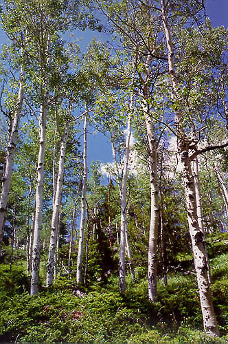
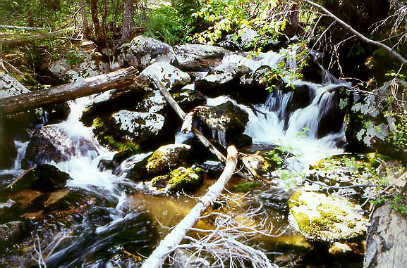
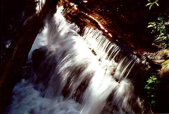
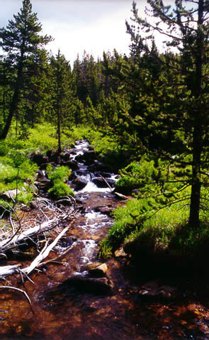
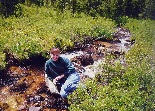
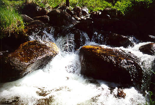
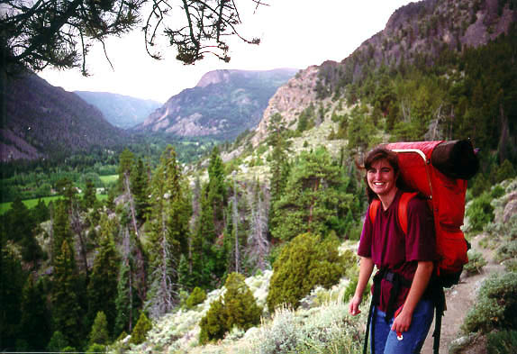
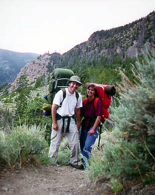
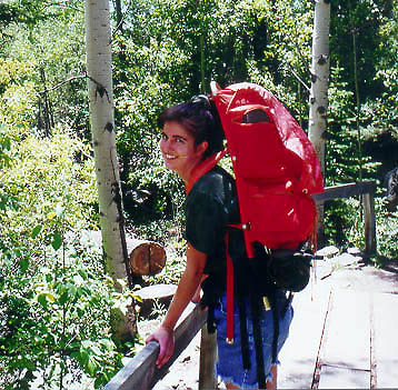
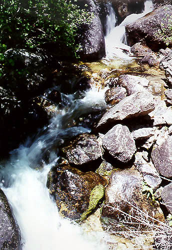
| This trip covered the final weekend of June 2000. Andra and I set out from the parking lot off of Hwy 14 in midafternoon full sun. We got rained on a bit, but it felt good as we trudged up the ridiculously steep trail, switchback after switchback. The total vertical relief of the 4.6 mile route is 2300 ft, and most of that comes within the first mile of the trail. It was hard, laborious going, and we stopped often to pant and rest our thighs. Because of the sharp climb, the views from the first part of the trail are very nice when looking back over the Poudre Canyon and Hwy 14. Soon, all of this passed form view as we droppped over a ridge and into shady pine/aspen forest and hiked along the creek itself, aptly named for the roar it gives out while cascading steeply downhill toward the river below. The creek is very rocky, and so has dozens of waterfalls and is constantly in a state of turmoil and white foam. After two to three hours of hiking, we began to feel tired, so we stopped by the creek and snacked and rested for a bit. Not more than an hour later, heavy storm clouds rolled in and I began to get nervous about getting the tent set up in time to avoid a good drenching. At the first possible sign of ground lying less than 20 degrees from level, we pitched the tent, and got sprinkled on just as forseen. The rain never got very heavy though, and we were able to cook dinner and go for a stroll in relative comfort. About 1/8 of a mile from where we stopped was a beautiful camper's dream meadow..perfectly flat, dry, clear of trees..in short, the perfect place to set up camp. The end of the trail lay about 200 yards beyond at the Bald Mountain Jeep Trail. Andra fended off the mosquitos that seemed to bother only her the rest of the evening. We read our books and went to bed around dark, forbidden to build a cheery fire by the Forest Service fire ban. The night was cloudy and warm, and the next morning was the same. Patches of blue sky shone through the fast-moving storm clouds, but by 10 AM, all was overcast and a little dreary. We hiked around along the creek, not following the trail, and made it back up to the meadow before turning back. We made a lunch of fettucine alfredo and napped for a bit before packing up camp and heading out. The hike back was understandabley less vigorous, and the only danger was allowing the pace to go too fast and falling down, as I did toward the end when I tripped over a miniscule rock in the trail. We got sprinkled on periodically on the way back, but it was light and not too unrefreshing. Right as we came into view of the parking lot, the sun came out and made us very hot. The drive back was nice as the sun came out but by the time we got back to town, the entire sky was overcast and it rained heavily in town that night. I knew all I had to do to help alleviate the drought was go camping...works everytime. | 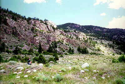
 |