Rabbit Ears
Peak
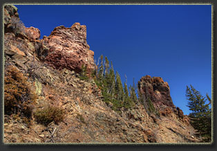
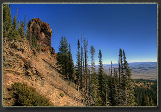
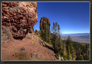
October 7, 2012 On the third and final day of our anniversary getaway, Andra and I cruised out of Steamboat Springs early in the morning under cover of an open, blue sky with a scattering of crisp yellow leaves still hanging on to the white-trunked ranks of aspen lining Hwy 40 on the slopes east of town. We bumped along the dirt road to the trailhead, finding it easily, and parked the car under the shade of a thicket of spruce trees. The chill was bracing, somewhere right around freezing. Puddles in the road were frozen over, and frost gripped the tawny grass blades in the clearings. We bundled up and shuffled on down the road. Within 100 meters, I recognized that I forgot my knit cap, so I hustled back to the car to retrieve it from my bag. OK, on the trail again, and enjoying the patches of trail that were warmed by full sunlight. We walked through open spruce-fir forest, with dappled sunlight flitting in between the dark conifer boughs, and then the road would wind out into an open prairie with patches of spruce here and there. We followed the road quite easily, and in truth most higher-clearance vehicles would have no trouble with the road. There is only a single wet crossing, and this time of year, only a trickle of water ran through it. The wind was nowhere to be heard, which was nice, and made the near-freezing temperature quite pleasant after we got warmed up a bit. I had foolishly neglected to bring any map, so we were really at the mercy of our navigation skills. From almost the beginning, the rock pillars of Rabbit Ears Peak were clearly visible, and as long as we seemed to be heading in their general direction, I didnít worry it too much. About ¾ of the way there, the road entered the forest proper, and views of the horizon were greatly diminished. It was clear we were nearing the peak, and instead of following the road all the way, we decided to head uphill to the ridgeline and follow it to the peak. Leaving the road, we scrambled up the grassy south-facing slope to the spruce-lined ridgeline and began heading east. Our reward was a fantastic view to the north of the forest and plains, with most of the Zirkel Wilderness stretching out to the northwest. Walking the ridgeline was easy, and pleasant. The wind was a bit noticeable up on top, but still not bad. We continued east until we reached a cliff, and had to retreat. The ridgeline does not smoothly lead to Rabbit Ears Peak, but had a dip just to the west. Dropping back down off the ridge into the forest, we sidehilled around the steep portion of the ridge and then headed up the west flank of the mountain through heavy timber. The ground had a dusting of snow on it, but navigation was easy: we just headed up. We spilled out on the road right where it reaches the terminous at the base of the summit. The lofty perch affords unobstructed views to the south and east, and after checking that out a bit, we scrambled up the last dozen feet or so to the rock pillars, the ďearsĒ of the mountain, and rock-hopped around a bit. I was surprised that, far from being solid monoliths of stone, the ears are, in some patches, largely composed of a clay-pebble aggregate that looks like it should have eroded away several thousand years ago. On the way down, we passed a group of hikers milling around the base of the summit on the road. We decided to take the road back, and the initial stretch was crazy steep, and I slipped on rolling gravel more than once. This stretch of road is in need of rehabilitation, as it is so steep and straight that the only eventuality is for it to erode into an unhikable, undriveable canyon. The trail should be rerouted with less-steep switchbacks to reduce erosion. Any hiking clubs out there reading this, hereís a project for you. Give me a call when you get started and Iíll come lend a hand. Near the trailhead we passed a group of hikers who had a German Shorthaired Pointer with them that, oddly enough, I recognized from our hike the day before at Fish Creek Falls. We stopped and talked with them, and confirmed that they were indeed on that trail yesterday. We didnít recognize the people, only the dog. I guess that says something about us. We returned to the car, still
in the shade. I shucked off my sweaty layers of shirts (the day had grown
quite warm), and put on a fresh one, along with fresh socks and lighter
shoes for the drive home. Then it was back to the asphalt jungle of town
to pine for the next clear, windless day up in the mountains.
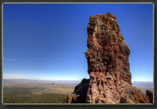
East rabbit ear with North Park beyond 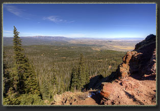
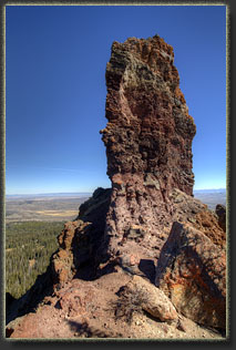
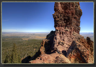
East ear 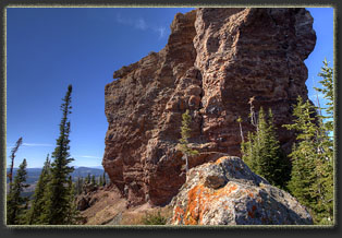
West ear 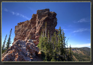
The west ear 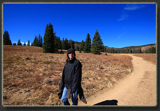
Heading back to the car |
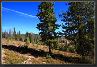
Starting off on FR291, the Rabbit Ears are in view right away 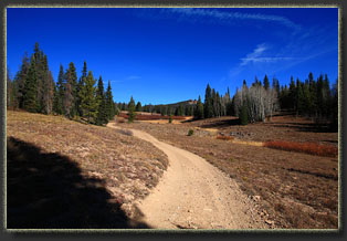
Easy walking on FR291 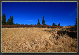
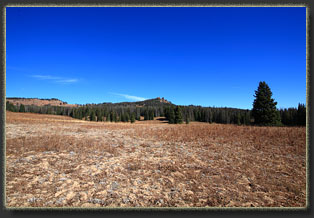
Rabbit Ears Peak is in view most of the time 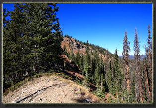
On the ridge west of Rabbit Ears Peak 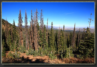
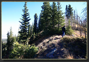
Fun hiking on the narrow ridge west of Rabbit Ears Peak 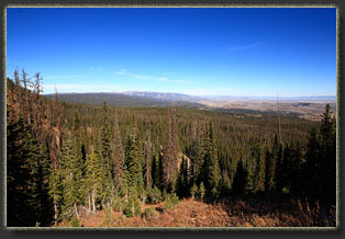
Looking north from near Rabbit Ears Peak 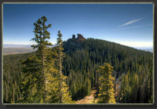
Rrabbit Ears Peak 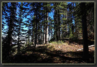
West slope of Rabbit Ears Peak 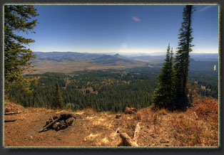
Looking south from Rabbit Ears Peak 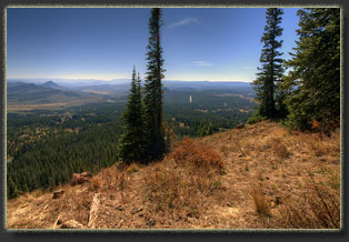
|
