

| Location:
Roosevelt National Forest, off the Pingree Park Road, Colorado
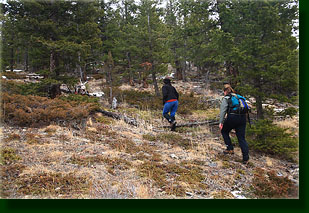
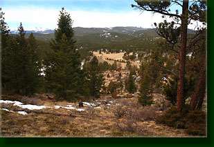
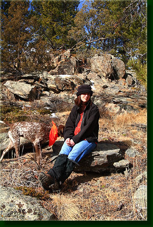
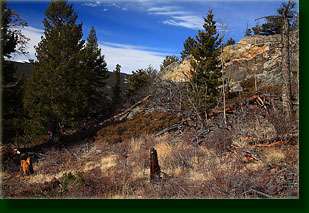
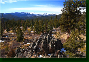
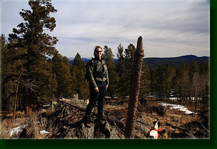
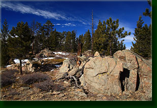
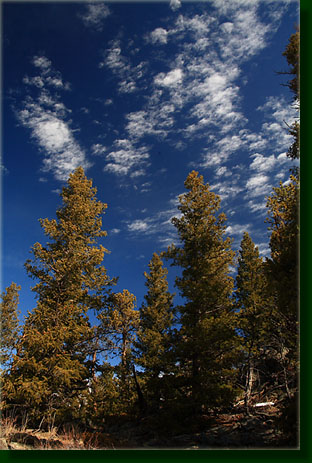
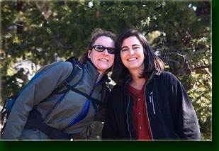
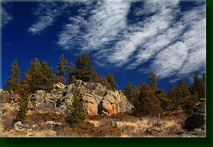
Map: USGS 1:24K Rustic Access: From Ted's Place at the intersection of Hwy 287 and Hwy 14, head west on Hwy 14 25.1 miles, then turn south on the Pingree Park Rd (63E) and drive 6.3 miles to a Forest Road on the left just before crossing the South Fork of the Poudre. If you see the Fish Creek Trailhead, you've gone 1.4 miles too far. Trail: undefined, but easy going through sparse Douglas fir-ponderosa pine forest; ~0.6 miles from road to summit Trailhead: UTM NAD83 zone 13 455837e 4498318n 8,120’ Summit: 456688e 4498740n 8567’ Dogs: no restrictions Weather: Snow Conditions Forecast  February 22, 2009 In March 2003, I climbed up an unnamed peak from Kelly Flats, and from the wide, open summit, enjoyed an almost unobstructed full circle view of the landscape. Sitting in the warm sun with Frank, my most excellent canine hiking bud and Makenzie, my other favorite hiking bud, I picked out peaks in view by sighting with my compass along my plastic Trails Illustrated Poudre Canyon and Cameron Pass maps, laid out side by side. One of the peaks that I remember checking out was Quigley Mt, a small but nearby hump of granite across the Poudre, and I enjoyed the name so much, I determined some day to hike it. That’s not much of a reason to decide to hike a mountain, but then one really doesn’t need much of a reason to do something so enjoyable. But, as anyone who has set any type of goal often discovers, the world is constantly conspiring against you to keep goals unmet. So it was that nearly 6 years passed by before my thoughts finally returned to Quigley Mt during a hike the previous day with Joe and Luke at nearby White Rock. From White Rock and the prominent high point of the Poudre Wilderness just to the north, Quigley Mt is in full view, just waving at you to be hiked. So, the next day, I did. We are driving west on the Poudre Canyon highway under a disappointingly cloudy sky, and I enjoy a cinnamon-crunch bagel with cream cheese while the winds and curves of the canyon road keep my eyes focused on the road. Christine sits in the front seat, and Andra has sacrificed her body to hang out with the paws, claws and complete lack of manners of our two pointers, Henry and Makenzie, in the back seat. We pass through snowy sections of road, but overall it is clear, and we zip along at a good pace to the Pingree Park Rd turnoff, then cruise uphill on the dusty red road to the turnoff for Quigley Mt. We find that we can drive no farther than about 100 yards without plowing through deep snow, or rather snow of unknown depth but suspicious character, and decide to park the car and forgo the ½-mile or so that driving to the end would gain us. The air is warm outside the car, about 50-degrees, in high contrast with the 30-degree air from the bottom of the canyon. The sun has hidden behind a thin layer of stratus clouds, but the wind is calm so the temperature feels pretty nice. I shoulder my pack, Stein does the same, and we head east up the western flank of Quigley Mt, the dogs spanning the ground in front of us, circling back and forth like the advance guard in their bright orange bandanas. We head up the hillside through sparse Douglas fir and the skeletons of old, dead trees, passing jagged rock outcroppings covered with neon green lichen. There seems to be no end of moose pellets around, and Makenzie and Henry take every opportunity to sample the local fare. Dogs…they ought not be allowed in the house with us. Disgusting beasts, but they sure are fun. We head on up, zigging around obstacles as needed, but heading steadily uphill. We reach a promontory surrounded by trees with a little campfire ring off to one side. Andra and Stein ask me if this is it, but I am skeptical, and we decide to keep heading east in search of the true summit. As with my hike the day before, the forested ridgetop makes identification of the actual summit difficult, but I have my GPS with me for once, and thus armed with modern technology, we seek the summit farther on. The sun appears from behind the clouds, lighting the hillside in warm sunshine that draws out the colors of the tawny grass, green conifers and reddish rocks. We hit another potential summit crowned with rocky granite fins, only to see obviously higher ground further up. We reach that point, only to find potentially higher ground further on. We reach that point and actually decide that the point before was the highest. We sit on a bench of flat rocks and enjoy the view to the south and west of the Mummy Range, and I make a meager attempt at pointing out peaks of interest, but ultimately confuse myself about the location of Hagues Peak and give up the effort. It is enough to enjoy the massive snow-covered swells on the horizon without knowing all the names. Makenzie wallows in a nearby snowpatch, eating snow and cooling both sides of her body by alternately flopping her hips from side to side. She is limping on her bad back leg, and though it pains her, I know she would rather do the occasional light hike than be forced to sit at home while we go out to have fun. Henry disappears for awhile, eliciting a small amount of concern, but returns after several minutes of whistling. We head back down the hill, mostly the same way we came up but taking a more northerly course that briefly coincides with narrow road. The sun remains out until about the time we reach the car, at which point it clouds over. The hike to Quigley Mt and back has taken just over an hour for the 1.2-mile round-trip, and so we opt to continue our hiking day at nearby Fish Creek, which I’ve already described elsewhere on this site. The Fish Creek trail has much more snow on it than Quigley Mt, and we enjoy the powdery ice crystals and the dogs enjoy jumping for the snowballs Andra tosses at them. Good times. |
 |
 Comments |