Location:
South of Monterrey, California
Trails: Multiple
flat, well-marked trails interconnect to form a network of hiking possibilities.
All very easy. We walked the Sea Lion Point loop, then to China Cove and
back, a distance of about 2.5 miles.
Access: From
Carmel, drive 3 miles south on Hwy 1 and watch for the entrance sign on
the right.
Maps: A free
trail map is available upon entrance. Area is covered by USGS 1:24K Monterrey,
though trails are not shown.
Fees: $8/car/day
Weather:
Current
and recent conditions Local
Forecast
October 2004
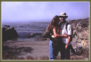
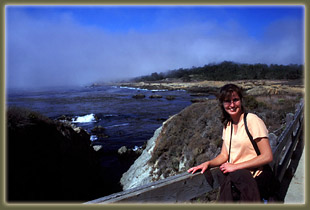
While on our honeymoon along
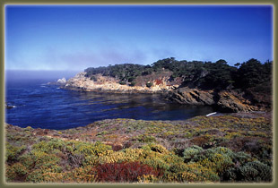
the incomparable central California coast, Andra and I spent several hours
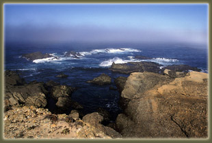
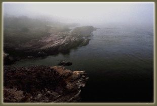
enjoying the rugged rocky ocean front at Point Lobos. We arrived under
extremely foggy conditions, and I was hardly able to see the water from
the trail that lead off from the Sea Lion Point parking area. Nevertheless,
we donned our jackets against the cool October sea breeze, and walked west
along the rocks, enjoying the placid sweep of glossy ocean waves. The fog
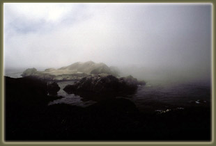
was intense, and beautiful, but it didn't prevent the sonorious barks of
sea lions from reaching our ears. Though we couldn't see them through the
mist, we could hear that they were somewhere nearby, just offshore. The
maps showed a series of rocky islands just beyond the point, and we concluded
there must be dozens hanging out there. The weather seemed to deter most
people from walking out very far, as we were alone on the barren rocky
point looking out to a fog-shrouded ocean. We completed the loop back to
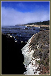
the parking area, then decided to head south along the South Shoreline
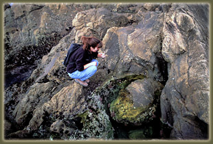
Trail, which lead past more of the same interesting rock-line coast. We
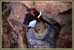
made very slow progress, stopping every 20 feet to examine the martian-like
critters flitting around in the tidepools. Eventually, we made it to China
Cove, where the trail officially ended. We spent some time relaxing in
the warm sun that was slowly emerging from the fog, then walked back to
the car.
Back
Next
|
 |
|
 |
 |


