| Location:
Mt Bierstadt, Evans Peak WIlderness, central Colorado
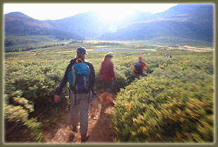
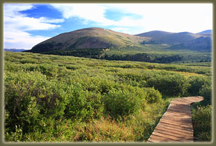
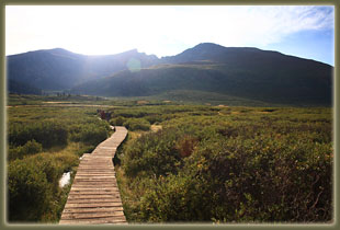
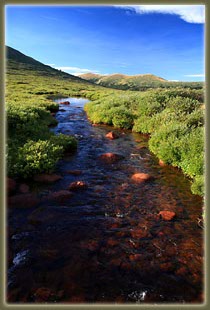
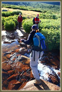
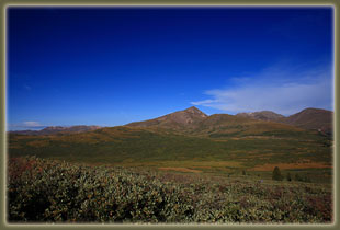
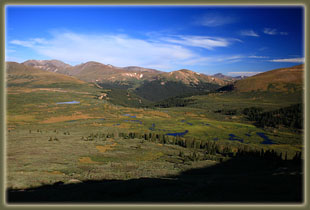
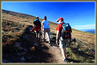
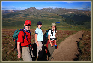
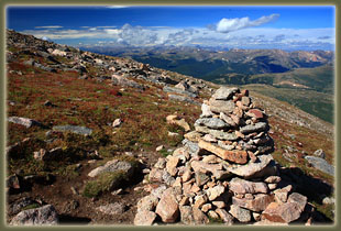
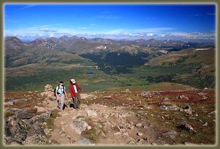
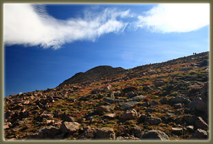
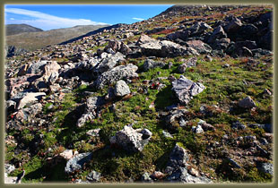
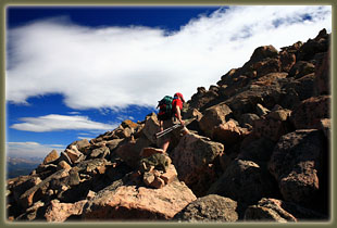
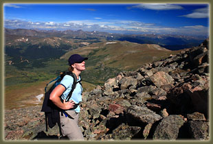
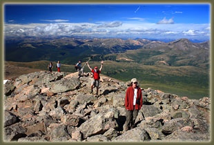
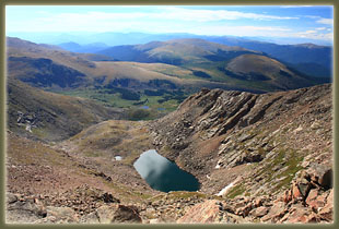
Access: From Denver, head west on I-70 about 45 miles and exit at Georgetown (exit 228). Head through Georgetown, following signs to Guanella Pass Road, and follow it 10.6 miles to Guanella Pass. The parking lot is at Guanella Pass. Maps: USGS 1:24K Mt Evans Trail: 3.5-miles to the summit, well-marked, very-exposed trail, not technical, elevation gain = 2,702' Trailhead: UTM NAD83 zone 13 438936e 4383035n 10,518' Summit: 447482e 4438942n 13,220' Dogs: 6í leash officially, most do not bother with that rule Weather: Snow Info Forecast Webcams: CDOT Georgetown I-70 camera // Georgetown City Cam August 31, 2008 When Mike comes to town, he always has ambitions to hike something crazy high, and in Colorado, that means a 14er. This trip he has recommended Mt Bierstadt because the drive isnít too far from the Front Range. To do it safely, you have to be up to the bald summit and most of the way down before noon, owing to frequent fast-developing thunderstorms. Ever since Andra and I got caught in a thunderstorm above treeline and lived to tell about it, Iíve planned on erring on the early side of that noon deadline. Once youíve felt lightning hit the ground 100 feet away from you, you never screw around with that again. Since we are staying Boulder, this will require us to leave the house by 5:30, drive through the dark and sunrise and hit the trail by 7AM. Well, why not? So we zip up I-70 under a partly-cloudy morning sky, and slowly make our way up to Guanella Pass by a road under heavy construction with several traffic delays. We reach the trailhead much later than we want to, but are walking past the Evans Peak Wilderness sign by 7:45. Mike fills out our permit, and does a little jig on the trail. The first part of the trail traverses a serious wetland with acres of willows and grass poking out of inch-deep water. This would seem almost impossible to get across were it not for the network of wooden boardwalks that carry us high and dry 2 feet above the water. I understand these boardwalks are a relatively recent addition to the trail, and I canít imagine how long it would take to pick a route through this bog. The trail starts above treeline, and continues above treeline, with the summit of Mt Bierstadt in view almost the entire time. The trail is very well defined, and we follow it downhill towards a creek crossing, where a few anxious hops get us to the other side, and we begin climbing uphill through a willow forest. The willows are only 4-5 feet tall, so we can still see all around us, but they are almost impenetrably thick, like English garden hedges, preventing any possibility of cutting the numerous switchbacks. The heads of hikers bob along in opposite directions up each switchback, seemingly floating above the wintergreen leaves of the willows. There are gads of people on the trail, which was expected since it is Labor Day. The trail is visible the entire way up the mountain by way of little dots of brightly colored hiking clothing on the backs of myriad hikers at various stages of ascent. The trail hits an especially steep portion, shaded by a steep wall, and we stop to take a rest on rocks along the trail. A parade of dogs passes us by, led by their proud human companions: poodles, labs, blue heelers, German shepherds, vislas, mutts; all of them very happy. We are dogless today, having left Makenzie back in Boulder since she came up lame after yesterdayís summit of Mt Audubon. If only we could convince her to take it easy on the hikes, but she doesnít hold anything back, and often hurts herself in the process of routine recreation. Sheís a threat to herself. Well, I suppose many humans are too. Above the steep wall, the willows thin out and fall away, and we are on tundra. A frost has given a rosy glow to many of the forbs, and the grasses are yellow and dry. Some wildflowers bloom on steadfastly, but mostly the vegetation of the mountain is shutting down for the winter season. We look back across the route we have come, through the acres of willows, to the parking lot, where I can almost pick out our car. We have come perhaps 2 miles from the trailhead, and the entire route is plainly visible below. I count bodies on the trail behind us: 69. It is a crazy busy day on Mt Bierstadt. We continue on, and the Sawtooth, a beautifully rugged saddle between Bierstadt and Evans, comes into full view. There are descriptions of a route along that saddle, but it seems impossibly steep and jagged to allow safe passage.. We labor on up the slope at a slow pace, conserving energy, and stop for a second break off the trail to eat a good snack. I wolf down some yogurt-covered pretzels and a few handfuls of peanuts mixed with Reeses Pieces, while Andra downs her PBJ sandwich, intended for lunch, but what the heck. We watch a steady stream of hikers pass us on their way up, and even a few heading back down. We shoulder our packs and make the final push. Tundra gives way to boulderfield, and after a steep uphill stretch, the trail briefly levels out near the summit, providing a nice rest for the final ascent. The trail is really congested as we pick our way up one of the 4 or 5 cairned routes to the top. The voices of hikers are all around us, and it feels fairly festive. I might be disgruntled at the utter lack of solitude and failed wilderness experience if I had expected anything different from what is here. Everyone loves to hike tall mountains, and if you want to hit the top of a 14er, expect to have lots of company when doing it, especially on a holiday weekend on the closest 14er to Denver. I imagine that over 400 people will summit Bierstadt by nightfall. I reach the top, and step on the tallest rock just above the peak register. We do not sign the register, but instead are entertained by Mikeís summit dance, complete with Van Halen air guitar jumps. I snap photographs all around, walking down each side of the summit a little to get a shot clear of human backs. After tarrying about 10 minutes, we descend a ways back down the trail, then off the trail, to a small cliff overlooking the steep drop to the valley below, where we stop and have a nice, relaxing lunch. All morning it has been perfectly clear, but large clouds are developing to the north and west, and it feels like time to be getting on down. The hike down is a long slog, though we manage to keep conversation going the entire time. I am feeling particularly well since Iíve eaten lots of salty snacks and consumed lots of water. Over the years Iíve decided that this is the best strategy to avoiding the high-altitude headache, and it works like a charm this time. Mike and Christine fall into a discussion on politics and the upcoming election while Andra and I slip into our standard conversation on puppies weíd like to get. Our family regrettably has an opening for a good hiking dog since we said goodbye to our friend Frank, and naturally we want to fill that opening fairly soon. When youíre used to two dogs in the house, it feels painfully empty with just one around. We cross back over the stream
under a cloudy sky, though it looks like we will escape rain. Back up the
boardwalks we go, past the trailhead and to the car, reaching it at around
1:00. The round trip has taken us about 5 hours and 20 minutes. We shuck
off our hiking boots and snack on chips and chocolate chip cookies for
about 20 minutes until it starts sprinkling, whereupon we hop into the
car, and drive back to Boulder, where we meet Seth and Amy for dinner at
BJís Pizza House downtown, then round out the evening with Mikeís Hard
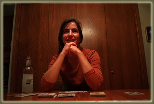
Lemonade and an entertaining card game called Guillotine.
|



 |
 Comments |