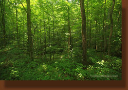
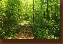
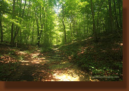
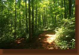
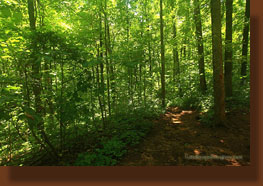
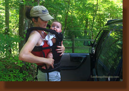
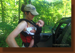
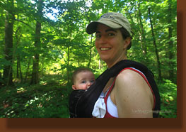
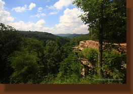
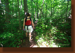
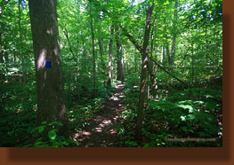
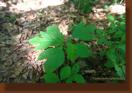
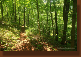
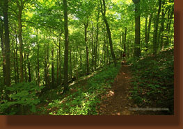
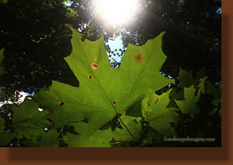
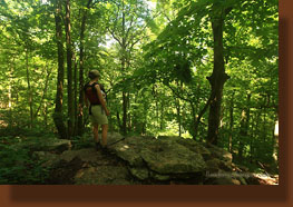
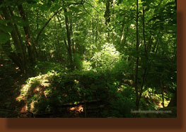
It’s hot in June in the south, but not as hot as in July or August, so we figured if we were going to hike in our neighboring state of Alabama before September, better now than later. Accordingly, I loaded the requisite equipment into the car Saturday evening: backpack, maps, atlas, boots, socks, hat, miscellaneous detritus of a hiking outing and left a cooler by the back door to throw our half-frozen Nalgene bottles in the following morning just before departure. Additionally, and as somewhat new to me, I also laid our a diaper bag, a baby carrier and a mini-fan that runs on AA batteries that we got to keep our little supervisor cool in the heat of a hike. The next morning we got up at 6:30, made PBJ sandwiches, ate cereal, loaded the car and waited for Ada to wake up. You never wake a baby before she wakes up if you know what’s good for you. Once awake and smiling, we shuffled Ada off to the car seat and we were off by 7:30 through an oddly thick fog south through McMinnville and down towards Manchester, Tullahoma (Tennessee’s Rising Star) and all points south. Going through Lynchberg, I noticed that the Jack Daniels distillery is indeed open on Sundays, and every other sign in town also uses the same white font on a black background so as to harken a driver to think as fondly of their humble business as they do of Jack Daniels. I think that’s the plan, anyway. Further along, we passed through Fayatteville (one of the one-thousand eight hundred and two incorporated “villes” in Tennessee) and then we raised our feet as we passed over the border into Alabama, the first time my body has ever been in Alabama, either in car or airplane, something that is becoming a rare first. We cruised down through Huntsville and east onto the mountain towards Monte Sano State Park, and arrived at the parking lot around 10:15, almost 3 hours after leaving home…whew! Not a drive we’ll make every weekend, but it’ll likely be too hot to hike here in another three weeks, so it’s OK. We parked at the hiker’s parking lot and readied Ada, who had been amazingly content throughout the entire drive, for her hike. Only in the low 80’s, the day was a pleasant one, especially given the abundant shade in the parking lot and on the ensuing trail. I studied the trail options on the free park map we got after paying our entrance fee. Lots of options. We began by hiking clockwise on the North Plateau Loop, a route which pasess by the Monte Sano Lodge, a few nice high overlooks of the valleys to the southwest, and a large picnic area with playground before plunging into thick hardwood forest consisting of a nice variety of southern red oak, white oak, tuliptree, hickory, sassafras and an unseemly amount of poison ivy. Don’t even think about off-trail travel if you’ve not got pants on…poison ivy rules this mountain. Some of the poison ivy vines clinging to the trees and ascending up more than 100’ to the treetops were thicker than my arm. Gave me the chills to think about it, and I scratched my arm nervously where a rosy-pocked rash from said weed bothers me still. We cruised along in the shaded forest, enjoying the relative quiet and nice, deep shade on the trail. The sun was shining brightly above, but only dappled shapes of light reached the forest floor, shifting as the breeze swayed the branches high above. We passed by the entrance station and waved to the woman sitting within, then continued on across the road and resumed the trail beyond. Ada, having spent the first 15 minutes looking around wide-eyed and letting out an occasional squawk, had fallen into a deep slumber as we plodded along, and her head bobbed like a bobble head with each step Andra took. We were both hot and sweaty, but the breeze created by walking was motivation enough to keep up the pace. When we reached the road, we looked for the Sinks Trail, walked up the road and reached the drive-in overlook turnaround, indicating that we’d missed the trail somewhere along the way. Not quite ready to head back to the car, and with Ada still content and dozing, we backtracked along the closed road, passing by multiple humongous tuliptrees along the way, and eventually reached the Sinks Trail, quite a bit down the road from where the park map indicated it should be. This secluded trail headed downhill via 4 or 5 switchbacks through more of the same thick forest as before. Though peaceful and shady, we could hear the hum of traffic somewhere far below, along with an occasional fire engine or ambulance siren emanating from the hospital district. We passed by the turnoff for the Logan Point Trail, and continued on the Sinks Trail, observing the flowers in bloom and the varied leaf shapes of the sassafras tree, an odd species that can display three distinct leaf shapes at any given time: simple, bi-lobed and tri-lobed. Despite the muggy, damp trail conditions, there were no mosquitoes at all, which was a pleasant surprise, but as the day wore on past noon it did get pretty warm, even in the shade. Ada awoke and was a bit unhappy about the heat, too. The trail reached a junction with an unmarked trail, but we continued right, following the red blazes, and came to the paved road again, whereupon we crossed the road, hooked up with the South Plateau Loop and returned to the car. Ada was ready to eat, so we had to find a quiet, shady spot to have lunch. Just down the road we parked at the picnic area that we’d hiked through earlier, and pulled out a flannel sheet and our lunch to enjoy under the shade of a forest of southern red oaks. I even managed to nap for about 10 minutes before we piled into the car again, and retreated back to Tennessee, stopping at Starbucks for a caffeine fix to keep us going all the way home. |

 |
