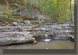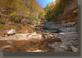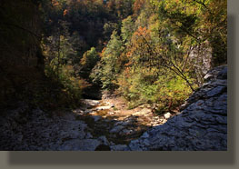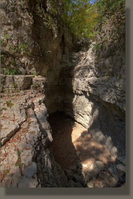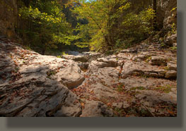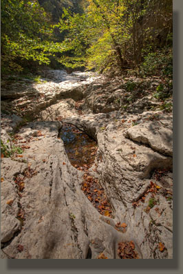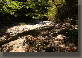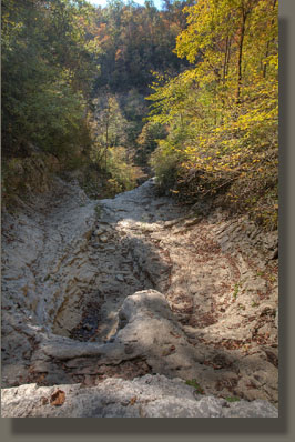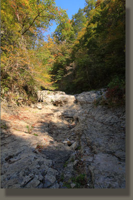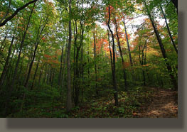
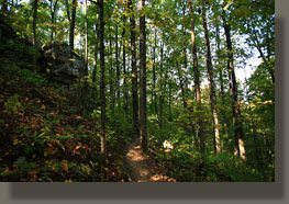
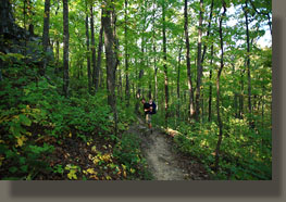
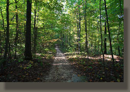
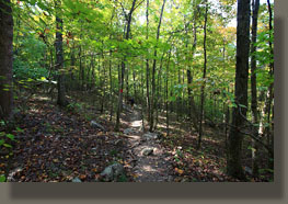
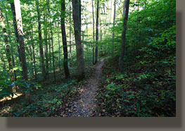
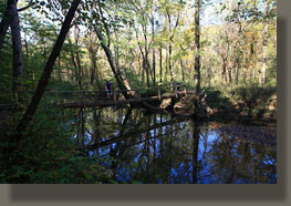
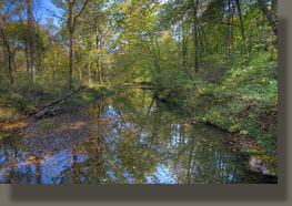
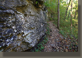
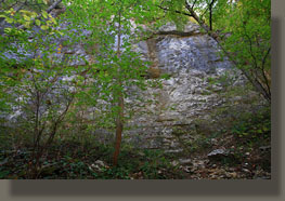
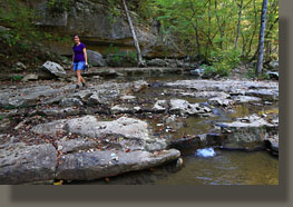
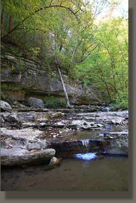
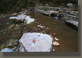
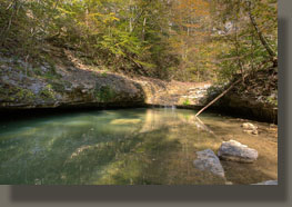
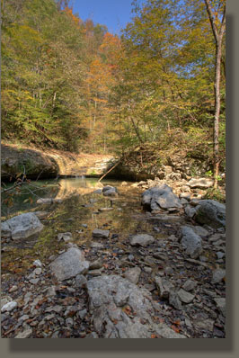
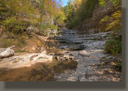
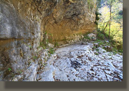
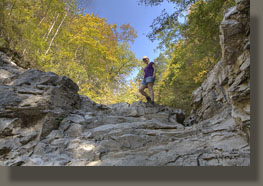
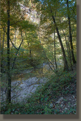
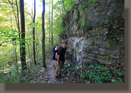
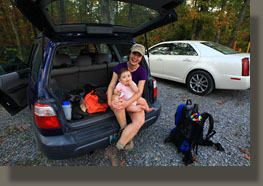
October 11, 2010 Andra and I, plus 8-month old Ada, drove down on a great Monday Columbus Day holiday to enjoy a little cross-border hiking in the Yellowhammer State. We began around 10:30 under a tidy, clean sky with a wonderful fall temp of about 75 degrees. We headed down the trail behind the tin-roofed info board, and were quickly under a canopy of yellowed mulberry leaves that shortly gave way to a much older canopy of oaks and hickories. Much discussion ensued about the various leaf shapes of the red oaks in the forest. There are northern red, southern red, black, scarlet and Nuttall, and all have leaf shapes that vary by textbook, but seem to overlap to a great extent in shape and size, especially when leaves from the lower portion of the tree are compared to the upper portion. In the case of southern red oak, if you hold up leaves from upper and lower canopy, you’d swear they were different trees. We encountered mockernut, pignut and shagbark hickories, the latter being most easily identified by virtue of it’s shaggy silver bark, and the former two most easily distinguished by the thickness of the nut husk, though where many hickories are growing close together, a nut on the ground may be hard to attribute to any particular specimen. Thus we passed away a mile or two, descending steadily through the forest, enjoying the early fall color in the red blackgums and yellowing maples. Reaching Hurricane Creek, we crossed over on a rickety-railed log bridge, then made our way up the obvious trail to Turkey Creek, where we passed by an empty backcountry camping area next to Clark Cemetery, ringed in by barbed wire. I've never seen a better-situated campsite, especially if camping with young, impressionable kids who could get scared out of their minds with just the right campfire stories incorporating yonder cemetary. Makes me chuckle to think on it. Ada was pleasant and mellow the entire time, and fell asleep at some point as we began ascending up Turkey Creek canyon, or what is melodramatically titled the Walls of Jericho. I always feel an urge to throw my voice down an octave when I say that: Walls of Jericho. See, you want to do it too, don't you? Shortly after the cemetery, we reached a fork in the trail, and took the left fork, which turned out to be a good move since the right fork apparently leads to the creek, and confusion (as demonstrated by a lost group of hikers deep in the gorge we passed on our way out). Shortly after the fork, we passed by the largest sycamore tree I’ve ever seen, easily surpassing 100” circumference. in deep shade, the route hugged the southern side of the canyon, gaining elevation above the trickling water in the creek below, and weaving among rocks and tuliptrees until it settled down to a series of rock ledges where water trickled over. Near the head of this feature, the canyon walls were bare and open, leading up several hundred feet to forested benches above. A deep pool of clear green-tinted water spanned the canyon, fed by a small waterfall from above. We stopped and I took off the baby pack, waking Ada up. We drank water and ate cookies by the edge of the pool, then I took only my camera and climbed up a rocky hill to the right of the falls by myself, since it initially appeared to be too tricky to take Ada with me. Above the falls, a large, wide canyon opened up, with an overhanging wall to the east. Fifty meters up-canyon, a sloping dryfall beckoned, and I climbed up the last few feet of rock to a narrower canyon of the same white rock, finely carved and sculpted by rusing water. The falls below were apparently entirely fed by springs, since the canyon above this point was entirely dry. I continued on, following the canyon upstream and uphill until I reached a deep plunge pool with a 30-foot wall beyond that could only be scaled by serious climbers (not me). I turned back, and returned to Andra and Ada, and entertained Ada while Andra checked out the canyon by herself, since the initial falls presented an obstacle one could not safely navigate while wearing a bulky baby carrier. After she returned, we headed on out, passing lots and lots of hikers along the way, ending up at the car at 2:00. The hike was pleasant, and not much like any other hike on the Cumberland Plateau. The real treat was the final few hundred meters of the canyon, where the deep white rock narrowed to a slender gorge of sinuously carved rock, forming a feature unique, in my experience, to the Cumberland Plateau. |
 |
