Location: Laurel-Snow
Pocket Wilderness, near Dayton, TN
December 19, 2010 At 10:15, when I finally got started on the trail, it was about 30 degrees. Brisk, yes, but very crisp and clear on this bright, sunny morning. The sun shone at a very low angle in the sky, getting lowest in just 2 days before rising up again toward spring (looking forward to that). I threw my jacket in my pack, along with some snacks, and kicked myself for forgetting a water bottle. I briefly considered driving into town to get one, but within seconds dismissed the thought. I do keep a spare 2L bottle of water in the trunk, but it was a frozen brick, so that was no help. Good thing it was not hot out. The first leg of the trail follows a wide graded path, what seems to be an old railroad bed, judging by the occasional cross timbers. The rushing waters of Richland Creek, glowing emerald green in the white sunlight of early morning, frothed and smacked the giant grey boulders in the streambed, tumbling over drops with short waterfalls, backed up into deep, clear pools behind ledges of limestone, and chafing the shoreline with an audible rasp as the rock is worn away, molecule by invisible molecule. I was really taken with Richland Creek, and after hiking all the way up to Laurel Falls and back, I remain committed that this section of the trail is the most scenic and enjoyable. Passed by a mine, which was not just a hole in the rock, but a storybook mine with an arched door and quarried rock facing, resembling not so much an abandoned mine, but an entrance to an abode. Light did not penetrate far enough within to see much, except a black tunnel disappearing into more of the same. Further evidence of mining history: rock walls lining the creek; concrete abutments in the creek channel, perhaps formerly supporting a wooden bridge; twelve-inch clay pipe paralleling the stream; scrap iron stabbed into the hillside at intervals; graded causeways coursing off the main trail into the hillside at regular intervals. Must have been a going concern. All is quiet now. I found the sunlight most invigorating after a solid week of clouds and drizzle, and walked quickly on the gentle grade. Before an hour was up, I was across the steel bridge over Laurel Creek and choosing the Laurel Falls branch, bypassing the Snow Falls trail which heads to the south. Up several switchbacks through dense, towering oaks and tuliptrees, their branches denuded and bare, I sweated a bit on the uphill, removing my hat and gloves before I reached the falls, which announced itself from some distance by a high-pitched roar. Laurel Falls is about 60 feet tall by my judgement, though it was hard to get a close examination of it since all the surrounding rocks and logs in the shaded canyon below the falls were coated with ice, making it impossible to climb about and get a good look beyond the trail access. Water flowed in abundance over the precipice, landing in a jumble of ice at the bottom, and sluicing out through massive boulders beyond. Quite a sight. Retreating a bit, I took the trail on up towards the cliffs to the west, topping out on top of the plateau, and following the white blazes on east to the top of the Laurel Falls, and then fording the shallow waters of Laurel Creek to continue on the trail beyond, which rose up steadily to a nice overlook point to the southeast of the falls. From the overlook, the entire Henderson Creek Gulf is visible, as are the high-voltage transmission lines that span it. The map shows that the trail to Snow Falls crosses the plateau just around the power lines, and though the area is clearly visible, the trail is not. Itís about this time that I first notice that familiar throbbing in my left heel that first began plaguing my hiking efforts nearly 3 years ago. Achilles tendonitis. Very painful. I adjusted the lacings on my boot to take pressure off the heel, which helped a bit, and walked on the outside edge of my foot, which helped much more, though was not sustainable for very long. Though Snow Falls was calling to me, when I reached the trail fork, I reluctantly decided to save that branch for another day. (Will that day come? I donít know.) Back to the car I went, enjoying
the energetic waters of Richland Creek the whole way.
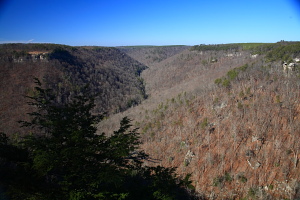
Looking west from the lookout above Laurel Falls 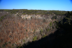
View from the Laurel Falls Overlook 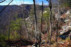
Trail from the plateau down to Laurel Falls 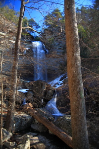
Laurel Falls 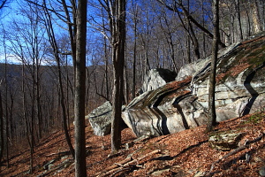
Cliffs to the west of Laurel Falls 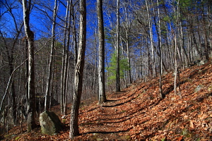
Trail just up the hill from Laurel Falls 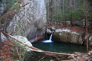
Small waterfall on Laurel Creek 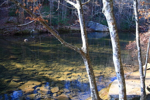
Dayton Reservoir is very shallow after years of silt and rock accumulation behind the dam |
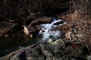
Richland Creek near the beginning of the trail 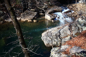
Richland Creek 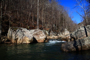
Richland Creek 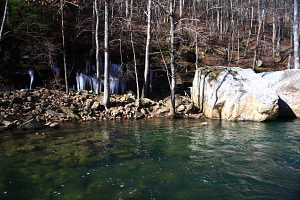
Green waters of Richland Creek 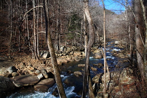
Richland Creek 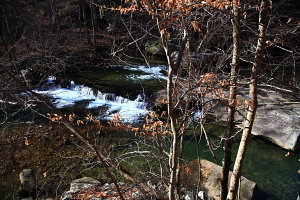
Richland Creek 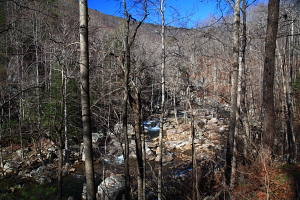
Richland Creek 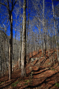
Laurel Falls Trail 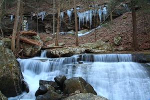
Cascade on Laurel Creek 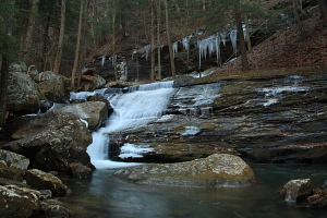
Laurel Creek 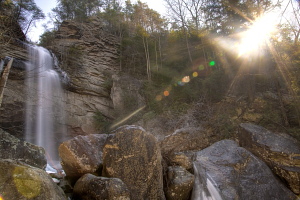
Laurel Falls 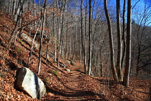
Trail along Richland Creek 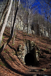
Mine near the trailhead along Richland Creek |
