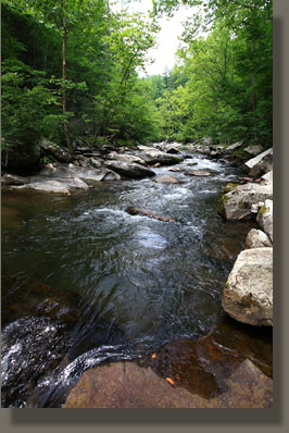
| Meigs Creek
Location: Great Smoky
Mts National Park, TN
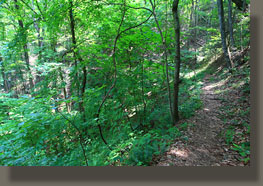
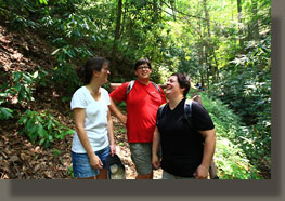
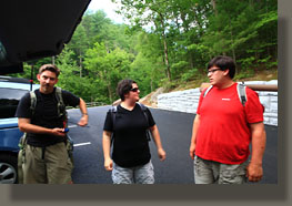
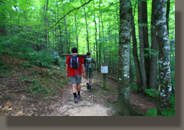
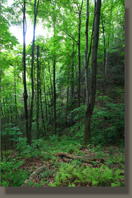
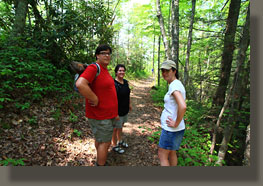
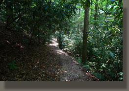
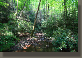
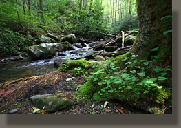
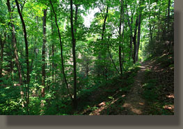
July 4, 2010 My advice to hikers, unconditionally, is to avoid the Sevierville-Pigeon Forge-Gatlinburg route into the Smokies, if you can. The combined commercialization of these areas is the antithesis of the natural beauty inside the park, and the traffic, billboards and unabashed materialism you must drive through to get into the park will likely leave you feeling dirty, perhaps violated. It’s just what I’m feeling as I pilot our car through the wide boulevards of Sevierville, thick with cars and pedestrians, the curbs lined with classic car shows, craft booths and fast food outlets, what some call “local color”. Wax museums, barbecue joints under a thousand folksy names, “rustic” hotels and lodges, family diners, rock shops, souvenier (junk) shops, t-shirt shops, ice cream shops and fudge outlets provide the backdrop, all linked together with power lines and ranks upon ranks of giant billboards, many of them with flashing lights or revolving marquees. A replica of the Titanic looms on the side of the road, with hundreds of tourists flanking it, taking pictures. I yearn to be clear of the city, and grip the steering wheel tighter. After an hour or two (seems like days) we are. So goes my first, and absolutely last ever, trip through Sevierville. We find our planned stop at the Meigs Creek TH, which is made much more popular by the Little River Sinks, where the Little River dives underground, into the limestone bedrock, only to reappear downstream. It’s a neat trick, and it gets lots of attention. In the crammed parking lot, we are very lucky to find a parking spot. We get our stuff together next to the car. Mike is scanning the water upstream for likely fishing spots, seeing only wet bodies swimming in the river. Such obstacles make fly fishing difficult, though not impossible, if you’re willing to get dirty looks. We pass by the cave in the ground that swallows the river, and head on up the path to the trailhead, which is signed, and which seems to provide a very quick escape from the large crowd decorating the shores of the river channel. Initially, the route passes through a low-lying area with ferns and moss, then climbs steadily up a shaded, moist section populated by mountain laurel before stretching up into the higher territory of them mountain and achieving its dominant character. Here the trail is lined with oaks, tuliptrees, hickories and other cohorts of eastern deciduous forests. Many of the tuliptrees are massively tall. It’s shady in the woods, but still hot and humid, and we’re all quickly sweating down our faces, while sweat darkens our shirts. We trod along, looking for the creek, for we are attempting to find suitable fishing waters. No creek to be seen, but the map does indicate that the trail won’t intersect the creek for a mile at least, so we continue on, and up. The trail levels off on a
ridgetop with plenty of Virginia pine, sassafras and sourwood on it, the
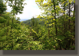
usual suspects of the dry, upland, rocky ridges. We get a view of more
green, rolling ridges to the south, but only briefly. A hundred more yards
on and we are descending the slope of the ridge on the south side, heading
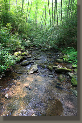
towards Meigs Creek. We reach it. The creek is about a foot wide, inches
deep, almost dry in places. There will be no fishing here. As the principle
goal of this foray east to the Smokies was to fish, we decide to head back
to the Little River, and seek out fishing spots along its busy shores.
 |
|
