Lackawanna Peak
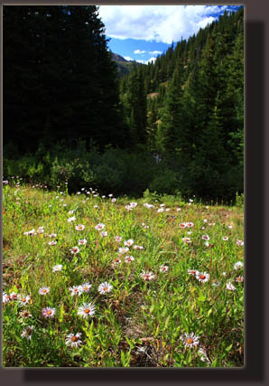
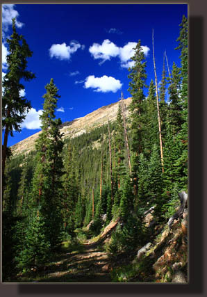
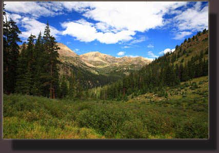
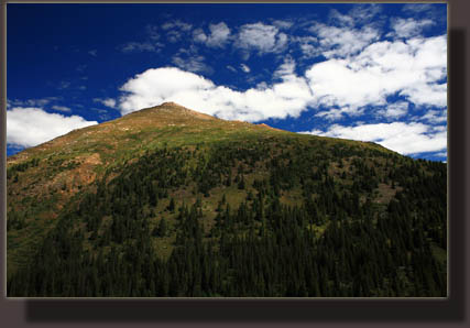
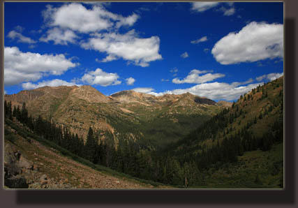
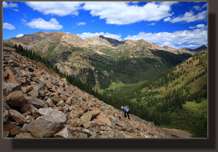
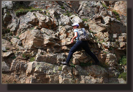
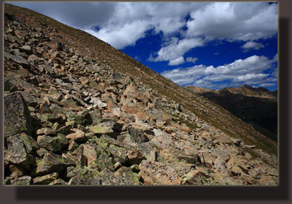
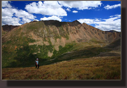
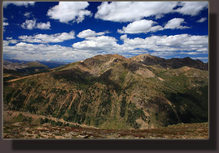
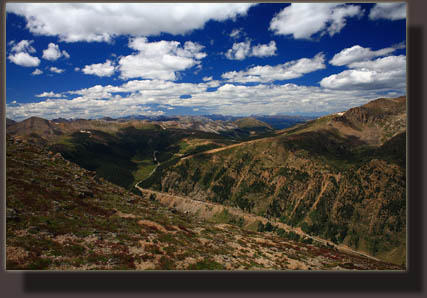
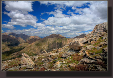
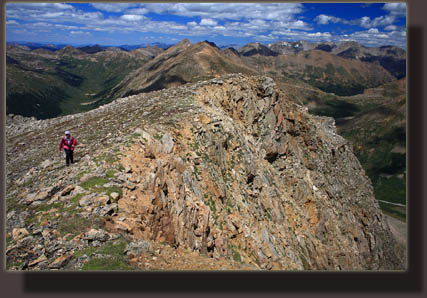
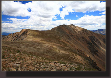
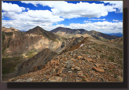
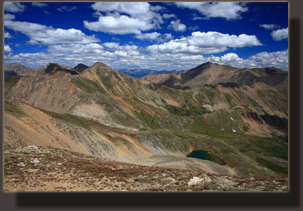
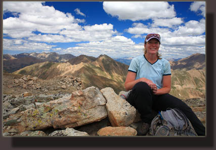
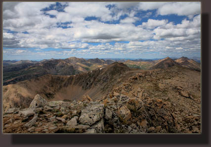
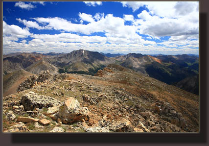
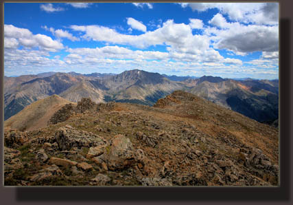
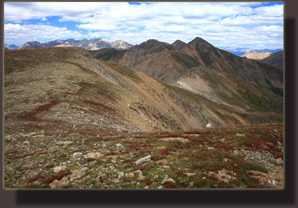
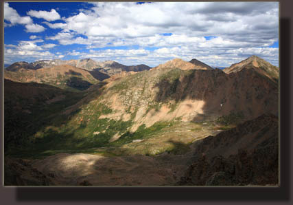
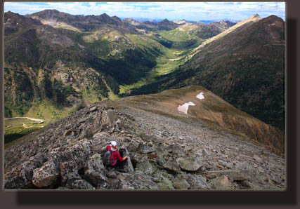
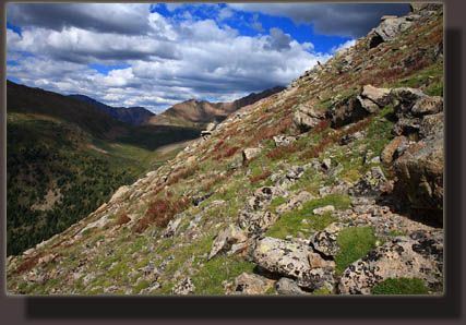
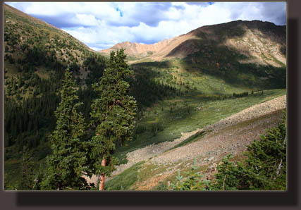
August 21, 2010 Christine and I hit the parking lot near the first switchback up Independence Pass around 10 AM. It was a later than desired start, but it’s an awfully long drive from Loveland. Nevertheless, the weather seemed pristine, and the few clouds in the air above were small and flat, showing no propensity towards building into ugly thunderstorms that might chase us off the high peaks anytime soon. I pushed on my boots and slid into my daypack, and we were off. We had only chosen to climb Lackawanna the evening before while browsing through hiking books at Jax in Loveland, coming upon Gerry Roach’s 13ers book. We were in Leadville to try to catch up with Mike, who was running the Leadville 100. As we began our hike, Mike had already been running for 6 hours. While the lure of nearby 14ers such as Sherman called, we decided to opt for the less-crowded 13er option, an option I’ve become increasingly fond of. Initially we hooked up with a path that led north along a creek for 1000 ft, then crossed over to the other side and tied in with an old logging road that switchbacked up the slope to the east through giant spruce trees, mixed with fir and aspen. Massive stumps attested to the champion tree-growing environment here at 11,000 ft. We took one wrong turn, and even in retrospect it’s easy to miss: watch for a stone cairn at a switchback heading to the right (south), and immediately look for two cairns on the left (east) leading into the trees. This is where a small footpath leaves the old road. The footpath led through more fir trees and dark, shady pockets of old growth spruce to a couple of dilapidated cabins. We continued on past the cabins and followed a footpath beyond up the hill and out of the trees at 11, 450’ into a large boulderfield that stretched up the north flank of Lackawanna Peak. Initially, we stayed below the boulderfield by following the creek, but the enormous effort required to plow through the dense willows quickly had us out on the rocks, scrambling upwards with tedious concentration on every footstep. At this point, there were no signs of any trails, so we continued in a southeasterly direction up the mountain, scooting up a particularly steep chute full of tallus and loose soil to get to the flatter alpine slopes at 12, 700’. From there, we could see what we thought was Lackawanna Pk, and headed up the steep, but stable, alpine tundra towards the peak. Around 13,300’ we encountered more boulder field, and slowed down again to ensure no injuries. As we approached the summit, we were awed by the dramatic dropoff to the north of this peak, with over 1000’ loss in less than 1/3 mile down a rocky, tallus-strewn slope. At the summit, we discovered that we had not actually made it to Lackawanna Pk, yet, but instead a soft-ranked peak ½ mile northwest of the true summit. It was getting later in the day, but the weather was still suitable for hiking since the numerous clouds showed no signs of building into storms. We considered Mike, and our desire to catch him at as many aid stations as possible during the race, which meant that we really should head back as soon as possible. Given that the summit was so close, and the weather so wonderful, we decided Mike would approve of only once action, and that was to go ahead with the summit. We dropped down to the saddle between the two peaks, getting a fine view of the small lake and cirque to the south, and made our way quickly up the gentle slope towards the summit. We passed over several false summits before finally making it to the small rocky outcrop at the very top. We paused to have a snack, enjoy the incredible high of standing at nearly 14,000’, and then set off towards the car. We decided to try to follow the “easiest” route down detailed in Roach’s book and veered far to the west of our ascent route, eventually coming to an extremely steep, but stable, west-face option that lead us down slowly to an open, flat alpine field notable because of a huge pile of boulders on the western edge. From there, we skipped down through boulders and grass into the trees. We picked up a game trail that seems to have been used a few times by humans since we noted a few scattered cairns, but we lost this again and made our own descent towards the sound of rushing water, coming out just upstream of the cabins. As we passed by the cabins on our return, we noted a cairn to the south of the second cabin, which is presumably where one could pick up the trail to get up through the trees and avoid the boulderfield that we went through. In retrospect, there’s really no great route to get to the top, so it’s best to just get up anyway that looks feasible….more fun that way, too. Roach’s description of certain routes didn’t quite jive with what we encountered, so we ended up putting the book away and finding our own routes, which was no problem at all. From the cabins, it was easy to follow the footpath and the road back to the car, which we reached at the late hour of 5:00. We scrambled to get to the Winfield aid station in time to catch Mike as he ran by, but missed him by a matter of minutes. The remainder of the night was spent in a “Where’s Weigand?” game of driving to aid stations and waiting around. We caught up with him only at the Fish Hatchery, missed him by minutes at May Queen, but were there at the finish line the following morning at 7:30 to see him run across. I can’t imagine running 100 miles through the mountains, so good on Mike for finishing the thing. |
 |
