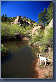
| Location: Pike National Forest, west of Monument, Colorado
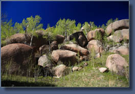
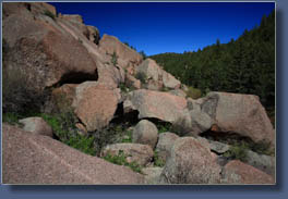
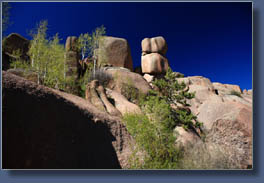
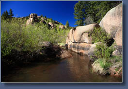
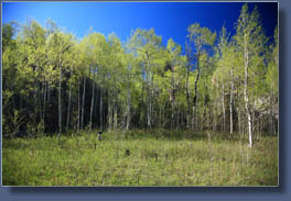
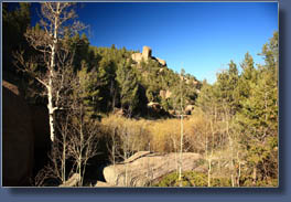
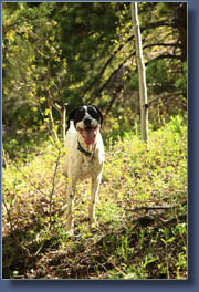
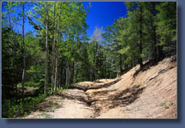
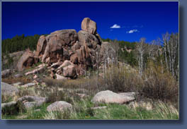
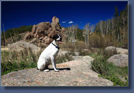
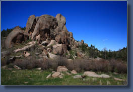
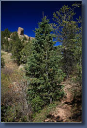
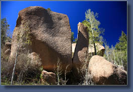
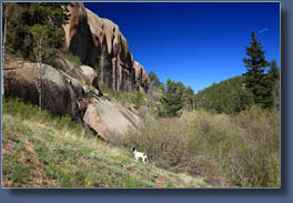
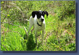
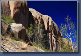
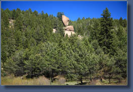
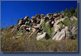
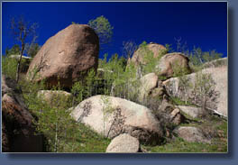
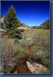
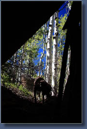
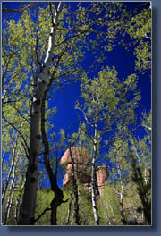
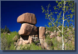
Access: From Woodland Park on Hwy 24, take Baldwin St north (it becomes Rampart Range Rd) for 2.7 miles to a fork in the road. Take the left fork going towards Monument for 1.2 miles and it will empty you out onto Forest Road 300 (some maps show this as Rampart Range Rd, too). Go north on FR 300 for 2.6 miles, then east on FR 320 (Herman Mt Rd) for 2.1 miles to a left turn into a quick Road Closed sign on a heavy iron gate. Park here. You can also reach this point from the east by taking the Herman Mt Rd out of Monument for ~10 miles. Trail: Cross the gate, and follow the eroded road downhill about 3/4 mile to Limbaugh Creek. Turn east and follow a path on the north side of the creek. Some bushwhacking in willows is required, and the trail sometimes disappears. As the canyon narrows, youíll have to switch to the south bank and follow any route you can through the thick forest. After 2 miles on the creek, you reach a series of beaver dams and presumably you can continue all the way to the eastern TH, though I did not. Even to this point, there is little or no trail to speak of. Elevation change from car park to beaver ponds is 9200í to 8600í, a loss of 600í. Trailhead: NAD83 zone 13 500723e 4323145n Elev: 9210' Map: USGS 7.5í Quad: Palmer Lake Dogs: No posted regulations Fees: None Webcam: Woodland Park Webcam Weather: National Weather Service Point Forecast NOAA Snow Conditions June 6, 2008 Frank and Makenzie, two enthusiastic pointers, accompanied me on this hike. We got a later start, about 3:00, but the afternoon was clear and warm, and golden light streamed through the pines along the road. Makenzie found a tennis ball within moments of leaving the car, and carried it with her as we set out. We began at a locked gate across an old logging road just off of FR 320. The road was rutted and washed out, and would be hard to drive down even without the gate or the large pine tree that has fallen across it. A couple of bike tracks snaked along in the dry soil of the road, but no footprints. The road led downhill to Monument Creek, which was lined with willows and aspen. Above the riparian area, primarily on the north bank, sat dozens of granite chunks, sculpted by wind and water into a gallery of smooth, rounded blocks. After crossing the creek, we walked along a faint path on the south shore that skirted the riparian area and stayed mostly in the trees. Spruce limbs and pine branches blocked the trail at frequent intervals, and it was tough going. After a few hundred yards, I decided to cross through the thick willows in the creek bottom, hop the creek, and check out the north shore. Vegetation was much more open, with large stretches of open grassland. A more developed path wound around the infrequent boulders and willows, and provided a pretty nice stretch of walking. Frank and Makenzie, energized by the water in the creek, trotted up ahead of me, sniffing and wagging tails. Hiking with the dogs is always entertaining. We reached a point where the canyon narrowed, and we had to hike uphill to get around obstacles, or else wade in the creek. The latter is certainly possible, but I chose to take the high road. Above, we came out on top of some large granite globs with aspen all around. I found a garter snake coiled up in the leaves. His eyes were cloudy as if he was about to shed his skin. After a moment, he noticed me and slithered off into a crack in the rock. We continued on, staying above the big boulders in the creek bottom, but eventually came to a point that was practically impossible to pass, so dense were the large boulders. So, we backtracked a bit, dropped into the stream, and crossed to the south side. There, a faint path provided a relatively easy route further downstream through pine, spruce and aspen. This stretch was very enjoyable, especially because of the increasingly interesting rock formations on the north shore. Eventually we reached a series of beaver ponds, and both dogs spent about 15 minutes slogging around the ponds, sniffing, wagging tails, and swimming after sticks (or balls) I threw into the water. As the afternoon was winding down, I determined to head back, though the route downstream was still open. The hike back seemed much shorter than the hike in, perhaps because I stopped less frequently to take pictures, and because I wasnít trying to constantly judge the best route downstream. I was impressed that the dogs knew exactly where to go on the way back. The path was extremely faint for most of the way, and often our route had followed no path at all. Didnít matter, the dogs retraced our steps unerringly, even getting it right when I took a slightly different route around a rock formation. Makenzie held onto her ball to the very end, but dropped it just before jumping into the car. The entire trip took about 3 hours. The Trails Illustrated map of the area shows a trail leading upstream through the canyon from Monument, but I never encountered anything like an official trail. I think the hike up from Monument would be very pleasant, and if I have time, Iíll try it someday. Probably never, there are just too many new places to hike.
|
 |
