

| Location:
Mt Zirkel Wilderness, west of Walden, CO
Access: From the gas stations in Walden, drive 0.6 miles south on Highway 14 to CR 12W, and turn right. There is a sign reading LAKE JOHN at this turn. Stay on 12W west for 11.6 miles, until it reaches the North Fork Ranch. Turn left on CR 16 (gravel) and follow it through Lone Pine Ranch 7.8 miles until it dead-ends at the Lake Katherine TH. Road is fine for passenger cars. Trailhead: NAD83 zone 13 363989e 4512108n Elevation: 8960' Trail: Mellow forest hike, trail probably usually wet and muddy. 1.3 miles to fork in the trail. From there, it’s just under a mile to Lake Katherine via the left fork, and about 2 miles to Bighorn Lake via the right fork. Elevation gain to Lake Katherine is 859 ft. Maps: The route crosses several maps. USGS 1:24K quads: Boetcher Lake, Mt Ethel, Mt Zirkel, Pitchpine Mt. Or use the National Geographic Trails Illustrated 1:40K #116 and #117. Fees: None Dogs: Voice control Webcam: Steamboat Springs, 15 miles to the southwest Weather: Current and recent conditions from the NOAA website Check the local forecast at the National Weather Service September 22, 2007
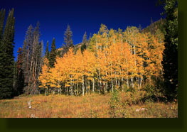
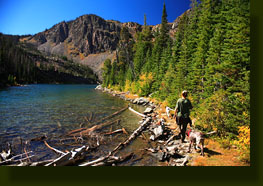
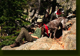
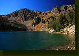
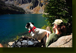
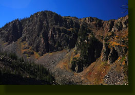
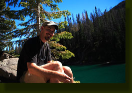
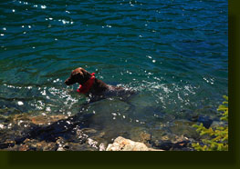
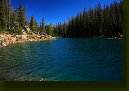
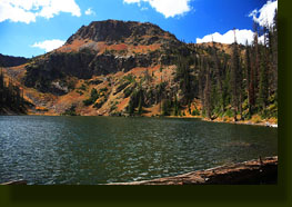
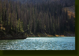
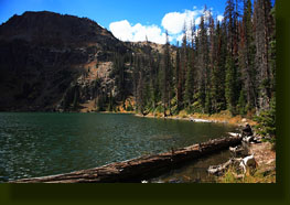
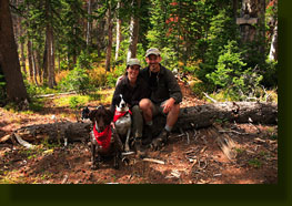
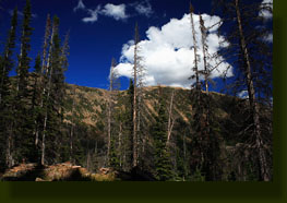
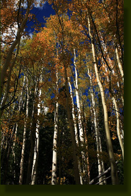
At 10:30, we began the hike at around 9,000 ft along Lone Pine Creek through a menagerie of cottonwood, aspen, lodgepole pine and Douglas fir. The trail was wet and muddy, even after summer, so I can only imagine what a quagmire it could be in the spring. Sections of the trail were planked with a boardwalk to prevent resource damage, but other sections that could’ve used such treatment did not have it, and we were forced to pick our way through a bog of mud on the firmest footing available. Frank and Makenzie had no worries about the mud, and happily ran up to their bellies in the muck. In fact, I believe they rather enjoyed it. The temperature was around 65 degrees, and all the woods reflected the changing season. Aspen positively glowed yellow under the orange-tinged fall sunshine, setting off the electric blue sky behind them. Dry yellow and red grasses rustled with each passing breath of wind, and the columbines and asters, though their flowers were spent, lent a burst of yellow color under the trees. Geranium leaves sported mottled patterns of green and red, while the fireweed stood out from it all in a bright red. Some sort of sumac tree offered a vermillion hue in the open, sunny spaces. All of these colors were of course intensified by the dark green firs in the forest. As I’ve mentioned before in some of the other Zirkel hike logs, the pine beetle and spruce bud worm have combined to create a conifer die-off of biblical proportions in the area. Well over 50% of the conifers in the Zirkel Wilderness are already dead, by my estimation. On the trail to Lake Katherine, in the 9000-10,000 ft range, most of the dead trees are spruces, but there were many dead and dying lodgepole pines as well. The green forest looks more gray, and aside from the odd young spruce that has managed to stave off the beetles because of youthful vigor, the only green trees left in the high vales are subalpine firs, whose prodigous sap production keeps the marauding beetles from penetrating the bark. All of this we took in as we walked through the merry woods, drenched in sunshine, on the slightly uphill path until we reached a fork in the trail about 1.3 miles from the trailhead. We took the left fork (Trail 1157) and followed it up a steeper grade and along several switchbacks until we came to a nice overlook of the outflow channel from Lake Katherine. A deep rock canyon holds the water in place as it courses down the steep hill. Just a short bit on up, we came to a rock and concrete dam that someone had built long ago, which has since been destroyed by the pent-up weight of the lake’s water. A gaping hole in the structure hints at a violent surge of water coursing down the canyon below. On this day, the lake’s level was nowhere near the dam, and we walked perhaps 70 more yards to Lake Katherine’s northeastern shore, making the hike from the TH to the lake about an hour. Lake Katherine, like many lakes in the Zirkel Wilderness, it very large and seemingly very deep. The greenish glacial color of the water near shore gave way to deep marine blue in the center, hinting at great, cold depths (and large trout, I’m sure). On the far side of the lake, the cirque wall rises 1200 ft. A thin line of conifers topped the cirque, giving way lower down to fractured, rocky cliff faces and lower still to an immense talus slide that sloped into the west and south sides of the lake. We followed the north shore, a feat made easy by the lower lake level which allowed us to walk along rocks that were ordinarily submerged, to a natural outcropping at a bend in the lake shore. Here we sat and enjoyed throwing objects into the water for the dogs to fetch. Frank would only consent to getting his feet wet, but Makenzie enthusiastically dove completely underwater in search of a rock. After hanging out at this sunny spot for half an hour and snacking, we continued along the shore a little ways until the way was blocked by water on the lowroad and trees on the highroad. Of course, one could continue along the shore with a little more effort and bushwhacking, but I wasn’t dying to get around the lake, so we turned back and made our way along the lake shore back to the outlet and the trail. The walk down the trail to the confluence of Lone Pine Creek with the outflow from Lake Katherine took only about 20 minutes, and we turned left at the fork in the trail to go up towards Big Horn Lake. The trail to Big Horn Lake was not quite as well-kept, yet still pleasant walking. Like the branch trail to Lake Katherine, the trail got increasingly steep as it approached the lake. We stopped along the stream for about 20 minutes while Andra waded and cooled off her feet. I threw rocks into the current for Makenzie to chase…always entertaining. After a particularly steep section, the trail leveled off and a small pond along the trail preceded the lake shore by about 100 yards. As Big Horn Lake was a little under 2 miles from the fork in the trail, we reached it in about an hour. Not surprisingly, it looked very much like Lake Katherine, though smaller and less grand. The cirque in which it lay was not quite as imposing, and the lake was not quite as long. Beautiful as it was, the forest around the lake was more stricken with beetle-kill than the woods around Lake Katherine, and I got a dreary feeling looking at the ranks of dead trees on the eastern bank. The depths of the woods looked dark, and I had no desire whatsoever to go stand among the dead trees in the dark slopes. Instead, we stayed pretty much at the lake outlet, and after enjoying the sounds of the waves lapping on the driftwood piled up at the north shore, we both lay down in the sunshine and took a 15-minute nap. Makenzie was not interested in this activity, and did her best to make lots of noise and commotion to make napping difficult. At 2:15, with the first afternoon clouds rolling in, we started back down the trail. The morning breezes had given way to a silent stillness where not even the aspen leaves were rustling. The air was just dead still. Makenzie carried a stick along with her and at intervals one of us would wrest it from her jaws and throw it back along the trail to give her extra entertainment, and to wear her out so she would sleep soundly in the car on the way home. The afternoon light took on even more reddish hue, and I tried to soak in the wonderful fall colors with each step. How can there possibly be a war taking place on such a day as this? We reached the car at 3:45 and began to drive out. The county road was just as beautiful as the trail, as it was lined with aspen in full fall regalia. |

|


Comments |