June Lake
& Loowit Trail
August 26, 2009
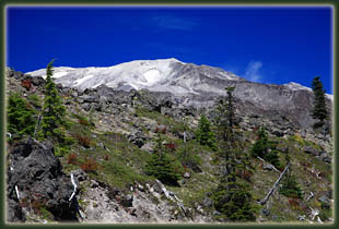
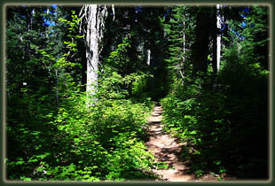
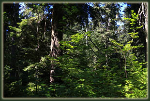
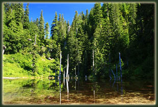
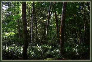
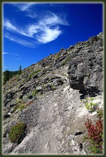
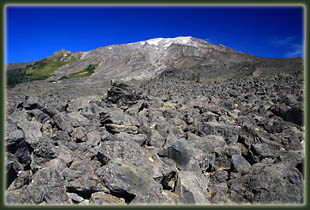
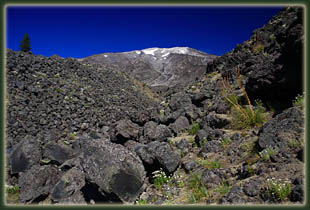
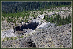
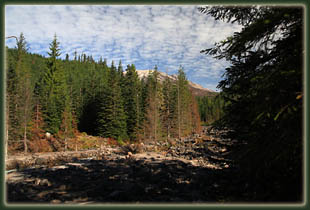
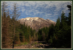
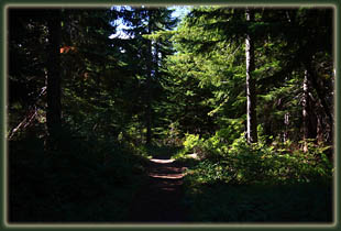
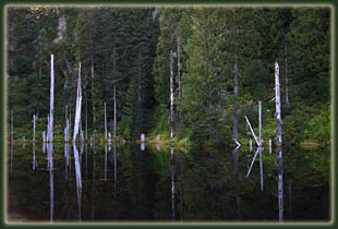
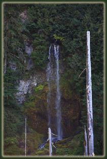
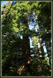
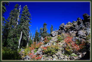
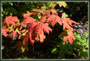
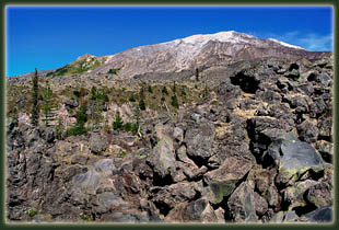
The shaded trail kept things pretty chilly to begin with, and much of the vegetation was already hinting at fall color, but we warmed up as we hiked. Within minutes we were walking along a rocky creek bed with a wide channel that allowed a clear view of the south side of Mt St Helens. Andra and I had visited this mountain before in 2006, but on a day so overcast and foggy that at the north-side visitor center, there was no sign of the mountain. Thus, this was our fist glimpse of the famous volcano. We kept things moving at a keep-the-chill-off pace until I noticed that the shrubs lining the trail were blueberry bushes, and I slowed considerably to take advantage of the free snacks. I can never pass up wild berries, and the Pacific Northwest is undoubtedly the most generous in this regard. In 45 minutes, we reached June Lake, a very shallow pool of water at the base of cliff that seems to have been formed by volcanic debris blocking a stream in the recent past. The clues for this are the young age of the willows on the eastern shore, the abundance of volcanic ash and lack of ground-covering vegetation and the numerous dead tree trunks rising up from the water near the eastern edge of the pond. A large waterfall drops into the lake from the eastern side, but as the sun was also from the east while we were there, it was difficult to see the falls very well. A couple of campers were drying out their gear as we passed, and as we saw further along, this is one of the last spots where one could find flat ground to pitch a tent on. The area west of the lake is just a large open area of volcanic ash, and the trail is very difficult to follow. We initially took a wrong turn to the east before finding the correct route into the old-growth forest just north of the lake. The forest entry is marked by many rocks in the ash, but is still relatively unobtrusive. Finding the trail, we continued north for a little longer up a steep hill through lush forest to the junction with the Loowit Trail. We could’ve gone either east or west at that point, the Loowit Trail being a continuous loop that circles Mt St Helens, and for no particular reason we chose to hike west with no particular destination in mind other than to get above treeline for a nice look at the mountain slopes above. This we soon accomplished as the Loowit Trail seems to spend most of its time above the trees in the vast volcanic lava field that flanks all sides of the mountain. The trail itself was simply a route over sharp, rough volcanic boulders indicated faintly by signs of foot traffic, and occasionally by white pilons. Some cairns marked the way, though the official route may be no better than any improvised route heading in the same direction. There was almost no vegetation above the treeline, with only a few short cushion forbs eking out a living in pockets of ash between the rocks and the even rarer conifers growing up in ravines. The views up to the summit of Mt St Helens were unobstructed, and one could see the barren, lava rock-littered slopes all the way up to the snow-dusted crater rim. We made slow progress along the trail, and by 12:45 we had traveled only 1.2 miles beyond June Lake. We reached a high point along the trail and saw that the route ahead stretched out in plain site, and that it offered more of the same, so we made no effort to continue farther. We sat and ate some snacks, took pictures and Andra took a bee-sting to the behind. At least we now know for certain she is not allergic to bee stings. We followed our route back down exactly, arriving at our car in an empty parking lot around 2:00. |
|
