| November 2001
Iron Mountain is located in the rugged
area of Cameron Pass, in the Never Summer Range north of Rocky Mountain
National Park. There are so many places up here to visit, and all of them
so close together, that one can hardly place them all in separate accounts,
that being done here only because they were not all visited on the same
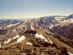
day. From the top of Iron Mountain and surrounding grades one can look
northwest to see the Diamond Peaks, north into the Rawah Wilderness, west
to see the Nokhu Crags and American Lakes, south into Rocky Mountain National
Park and the Never Summer Range stretching off into the hazy horizon and
east over two of Roosevelt National Forest's three wilderness areas.
Andra, Frank and I began the hike
at the parking lot located at Cameron Pass on the boundary between Larimer
County and Jackson County, right up against the east flank of the Continental
Divide at about 10,600 ft. It was the Saturday before Thanksgiving, and
surprisingly snow-free. The sun was shining gladly and high puffy clouds
streamed past imperceptibly as we struck out into the woods south of the
highway just inside the National Forest boundary. Our route took us almost
straight uphill, but we made our own switchbacks since there is no trail
to Iron Mountain. The alpine vegetation was not difficult to walk through,
being mostly a continuous canopy of subalpine fir, ancient spruce and a
scattering of lodgepole pine. The understory was very open, owing to the
deep shade, and all the typical small-statured vegetation was blanketed
by snow, ankle deep in most places.
After an hour or so of trudging uphill,
we were rewarded by the views presented above timberline. We emerged from
the forest onto the grassy expanse of a large round-top mountain which
lacks a name only because so many taller peaks surround it. We could see
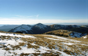
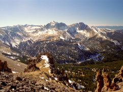
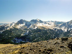
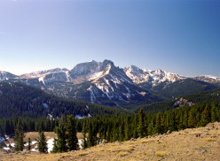
the Nokhu Crags clearly across the Michigan Ditch, and the Diamond Peaks
were on the northern horizon, topped with snow. The sun still shone warmly,
but there was scant shelter from the northwest wind. Thus, we circled around
the south side of the mountain and came to rest on the southeast side,
still in the sun but out of the wind. Here we ate a small lunch and played
fetch games with Frank.
Continuing on southeast, we hit a
small saddle connecting the first unnamed peak with the massive gradual
incline leading up to Iron Mountain further on. Andra was taken with a
nasty headache, perhaps from the altitude, as we were now above 11,000
ft, so she opted to stay at the saddle and read or nap while I took a quick
trip without any gear up to the peak and back, a proposed trip of an hour.
Frank took some convincing to come with me, since he wasn't at all keen
to the idea of leaving someone in the party behind, but he eventually came
along.
Frank and I hiked briskly up the
steep incline, switchbacking continuously and slipping quite a lot on the
loose rocks and snow. After the first rough bit, the terrain flattened
out and the going was easier. For a lot of the way, I was able to jog along
the grassy expanse. The only hitch to this strategy was when I ran over
a snow patch, expecting it from outward appearances to be only inches thick,
and finding my leg sunk up to the thigh in dry powder!
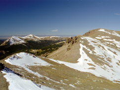
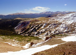
The mountain itself is the western
terminus of a gradually uplifting flattened ridge that falls away into
Michigan Ditch where the Michigan River begins. Thus, on the western side
of the route I was traversing, the ground fell away sharply in sheer, rocky
cliffs broken only by sharp teeth weathered from the mountainside, pointing
up like daggers. The eastern side had a very gentle slope to it, and was
surprisingly flat, being smooth enough to ride a bicycle for miles. At
several points along my way up, I could look down to the way I had come
and see a small speck of color that was Andra. Once I was able to get her
attention by yelling and flailing my arms, and received a similar response
back. Other times I was too far away or she was too engrossed in her novel
to notice. The saddle then became lost from view as I continued south,
and it was some time before it was back in view.
I finally reached the top of what
I presumed at the time to be Iron Mountain (I didn't have a topo map with
me at the time, but looked at one later). The western face was a dizzying
cliff that I was very concerned about since the wind was howling so viciously.
I didn't dally long since I had long since lost sight of Andra and didn't
want her to worry. Frank and I hiked east a bit to where the grade was
smooth and grassy, then loped all the way back except for really steep
spots where we had to walk slowly to avoid slipping. We met up with Andra
and then leisurely strolled back down the mountain to the car, arriving
well after sunset (not hard to do in November).
November 2002
After the first trip to Iron Mt,
I consulted a topographic map, and concluded that I had not actually reached
the summit. There are several false summits around that area, and I had
been duped by one! Not to worry. I gathered Frank into the car almost exactly
one year after our first attempt, and we drove back to Cameron Pass early
one morning and retraced our route south almost exactly. There was even
less snow than a year before, and much less wind as well, so the going
was very easy both to timberline and beyond. We hiked on up towards the
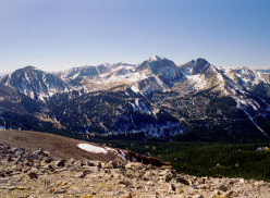
summit, enjoying wonderful views of the Nokhu Crags. Instead of stopping
where we had the year before, we kept going across the flat, grassy plain
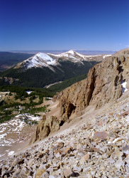
to another rock outcropping that required a detour to the west across scree
on a steep slope. This was a bit nerve-wracking and I donít recommend this
portion for the casual walker, as I ended up crab-walking slowly across
the scree field around the craggy rocks and then uphill to the summit.
Upon reaching the summit, I found the trail register and signed it. I could
see from the summit that a simpler route would be to come up from the east
through Trap Park, but the northwest approach isnít too bad either. With
no wind, Frank and I were able to enjoy the summit for quite a long time,
sharing a granola bar and enjoying the peace of wilderness.
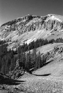
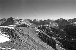
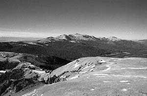
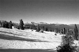
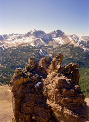
Diamond Peaks from Iron
Mt
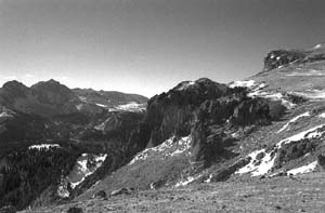
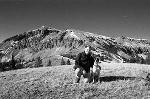
Hanging out with Frank
|
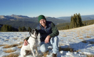
Frank and Sam enjoying a
warm fall hike
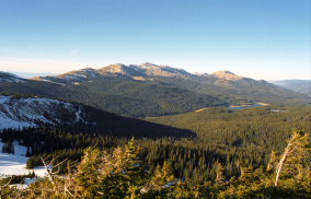
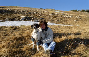
Andra and Frank
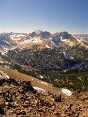
Mt Richtofen and Nokhu Crags
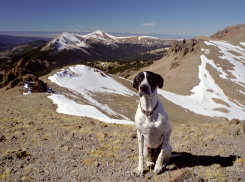
Frank the super dog hangs
in on the tricky route
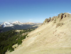
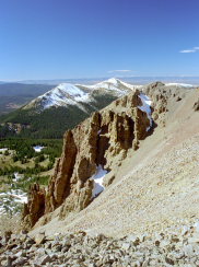
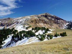
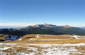
Iron Mt as seen from the
north
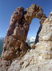
Cool arch near the summit
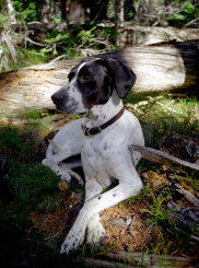
Frank relaxes in the woods on
the way back |


