| Location:
Lost Creek Wilderness, southwest of Denver, CO
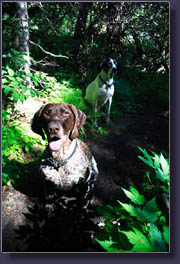
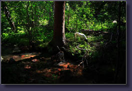
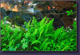
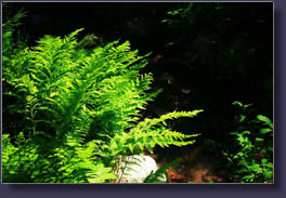
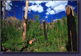
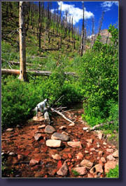
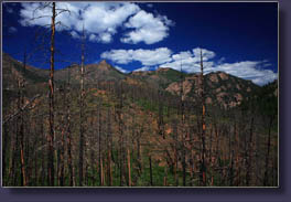
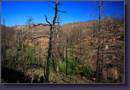
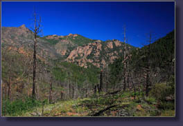
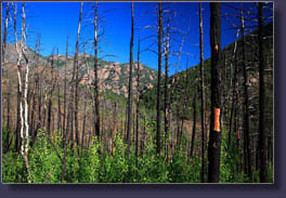
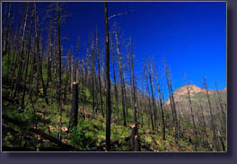
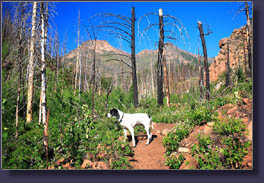
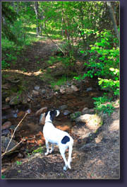
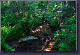
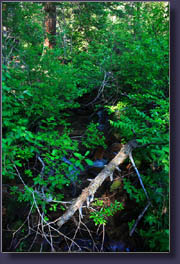
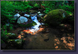
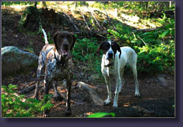
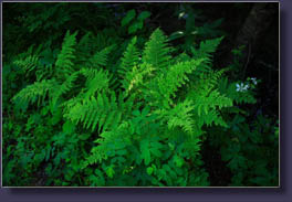
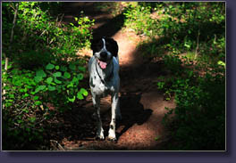
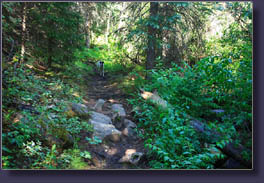
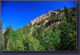
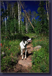
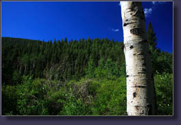
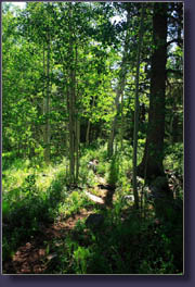
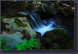
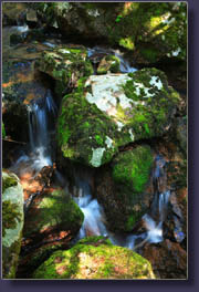
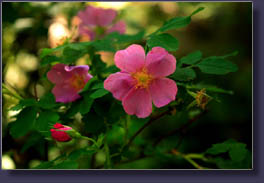
Maps: USGS 1:24K McCurdy Mt (Cheesman Reservoir quad is useful for finding the TH but does not show any portions of the trail) Access: From Deckers, drive 2.5 miles west on Hwy 126, then turn south (left) on FR 211 towards Cheesman Reservoir. Stay on FR211 and follow signs for Goose Creek TH. Several forks in the road are encountered, all labeled. At first fork, go right, second fork go left, third fork go right. At 13.5 miles, turn north (right) onto FR 558 and follow that 1 mile to the end of the road and a parking area for the Goose Creek TH. If the TH sounds tricky to get to, it is. Plan on windy roads and lots of washboard. Trailhead: NAD83 zone 13 467473e 4336009n Elev: 8211' Trail: The Hankins Gulch Trail is well-defined along the creek, passing beneath thick conifers and through thick, lush undergrowth, all of which was spared in the Hayman Fire. Portions of the trail jump up out of the gulch into the burned area, and these exposed spots are hot when the sun is out. It is 5 miles to Hankins Pass with 1800í steady elevation gain. Fees: None, though you are required to fill out a free wilderness use permit Dogs: Leash law in effect, though nobody I saw had their dogs leashed Weather:National Weather Service Point Forecast NOAA Snow Conditions July 4, 2008 Seven years ago today Andra, Frank and I got caught above treeline in a lightening storm of terrifying proportions in the Rawah Wilderness. That day still stands out vividly as the point, I believe, that I was closest to making an early exit from this world. Keeping that lesson in mind, I set my alarm for 6AM and was out on the road by 7 with Frank and Makenzie in the back seat. Andra had to work (on our national holiday!) so it was just the three of us. We left from Woodland Park in the early orange light and drove north to Deckers, a town composed of one building housing about 4 businesses along the Platte River. From there we found FR 211 and followed it over 14 washboarded miles to the trailhead. The road quickly led into the heart of the Hayman Burn, and most of the hills were covered with burnt pine tree boles and tawny grass. Islands of pine and spruce dotted some of the draws, giving a glimpse of what the area looked like before the fire. The ecologically-stoic among us will say that a burned landscape is every bit as beautiful as old-growth forest since it is all part of the natural cycle, but I just donít care for mile after mile of burned trees. Sure the forest was out of balance, and sure it needs fire to renew the soil and open room for new plants and aspen regeneration, but still, not as beautiful to me. Too bad I didnít get to this area before the fire. Given the remoteness of the TH, I thought (naively) that it would be pretty empty. Turns out I got one of the last parking spots in the 40-car lot. The trailhead provides one of the best vistas of the entire hike, as you can look out across the valley to the craggy summits of several 11,000-ft peaks of the Tarryall Mountains. Ironically, the lack of living conifers opens up the view even more. The rock of these mountains is orange, and very sculpted in rounded pinnacles and blobs. The fire didnít destroy all the trees, and large swaths of green remain on the mountainsides. We headed downhill towards Hankins Creek, passing into the Wilderness, along a trail lined with countless types of flowers and small shrubs, all growing riotously under the slanted shadows of blackened tree trunks. The geraniums were in peak bloom, and their pink petals dotted the hillsides. We got to Hankins Creek and the dogs drank their fill of water before we turned left at the junction and followed Hankins Gulch. In just a hundred yards or so, the trail led into unburned forest along the creek, and the lushness of the undergrowth overwhelmed me. Heavy rains the day before had left everything soaked, and in the cool morning air steam rose up off leaves in sunlight and my breath puffed out before me like smoke. Hankins Creek rustled by, lined with tall ferns, bluebells, geraniums, aspen, chokecherry and a hundred other plants. The vegetation was so thick it was as though I had been transported to Oregon, or perhaps New Hampshire. Thereís a bit of the North Woods feel to this place. We walked along the creek, enjoying the short water falls and moss-covered rocks, for about an hour to an elevation of about 9,000í. I didnít want to push Frank too far, our English Pointer, since he has cancer and itís unclear just how much energy he really has to put into hiking these days. This hike was the most strenuous he had been on since the diagnosis and initial problems, and he seemed to be doing great. Nevertheless, the combination of distance and the fact that the trail was leading back out into the burned area where the sun was hot helped me to decided to turn back. We took the walk back at a slower pace, stopping to sit on logs by the side of the trail and enjoy the perfect tranquility of the gulch. One of Frankís favorite games is to chase tiny rocks I toss near him, so we played this game for awhile in the forest. I encountered only one couple along the trail, leading me to believe that most of the cars in the lot belonged to backpackers who were deep in the hills this time of day. We reached
the trail junction with Goose Creek Trail and turned back towards the car.
On the short stretch to the car I encountered perhaps 12 hikers and 4 dogs,
all heading downhill towards the creek. Many had large frame packs on and
I envied the start of their multi-day adventure. This seems like an outstanding
backpacking area, even with the extensive burned areas. We reached the
car at 10:30, and spent about an hour driving back to Woodland Park for
lunch with Andra. Every hike I take Frank on these days could be our last,
so itís especially gratifying to have one as nice as this one was. Memories
from this trip are my new happy place, that spot I go to in my head when
I'm doing something really crappy, like sitting in a work meeting, or a
dentist's chair.
|
 |

