| Location:
Caribou-Targhee National Forest, north of Malad City in southeast Idaho.
Access: From Malad City on I-15, drive north 9 miles to the Devil Creek Reservoir Exit (22). Turn right at the exit and follow Old Highway 191 north, parallel to I-15, for 3 miles. Turn left on 11000N and cross back over I-15. Follow 11000N west through houses and into the National Forest for 3 miles to the Summit Campground. The Summit Canyon TH lies at the end of the road a mile or two further on. Road is 2-wheel car accessible in dry weather. Trail: There are undoubtedly numerous ways to summit Elkhorn Peak, especially since there doesnít seem to be any sanctioned trail to do so. My route: From the Summit Canyon TH, follow the signs for Kents Canyon Trail, which involves taking an immediate right at the TH on Trail 333, following a creek for 3/4 mile and taking a left turn at the next fork onto Trail 334, again following signs for Kents Canyon Trail. The trail is designated for motorcycle travel, so itís very easy to follow. The trail leaves the creek at the second fork just described and heads southwest. In about 2.5 miles, watch for a sign reminding you that youíre on the Kents Canyon Trail in a clearing just before the trail takes a sharp southeast turn. Leave the trail here and head west up the open ridge for about ½ mile for to a break in the cliff just south of Elkhorn Peak. Once youíre on the ridge, itís easy going 1/3 mile north to the summit, which is marked by a 10-foot rock pile that mustíve taken someone days to build. Elevation gain: 2495í (6600-9095í) Summit: NAD83 zone 12 390628e 4687506n Maps: USGS 1:24,000-scale quad: Elkhorn Peak Weather: NWS Forecast Fees: None Dogs: OK June 25, 2009 The drive to this trailhead is technically easy, but the road past the cattle guard onto the National Forest is so narrow for so long that I was very worried about what I would do in the event of meeting another vehicle on the road. Aspen were brushing both sides of the truck as it was. Where would I go to let another car by? There arenít many pulloffs, so beware if youíre heading up. Luckily, there doesnít seem to be much traffic at all, and I saw nobody on the way. I reached the trailhead under a mostly-cloudy sky, and packed my small bag for the trip. It was pretty warm, around 80, but I strapped my shell jacket and fleece on my pack just in case the rain that threatened actually materialized. Some sunscreen, deet, a hat and a change of socks and boots, and I was ready to roll up the trail at 5:00. The USGS map doesnít accurately
show the current situation of trails and trailhead, so it took some quick
compass work and map interpretation to figure out that I wanted to head
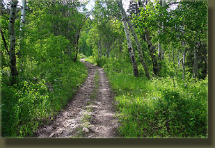
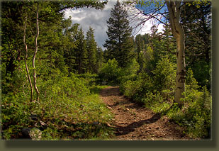
up the Kents Canyon Trail. This route led uphill along a well-used ATV
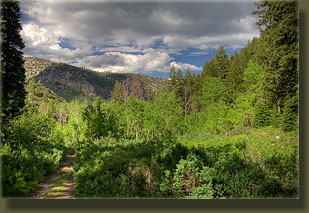
trail that paralleled Mill Creek, a rushing stream lined thickly with delphinium,
columbine and large aspen. A few waterfalls provided even more interest
to an already interesting scene. Maples, snowberry and blooming chokecherry
added to the lush, thick green screen along the route. I walked uphill
on the dry trail at a good pace, sweating, enjoying the occasional break
in the clouds that let in golden sunlight to shine on the foaming water
and flickering aspen leaves. It wasnít long before the mosquitoes discovered
that I hadnít sprayed my face with deet very well, and they began to land
by the dozens, necessitating a constant slapping of my cheeks to kill them,
probably making me look like I had mental issues.
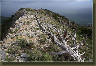
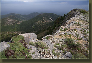
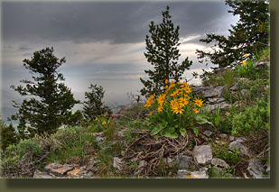
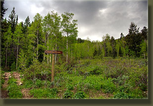
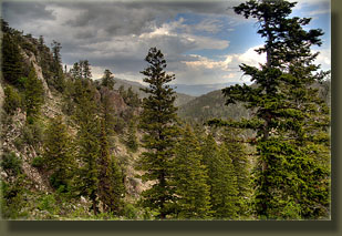
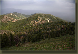
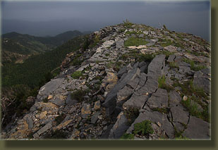
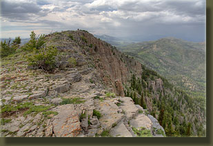
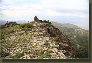
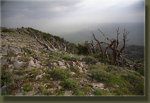
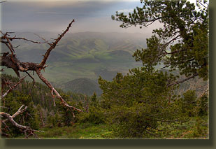
I kept my map and compass handy and watched the trail until I reached a recognizable point where the trail takes a quick southeast turn at 7640í. I stopped for water, plugged in the summit coordinates into my GPS, then headed off trail up the hill to the west. Right about that time, the wind began to blow fiercely, and the rain began, just a light sprinkling. Not knowing if it would develop into more, I found a trio of massive conifers and broke a few low-lying dead limbs off their trunks to allow room for me to squeeze in among them. I sat in a deep carpet of cone bracts from a squirrel midden and drank some water while the rain spattered around me, but not on me. After a few minutes, the sprinkling stopped almost completely, and I resumed the ascent. The wind tapered down, and a little blue sky even began to show, though not much of it. The views to the east opened up, though the horizon was obscured by rain. The last little bit up the slope was extremely steep, and my heel began to hurt, as it has most of this spring. Once I made it to the ridge and could look over towards Pleasantville to the south, it was easy going north to the summit over large, flat rocks and lots of bleached wind-blown pine skeletons. The summit is marked by a conspicuous rock monument, perhaps the largest summit monument Iíve ever encountered, and I signed the summit register as the first person to do so in June. The sky was still mostly cloudy, and the horizon in almost all directions was obscured by clouds, which is too bad since I suspect the views from this prominent and isolated peak would be fabulous on a clear day. On my way down, I swung further south, keeping to the ridgeline until I suspected I was almost due south of the spot where I left Kents Canyon Trail. I stopped several times to tend to my heel, packing my bandana behind it, then some mole foam, which turned out to be pretty comfortable for most of the hike down. The sun began to shine on the hills to the south near Samaria, and the deep grass that has grown up under one of the wettest Junes on record glowed like velvet in the afternoon light. I left the ridge just as it began to rise again towards Kents Mountain, and headed straight north down a drainage that led me right back to the spot where I left the trail over an hour earlier. Under completely overcast skies and swarms of mosquitoes that came to feast in the still, cool air of dusk, I hiked on back to the truck and ended my trip about 3.5 hours after it began. |
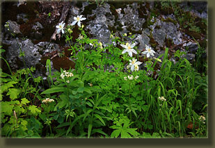
Columbines near the Kents Canyon trailhead
|
