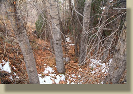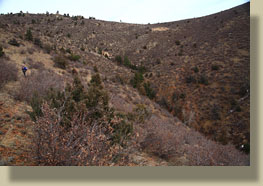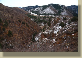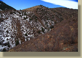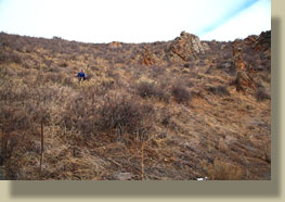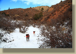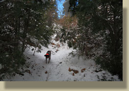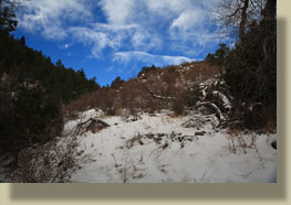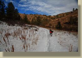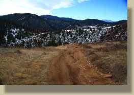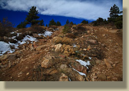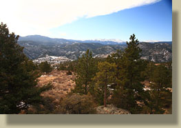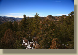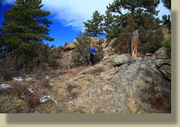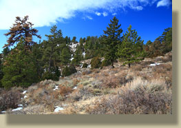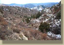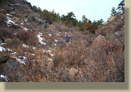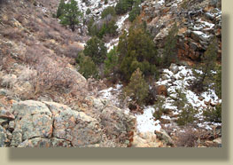
Location: Roosevelt National Forest, Colorado Access: From Tedís Place at the intersection of Hwy 287 and 14, drive 21.1 miles west on Hwy 14 to a pullout on the north side of the road between two spillways that cross the highway, right across from Dutch George Flats. If you get to the Kelly Flats Campground, youíve gone too far. Map: USGS quad Big Narrows Trailhead: UTM NAD83 zone13 461913e 4505025n; 6527í Route: From the parking area, head up the dirt road and take the gulch to the left. This presents a nice trail that leads to the Kelly Flats ORV road. Take the ORV road northwest to a road junction, then take a right and head due north. The road goes within a few dozen meters of high point 7842í, which makes a nice turnaround point. You can either return the way you came, or if youíre feeling adventurous, head southeast to the eastern of the 3 gulches that drain to Dutch George Flats, and follow that one down any way you can (itís rough). Fees: None Dogs: No posted regulations Weather: Local Forecast November 21, 2009 Christine and I drove up the Poudre Canyon on this cloudy but mild morning with Makenzie and Henry panting in the backseat (theyíre my dogs, itís OK). I parked just along the highway at Dutch George Flats, which is where the South Fork of the Poudre meets the main stem of the Poudre River. Dutch George Flats is named after George Weari, a trapper who lived there in the 1870's (Evand & Evans, 1991). To the north of this junction, several large drainages come down to meet the river. Although dry most of the time, there are two spillways across the highway right here, which also makes the best landmark of where Iím talking about since these are the only spillways across the highway for the entire length from Tedís Place to Walden. Being November, and hunting season, I outfitted Henry and Makenzie with day-glo orange bananas, a shade which is very flattering for Makenzieís brown coat, and slapped on an orange ball cap on my own head while Stein wrapped an orange bandana on her pack. At around 9:30 we began hiking up an old road into the hills. There are 3 main drainages that meet here, and we chose to head up the one farthest to the west, which is also where the old road seemed to go. None of these three gulches are named, but for sake of conversation, Iím calling this largest drainage on the west Dutch George Gulch. Along the way, we passed a barred mine shaft, where I hear long ago gold was found and mined for a short bit before the craze passed. There still seems to be gold around, though, as Iíve seen gold panners on a few occasions along the creeks in this area. There was plenty of snow on the ground, and the freezing fog from the night before had left everything coated in rime, with intricate, jagged crystals hanging off every branch and twig. We followed the road as it turned into a well-defined footpath. I hadnít expected any trails, but this is exactly what we got. Water trickled down the draw under a layer of ice, but it was not much. Overall, the hiking was very easy and quite enjoyable. The sky to the west was blue, but a stubborn bank of thick clouds hung over the eastern half of the sky, keeping us in the dark. The temperature was pleasant, though, and before long I was down to just a flannel shirt. The dogs raced ahead of us, but kept returning to check in. We reached the Kelly Flats ORV trail sooner than I expected, and we followed this rutted gash of brown across a few hills towards higher ground. The steep uphill walking made me work up a sweat, and I removed my flannel to cool off, but when the wind would gust, I got very cold, so I put it back on after 10 minutes. Our hiking was fairly aimless, but as we increased elevation, I saw that we could hit a nice high point at 7,842í. So, we did. From the summit of this minor bump, we could look northwest and see Lonetree Mt, which I climbed earlier in the spring. From there on, I relied pretty heavily on my map and GPS to steer us back to the car. As I mentioned, there are three gulches that meet at Dutch George Flat, and while we had reached this high point via the western gulch, I wanted to return to the car via the eastern gulch. This meant hiking far enough north to miss the middle gulch, but not so far as to drop into Trail Gulch, which would take us pretty far out of our way. So, we bushwhacked through mountain mahogany and juniper towards the eastern gulch, and eventually got into a discernible draw which we labored to head down. The going was tough because of thick vegetation in the draw, and steep sides to the drainage. There was just no easy way to proceed, so we made slow progress. At times the drop of the drainage was precipitous, and much sidehilling was required to get around obstacles. Being generally south-facing, the terrain was heavy with cactus, so the dogs walked gingerly and slowly to keep up. Tough mountain mahogany branches impeded progress and grabed our pantlegs while thick junipers formed impenetrable walls of green that had to be circumvented. In all, and I donít say this lightly, it was the toughest off-trail hiking Iíve ever done in Colorado. The terrain was just incredibly rugged. This added to the charm, though, and I thoroughly enjoyed it. While the western gulch had a footpath and was clearly oft-travelled, this eastern gulch is clearly rarely travelled. As we descended further, we caught glimpses of the highway, but the drop in the drainage became too steep to hike down, so we had to stick to the sides of the draw. My plan was to sidehill down and avoid the steep drops, but before we sidehilled far it became apparent that there was no easy way down this draw. Thus, we continued south, maintaining our elevation as the terrain dropped away until we caught up with the ridge that separated middle and eastern gulches. From here we could see that a descent into the middle gulch was much, much easier than attempting to get down into the eastern gulch, so thatís what we did. I donít imagine anyone would relish ascending this way, but going down on the steep rocky scree wasnít too bad. I lost my feet once and landed on my bum, but luckily there was no cactus underneath! We reached the snow-filled
middle gulch, then headed south to the highway, completing our loop in
about 3.5 hours.
|
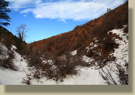
Lower Dutch George Gulch
|
