| Driskill Mountain
Location: Near
Arcadia, Louisiana
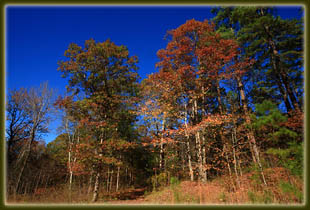
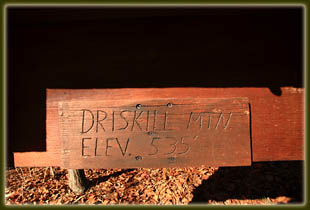
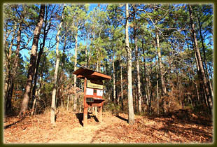
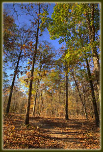
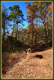
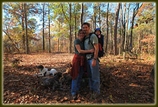
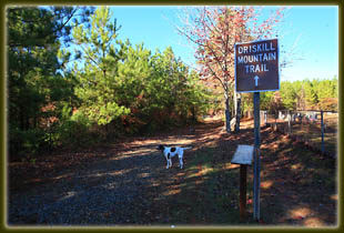
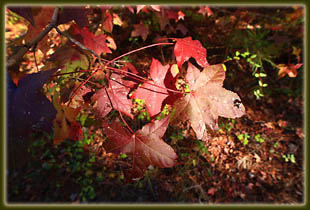
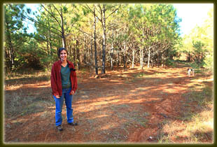
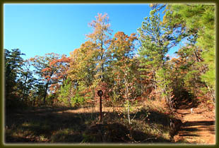
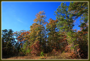
November 27, 2010 Eventually, even the most rational, sale-motivated people will start to evolve lists of things they want to do. Some folks want to eat a Dairy Queen Blizzard in every state. Some want to visit every state highpoint, or every continent. It was perhaps inevitable that after spreading hikes around the western US, I’d come to view hiking in every state as a worth goal, hence the map on the main hiking page. Thus, an opportunity to hike in Louisiana couldn’t be passed up. While driving back home from Thanksgiving in Fort Worth with family, Andra and I slipped south off the interstate a few miles to the Mt Zion Presbyterian Church on the south side of Driskill Mt. We parked the car, loaded up Ada in the backpack and released the hounds, Henry and Makenzie, from the back of the car. They had been whining ever since we exited the highway, knowing with uncanny accuracy that we were not just exiting to see a rest stop, but to take a hike. The sixth sense of urban dogs. The day was pretty much perfect for such a hike: air temp hovering around 61F, no wind, full sun, low humidity. Best of all, being November-bordering-on-December, there were no bugs of any kind hovering around. We started north on the trail, which is apparently a little-used road, following the arrows wherever there was a branch in the road. The trail is very well marked, and there are several signs along the way describing the trail, the owners, the history and even an off-trail route to the false summit. Even with most of the leaves down, plenty of shade was provided over the trail by a variety of oaks, dogwoods, sweetgum and loblolly pine. Driskill Mt is named after James Christopher Driskill, who bought 320 acres of land that included this mountain in 1859 after moving from Georgia. In 1883, he sold 2 acres of land for $5 to the Mt Zion Presbyterian congregation, which erected a church that has stood, in one form or another, to the present day, and serves as the trailhead for this trail. After enjoying the gently sloping trail for a bit, we pushed up a last short stretch which seemed to have the most noticeable elevation change, and we found ourselves at the summit, which is marked by a wooden kiosk and a rock monument with an American flag. We signed the register, noting the surprising popularity of this high point, and headed on back down. Driskill Mt sits at 535 feet, making it a paltry high point, yet Delaware and Florida’s are even lower. Several websites list Driskill Mt’s prominence at just over 200 ft, meaning that it is not an officially ranked peak by USGS definition. Several other state high points are this way, such as Nebraska’s Paradise Point, or Iowa’s Hawkeye Point, both barely registering as visible hills. A trail heads downhill to
the north from the summit. I’ve no idea where it goes, though I’m sure
an answer to that question can be found by browsing summit logs on the
internet. My interest didn’t go quite that far, and we returned to the
car the way we had come, with one more state hike under our belts, though
I can barely qualify this one as a hike since it was so short.
 |
|
