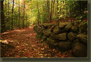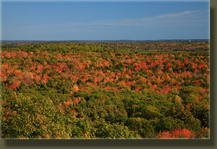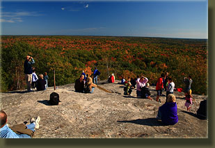
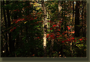
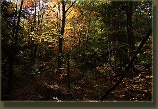
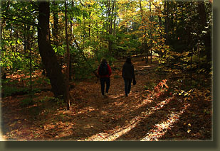
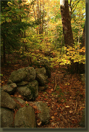
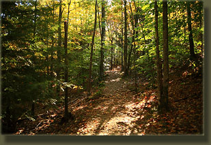
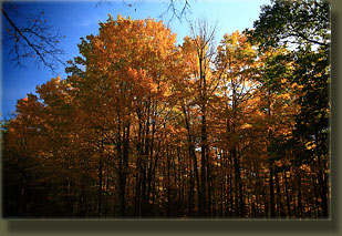
October 12, 2009 It was the busiest state park I’ve ever seen. We pulled into the park entrance, and both sides of the road were lined with cars and pedestrians in all shades of bright outdoor clothing. Two uniformed park attendants at the front booth stopped us, and one of them asked me if I was out of state, apparently meaning it would cost me more if we were. Finding it hard to hide the New Hampshire plates, I affirmed, and we paid $4.50 each to get in. Another uniform up ahead waved at us and pointed out a free parking spot, an apparent rarity. Mom, Andra and I hopped out the car and began walking along the paved road towards the Northern Loop trailhead. The sun was shining through a clear blue sky, highlighting the red, yellow and brown leaves on all the oaks and maples, creating a very pleasant atmosphere. We caught the Northern Loop Trail, and headed north along a wide path lined with forest. Route 9 closely parallels the trail, and the occasional car zooming by could be seen through the leaves. I was surprised by how many people were walking this trail. Very popular place, apparently. We took the turnoff for the Terrace Trail, which looked more like a footpath and less like a carriage road, and followed the path uphill through more golden forest essentially without any other hikers on the trail. It appears that most hikers remain on the longer, but more gradually-ascending Northern Loop to reach the mountain summit. This was confirmed when we reached the Northern Loop again just shy of the summit and encountered a parade of hikers heading up, which we joined in for the last 200 meters to the bald summit. More than 50 people lounged on the rock at the summit, overlooking a sea of fall-colored forest leading out towards the coves and bays of the Atlantic coast beyond Freeport, all of us savoring these last days of warm fall sunshine. We stayed a while enjoying the open view, and after snapping a few photographs, we began descending on the Summit Trail, a short and steep run that heads straight back to the parking lot. If time had allowed, I’d have preferred to take the South Ridge trail back down, or perhaps even explored what I imagine to be a relatively lightly-used Boundary Trail, but we had schedules to keep, and so we headed on south. |
 |
