| Davies Island
Location: Center
Hill Lake, near Smithville, Tennessee
UTM NAD83 z16 616194e 3986165n
Access: Several.
Ragland Bottom Recreation Area, 15 miles west of Sparta on Hwy 70, is a
good spot to start. From Ragland Bottom, itís 2 miles north to Davies Island.
Map: USGS
quads Sligo Bridge and Silver Point
Fee: Yes,
though I canít remember how much it was
May 19, 2011
While browsing the map around
home one day, I noticed a big island in the middle of Center Hill Lake
that looked heavily wooded and unpopulated. Davies Island is a 1-square
mile hilltop surrounded by the artificial reservoir waters of Center Hill
Lake, impounded by a large hydroelectric dam on the Caney Fork River. I
always found that name a little odd, by the way, whereas most rivers have
a North Fork or South Fork of the main river (North Fork Platte River,
for example) or Clear Fork of the Trinity or Prairie Dog Fork of Red River,
Caney Fork is just a fork unto itself: Itís not the Caney Fork of the Cumberland
River, or something like that, nope, itís just the Caney Fork. Thatís it.
A quick web search indicated that Davies Island is not privately-owned,
so I immediately made plans to paddle out there to check it out.
Time passed by, and I had
a hard time implementing the plan. With only 2 weeks left in Tennessee
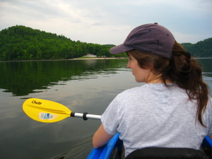
before we moved to Wyoming, Andra and I finally got the kayak on the car
and headed up to Ragland Bottom as soon as I could scramble home from work.
It was a cloudy, oppressively-humid afternoon, especially right there on
the water, but I was too excited to mind. We carried the kayak to the water,
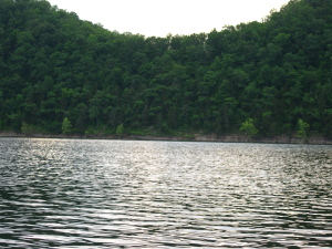
jumped in, and off we went, heading due north. From the map it looks like
youíd see the island no problem as you cruise north in the lake, but the
shoreline is so heavily wooded and convoluted, that if I didnít have my
GPS with me, Iím not sure we would have been confident in finding it. The
paddling on the still water was hard work, and by the time we made it to
the south shore of Davies Island 25 minutes later, I was ready to jump
in the lake to cool off. My life jacket was like a down jacket, and I slipped
it off when we reached shore.
At water level, white sedimentary
rocks provided a step to hop out of the kayak, but there was no easy way
to beach it. Immediately above the waterline, the island terrain shot upwards
at a steep angle, covered with trees, shrubs and poison ivy. In this particular
spot, there was no way both of us could leave the boat, since someone had
to stay with it to keep it from floating off and to help stabilize it while
the other person got in or out. I scrambled up the hillside a short ways,
but soon realized it was going to be a long haul to get to the top of anything,
and anyway I could hardly get any traction in my sandals over the steep
ground. I returned to the kayak and got back in. We paddled along the shore
for a bit, but saw more of the same.
The lake was pretty quiet.
We saw a few motorboats in the distance, especially up the Falling Water
Inlet (where Burgess Falls sits), but overall it felt pretty isolated.
I liked it. However, the heat was oppressive, and frankly I was a little
put off at the thought of paddling around the entire island, a distance
of something like 4.5 miles. Even if we had the time to do it, which we
didnít, I think I would need a cooler day to make that trip. So, we decided
to head south and check out a smaller island about 1500í south of Davies
Island.
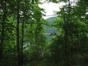
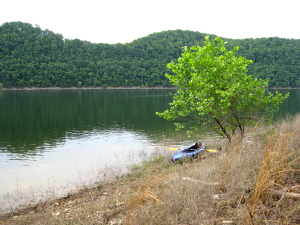
The smaller island had shores
that were not so steep, and we were able to beach the kayak and walk around.
Hickoryand white oak trees covered the island, a small spit of land
about 500 feet long. After walking the length of the island, we returned
to the kayak and paddled off south across the smooth, dark expanse of water.
Such depths make me nervous. From historical maps, I figure the pre-dam
river level was about 550í, which put us just about 100 feet above the
original river. By 5:30 we were back at the boat ramp, rigging the
boat back on the car. Sure wouldíve liked to have spent more time kayaking
around the rivers and lakes in Tennessee, but the west called, and I had
to head on back.
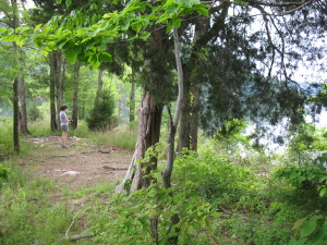
An apparant campsite on
the small island
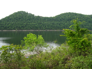
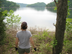
Almost back to Ragland Bottom
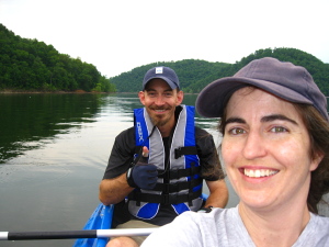
A successful trip
|
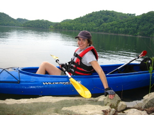
Andra at Davies Island
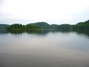
Small Island south of Davies
Island
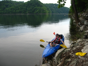
Andra on the south shore
of Davies Island
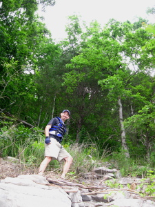
Sam up the steep slope on
Davies Island
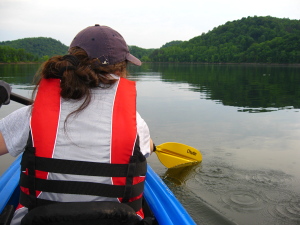
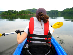
Kayaking on Center Hill
Lake
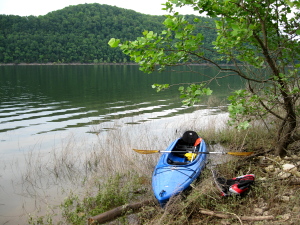
Beached kayak on a small
island south of Davies Island
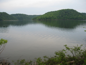
Davies Island is the big
hump on the right
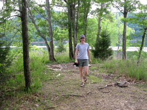
Andra on the small island
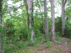
Oaks and hickories on the
small island
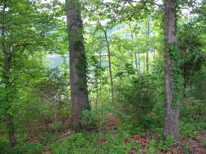
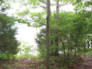
|
