| Location:
Pike National Forest, on west slope of Pikes Peak massif, near Woodland
Park, Colorado
Access: Take Hwy 24 from Colorado Springs to Divide, then take Hwy 67 south for 4 miles. Turn left on FR 383 , which is marked with sign that reads “Crags Campground 3.5 miles”. Drive up the road, past the Menonite Camp, to the turnoff for the Crags Campground. You can either continue up the campground road ¼ mile, or park on the road. There is a fee if you drive in. Trailhead: NAD83 zone 13 489619e 4302496n Trail: Easy ~2-mile, well-marked trail to the top of a bald peak with a great view of the Crags. Elevation gain: 760’ (Begin:10,050’ End: 10,810’) Maps: USGS 1:24K Woodland Park Dogs: Lots of dogs off-leash; didn’t catch any signage regarding leash restrictions Fees: We didn’t pay since we parked on the forest road and the campground was closed. If you drive all the way through the campground, it seems like you’ll have to pay a day-use fee, though it’s not very clear. Weather: National Weather Service Point Forecast NOAA Snow Conditions May 31, 2008
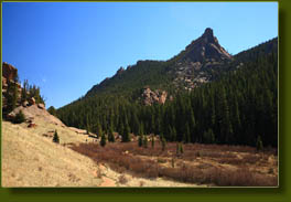
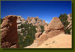
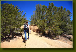
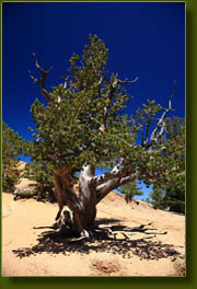
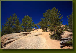
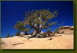
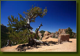
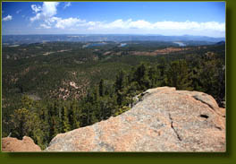
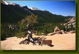
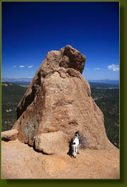
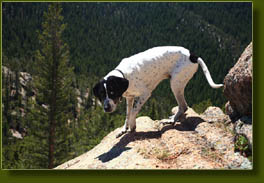
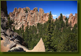
The Forest Service was in the process of cutting down and grinding up trees in the Crags campground, presumably those already dead or dying from some beetle infestation, but who knows, maybe someone complained that there was too much shade in the campground. The campground was thus closed with a sturdy gate barring entry, but the forest road running next to the gate was wide enough to allow cars to park on either side, which they did, some 50 of them (us too). Because of this parking arrangement, the first portion of our outing consisted of touring the Crags Campground, a pretty nice looking campground with plenty of conifers and a little stream running near the road. At the end of the gravel campground road, a small parking lot with outhouses signals the start of the trail. Water paralleled the first 2/3 of the hike in the form of a clear, swift stream running beneath the conifers or slowly souping along through a phalanxe of beaver dams once we reached the meadows. Some pools were deep enough for the dogs to swim in, and naturally Makenzie took advantage of it, jumping in headlong and breaking through a thin layer of ice. She’s very enthusiastic when it comes to water. Daisies bloomed on either side of the trail, and some of the aspen groves were beginning to leaf out while others remained completely dormant. The last 1/3 of the trail left the stream and climbed uphill to a saddle that offered a nice view of the Catamount Reservoirs and surrounding terrain to the north. The trail continued on steeply to the west, up a gravelly slope scattered with limber pines and, near the top, a few dozen of not-often-seen bristlecone pines with their gnarled trunks and exposed roots. The trail culminates in a bald peak which allows almost unobstructed views to the north, south and west. The Pikes Peak massif fills the eastern horizon. Without difficulty, we dropped down a little to the south to another bald peak, and admired a wall of crags to the west of it. Pretty interesting place. The hike back was pretty straight forward, and we passed many people coming up the trail. Seems like the activity of this trail increases as the day progresses towards 2:00. |
 |
