Crystal Lakes, Colorado
  • Location: Arapaho National Forest, a few miles south of Breckenridge, CO
  • Access: From the intersection of S Main St and Hwy 9 in Breckenridge, head south on Hwy 9 for 1.7 miles, right on Crown Drive for 0.6 miles, then right on Spruce Creek Rd for 1.1 miles to the TH. 
  • Trailhead: -106.050845w  39.436944n
  • Trail: 2.3 miles, 1630’ elevation gain to Lower Crystal Lake. Another 2 miles and 850' elevation gain to Upper Crystal Lake. 
  • Map: USGS Breckenridge 7.5’ quad
  • Fees: None
  • Dogs: No posted regulations
  • Weather:Current Conditions    Local Forecast

View Larger Map
Lower Crystal Lake

September 20, 2013
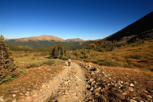
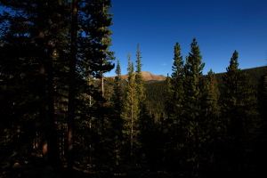
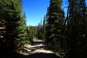
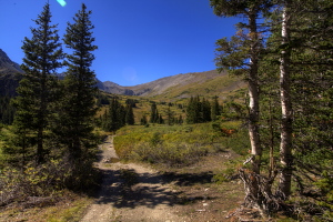
The parking lot was surprisingly full for so late in the afternoon. We donned hiking boots and I threw on a backpack with water and the basics and we were off up the dirt road that continued on out of the parking lot. I had little information to go on aside from Stein’s over-the-phone description of the trailhead and trail, and I thought we’d be hiking a trail, not a road. Nevertheless, we headed uphill through the beautiful late afternoon sun on the narrow dirt road that knifed a gap through the spruce-pine forest. The road was steep, and in the warm afternoon air I was sweating in no time. We passed a side road that went off to the left and kept on the main route that went on uphill. 

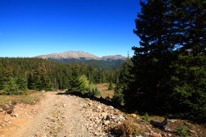
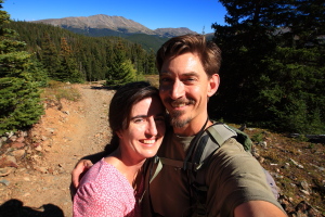
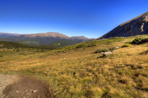
The road was cobbly and eroded, but I could see recent tire tracks. As we gained altitude, I could see the surrounding mountains and down into the valley below. We plodded on, feeling good in the crisp fall air, enjoying the now-unique experience of hiking together. Since children, it hardly every happens. Near treeline, the road forked again, and the right fork seemed to enter private property. We stayed on the main route and headed on up above the trees. 

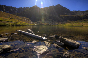
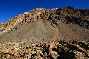
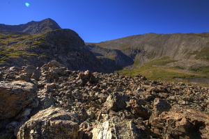
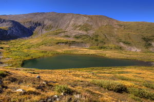
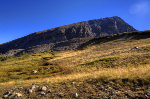
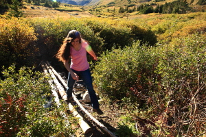
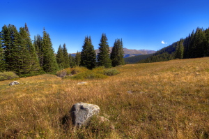
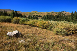
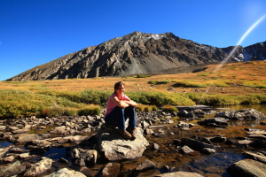
The grasses were golden in the fall sunlight, all senescing and bedding down for the winter snows that come about this time of year. The road crossed Crystal Creek, and we slipped through the willows to find an easy crossing away from the washed-out road crossing. In no time, we were at the lakeshore of Crystal Lake, gazing up at the grey rocky cliffs of the cirque to the west and south. On the north side of the lake, the slope was steep, but tallus rather than jagged rock, and bisected by a footpath that stepped up the contours on its way to Upper Crystal Lake. 

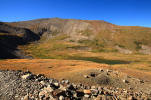
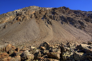
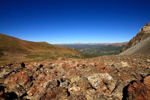
We sat on a log at the outlet and watched the water. A man fly-fished the southern shore, framed by Crystal Mt on the horizon. We followed the road up a little farther to the south towards Mt Helen. Having no map, but knowing there was an Upper Crystal Lake around here somewhere, I thought the road might head to it, but it does not. Instead the road heads up to a mine on the north face of Mt Helen, and nothing but rocks to the southwest. 

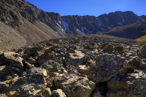
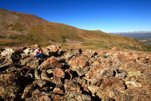
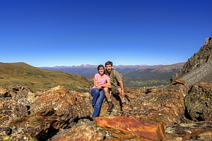
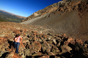
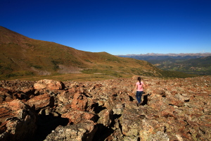
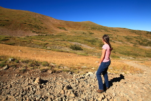
We skipped around in the boulderfield and admired the view for a bit, then decided we’d better head back down. We passed back by Crystal Lake, and then hiked the road back downhill. Andra stopped by the creek and took off her boots to soak her feet a few minutes in the icy stream. I abstained. My feet have to really be aching to accept ice water on my toes. 

We cruised on back downhill, arriving at a still-packed parking lot, which was strange because we only saw one guy on the entire hike up to the lake. Where else to people go from this TH? It’s a mystery we’ll have to come back to explore someday. As it was, we hopped in the car and drove into Breckenridge to enjoy a nice dinner at Rasta Pasta. 


Crystal Lake, Colorado

Crystal Lake, Colorado


Upper Crystal Lake

August 3, 2014
It’s early, and after a late night conversing around the fireplace, I’m grateful Mandy has awoken early and brewed coffee. Nolan and I pile our gear into the Forester, and take leave of Andra, Mandy and Mike, agreeing to meet up later for lunch. Off we go, in the still-faint light of dawn, into the woods. 

The forest road that leaves the highway just south of Breckenridge is familiar, as we parked along this same road two days previously to hike up to Mohawk Lake. This time, we park at the Crystal Lakes TH, and in the cool, wonderful air of the conifer forest, slap on boots, sunscreen and packs, and then we’re off. This is my second ascent up this trail, and it’s just as steep as I recall from last year. The route is a road, and like most routes pioneered by a combustion-engine, it has little comfort for pedestrians. It steams up the hillside at a brutal incline with nary a switchback, and soon we’re both panting and sweating, but enjoying the exertion. The woods are quiet, and the sun is blazing on the horizon. We plod up this tree-lined avenue for a mile before reaching timberline, where the view really opens up. 

The road leads over alpine tundra littered with patches of wildflowers. The lower slopes of the mountains above, Peak 10, Father Dyer and Mt Helen, are emerald green, with a few vagrant snow fields still hanging on at this late date. The road crosses a stream, and winds through willows, but the conifers are far behind now, and the sky seems immense and close. We reach Lower Crystal Lake and stop to take a rest and let the sweat dry. I gobble down a granola bar and some water. Andra and I reached this spot last fall, but today Nolan and I plan on heading higher, up to Upper Crystal Lake. 

We head higher up into the bowl, following a foot trail now instead of a jeep road. The flowers surround the trail: penstemmon, old man of the mountain, Indian paintbrush, more. We follow the trail on a long, sweeping switchback to the north that passes below the summit of 13,600-foot Peak 10 before heading back south along a rocky slope towards Crystal Peak. We continue up at an even grade towards the unseen lake above. After another half hour, we reach it, a large deep bowl of rock with deep blue water in the center, all situated humbly below massive Crystal Peak, which is just a couple hundred feet shy of being a 14er. 

A derelict miners cabin sits on the northern shore of the lake, and we poked around its ruined walls for a few minutes before finding a comfortable spot to sit and have an apple. The trail continues on to the south side of the lake, and there are signs of old mining operations in the tallus south of the lake. Hard work to mine up here I’m sure, but the fringe scenery benefits are sure nice.

After loitering for half an hour, we head back down the trail, back past Lower Crystal Lake and back down the steep forested road to the car, reaching it around 11:00, just in time to drive north and rejoin the others at Silverthorne for lunch. 


Crystal Lake, Colorado
Crystal Peak

Crystal Lake, Colorado
Nolan and Sam and Upper Crystal Lake

Crystal Lake, Colorado
Upper Crystal Lake and Crystal Peak, 13,822'

Crystal Lake, Colorado
Looking north from Upper Crystal

Crystal Lake, Colorado
Indian Paintbrush just below Lower Crystal Lake

 
Crystal Lake, Colorado
Mt Helen above Lower Crystal Lake

Crystal Lake, Colorado
Father Dyer Peak

Crystal Lake, Colorado
Father Dyer Peak and Crystal Peak (right) from the trail

Crystal Lake, Colorado
Nolan chugs up the long, steep climb to Upper Crystal

Crystal Lake, Colorado
Father Dyer Peak 13,596'

Crystal Lake, Colorado
Nolan at Upper Crystal Lake

Crystal Lake, Colorado
Peak 10 from a tarn above Upper Crystal Lake


BACK                      NEXT


Page created 12-31-13
Updated 3-1-15
Comments