| Byers and Bottle Peaks
Location: Frasier Experimental
Forest in the Arapaho National Forest, just west of Frasier, Colorado
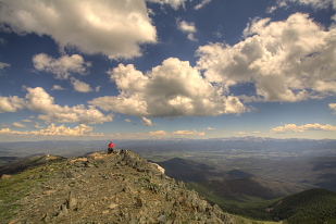
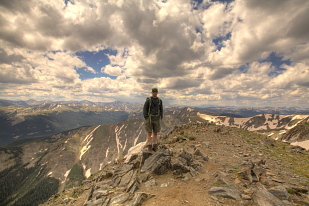
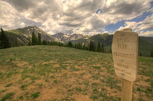
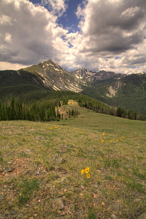
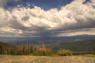
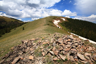
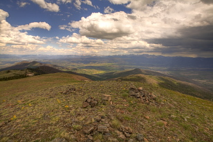
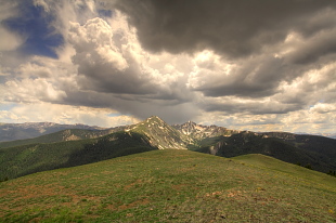
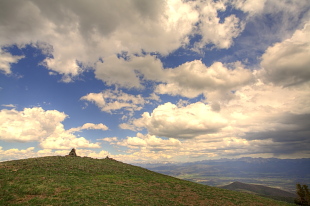
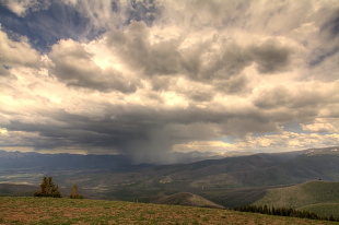
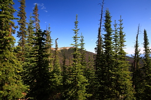
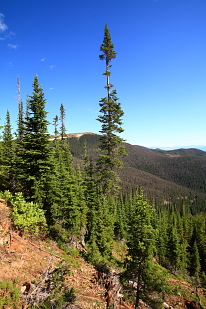
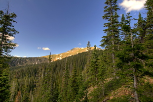
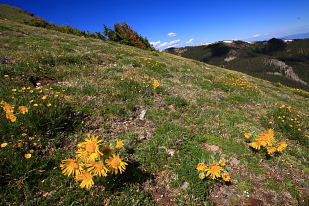
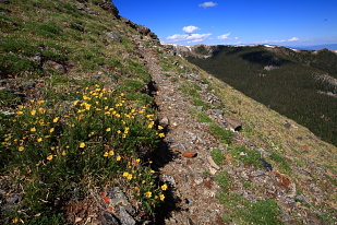
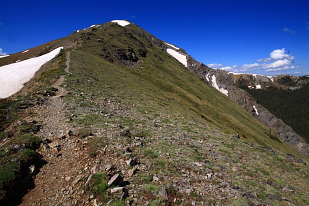
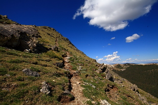
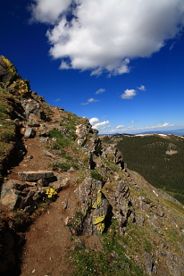
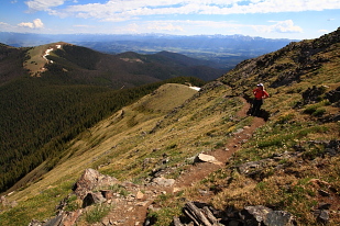
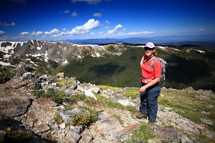
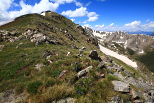
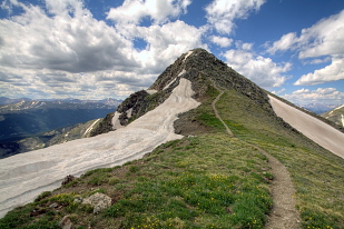
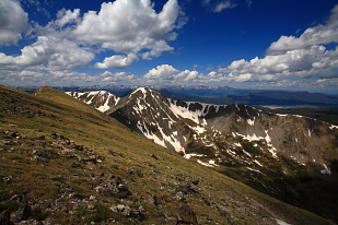
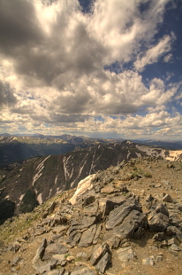
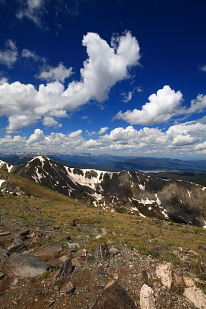
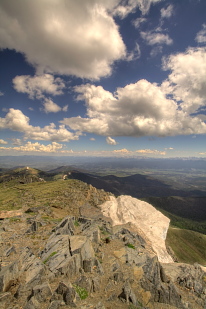
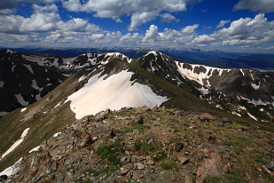
July 1, 2010 July hiking is beautiful in the Rockies. The air is heady and warm, yet snow still clings to the high crags and northern slopes, even as alpine daisies shine yellow and pink against a carpet of verdant green. Itís just such a scene Iím thinking of as Christine and I start hiking from the car parked in the Fraser Experimental Forest near Fraser, Colorado. It's 8:00. The morning sun glistens off the dirt road, sodden with morning dew, and steam rises from it like smoke. Pine and fir trunks crowd densely all around, most of the pines dead from bark beetle. The sound of the forest pervades: rushing water, mountain bluebirds, flapping jays. The trailhead sits just around the corner from where we park, but for the first mile, the route is just a continuation of the road to the old Byers Peak TH, which obviously once could be driven to, judging from the small parking lot. The road appears to be in good condition, and I think perhaps it is still used by the Forest Service. I donít know why itís closed off. Maybe it's too much work to keep dead pine trees off the road. In the deep shade of tall conifers, we hike briskly up in the cool morning air to the old trailhead, where the trail becomes narrow and steep, just as youíd expect a mountain trail to look. In spots, the trail traverses a very steep drop on the mountain, and it is from this section that we first see the grassy summit of Bottle Peak to the northwest peeking in through a screen of firs. Up we go along a spine of the mountain, switching back a few times before we hit a very steep and straight section that gets us some elevation really fast, albeit laboriously. Shortly after, we are at treeline, passing by a friendly woman who is out enjoying the mountainside on her own this morning. At treeline, Byers peak is instantly visible in the fervid sunlight with its triangular summit and lush green slopes of cushion forbs. Eroded in some spots, the trail is not hard to find, and follows the ridgeline right up to the top. Some spots require a bit of mild rock climbing, such that I donít think Iíd be comfortable with my dog on this hike. A few more steps, and weíre at the summit, which is a large flat area with exceptional views all around. Though itís not even a 13er, Byerís Peak elevation of 12, 804í places it well above any surrounding peak, though sharp-coned Bills Peak to the south comes close. In fact, itís 9 miles to a taller peak, which is really saying something in this area. We have the summit to ourselves, so we plop down right by the USGS monument and eat lunch, leisurely, enjoying the lack of wind and the wonderful temperature, as well as the awesome views. The Indian Peaks to the east shield us from the plains, and Longs Peak is visible in Rocky Mountain National Park, giving us a good idea of the outlay for the rest of the park. The Gore Range sits on the horizon 20 miles to the west, a beautiful patchwork of snow and rock. To the south, itís a bit vague. Lots of mountains, certainly, and so many itís tough to distinguish any particular peaks. We discuss Grays and Torreys, and think we find them, but neither of us are 100% sure. These are games hikers play on mountains: find the peak. Itís like constellation-watching. The solo hiker behind us enters the summit area, and itís about this time that we pack off down the mountain. We have thoughts of following the saddle back into the forest and coming out over near Bottle Peak, a minor peak that offers a little different view of the Fraser River Valley to the north. Just as we reach the trail post at treeline, a shirtless man appears out of the woods from that direction. Though there is no apparent trail, he assures us there is an easy-to-follow route. We take his word, and plunge into the woods, foundering for a few minutes, but ultimately settling in to a path marked with blazes and cairns. We end up above treeline again to the north, at Bottle Pass. The sky has turned threatening, with heavy dark clouds rolling in. Nevertheless, we decide to head uphill to the summit. I got a fever, and the prescription is more summit. We pass by a weather station, and thousands of old man of the mountain flowers, with large radiant yellow petals all facing the sun, lined up like directional satellite dishes. Closer to the top, we hear thunder grumbling in the distance and quicken our pace. Christine is reticent to continue, but I am in the clutches of summit fever and she encourages me to speed on to the top and she will follow if she feels OK with it. I like to stick with hiking partners, but itís clear that a mad dash to the top is required or there will be no summit today, so I flip it into 5th gear and motor up the slope, reaching the summit in about 10 minutes. A small rock pile marks the summit, and I sign my name to the little summit log in a jar, noting that Gerry Roach is one of the first signers (The same guy that wrote the 14erís book? I think so, how many Gerry Roaches can there be climbing Colorado mountains?) A ferocious thunderstorm is battering the Indian Peaks on the other side of the valley, and in the passage of the black rain shadow, there is snow on the high peaks. Man do I love Colorado in July. Luckily, this particular storm seems to be moving due north, and since Iím due west, it isnít a big concern. The dark cloud to the south, however, is. The smell of water is palpable in the air. I replace the summit log and begin descending the smooth, alpine slope when I see Christine over the last rise on the ridge, heading my way. I sit tight until she arrives and touches the summit, then we both move pretty quickly back down, slowing only when the safety of the tall fir trees is within reach. We take the Bottle Pass trail down through more dead and dying lodgepole pines. The rain we saw coming our way falls for a bit, but not even enough to soak my outer flannel. In short order, we reach the forest road that leads to the Byers Peak TH, essentially completing a loop at that point. The trail exit off the road is tucked away a bit, and we walked right past it earlier in the day without noticing it at all. We follow the road back down, hearing a dead tree crash right across the road just 75 yards ahead of us. Good reminder to never camp amongst dead trees! Weíre back at the car around 2:45, and well back into the town of Fraser before the torrential rain hits.
|
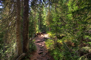
Trail to Byers Peak
|
