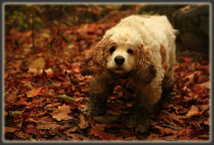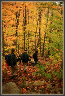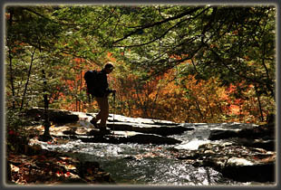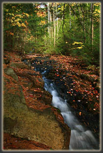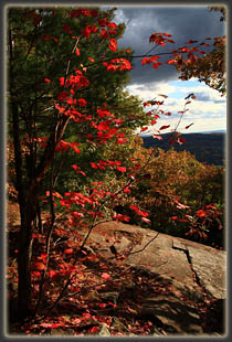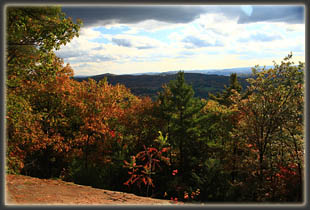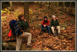
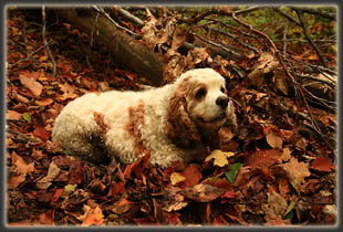
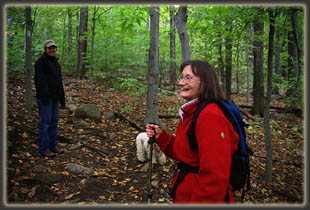
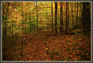
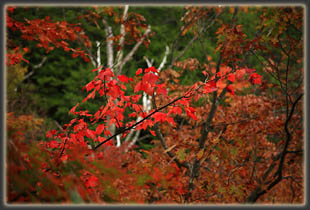
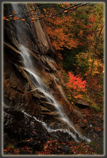
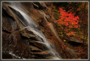
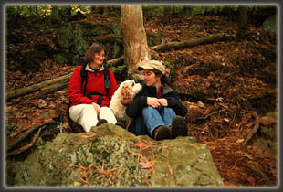
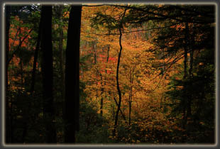
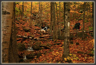
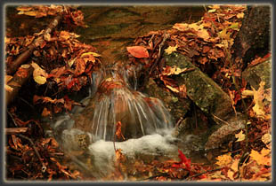
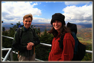
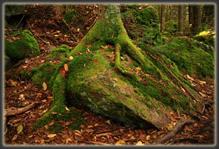
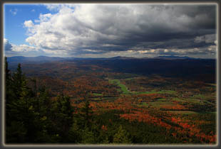
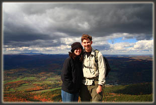
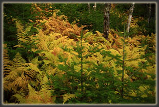
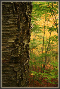
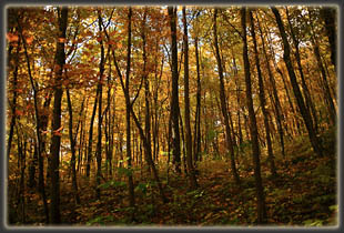
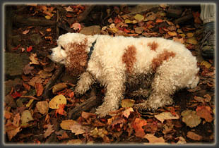
Weather: National Weather Service Forecast October 11, 2009 Under a cloudy sky we passed south of Mt Ascutney on Hwy 131, catching a view of the radio-tower-festooned summit and the south flank of the mountain adorned with harvest colors from red to brown in the trees. My mother of 31 years drove the car, while her dog of 10 years and my wife of 5 years lounged in the backseat watching a yellow, red and blue world whisk past the tinted windows. We pulled into the parking lot on the south side of the mountain and parked next to Mike, who arrived minutes before from Middlebury, departing at about the same time we left Goffestown, NH earlier in the morning. I put on my boots, as did Andra and we leashed up Yossel, a blonde cocker spaniel, for the hike. By 9:15, we were on the trail, heading north into a New England fall postcard. The day was very pleasant, with a morning temperature around 55 degrees, and though it was cloudy, frequent breaks in the clouds let in sunshine to brighten the colors. The forest was thick, and sported a variety of trees: white-barked birches with yellow leaves, gray-barked beeches with green leaves, towering white pine with feathery needles in slim fascicles of 5, red oaks with pointed, brownish leaves, hemlocks with sprays of dainty-needled limbs, striped maples with wide, yellowed leaves and of course, the showstopper, ridge after ridge of sugar maples with brilliantly-colored leaves in a kaleidoscope of red, yellow, orange, brown and green. Even the ferns were sporting a showy yellow hue. In our entire week-long New England trip, we hit the colors best in southern Vermont. Shortly up the trail, we let Yossel off the leash so he could roam a little, and he rumbled along the ground on his short, shaggy legs investigating smells here and there in the leaf litter. His hair is so long, he looks like a miniature wooly mammoth, or maybe a hedgehog. We came to a nice waterfall that crossed the trail, and stopped to admire the interplay between the rushing water and the yellow leaves dotting the rocks next to the stream. Very colorful. The trail was easy to follow, and was aided in spots by steps. Wet rocks and roots were occasionally slippery, and the trekking pole Mike lent to Mom kept her from taking a tumble more than once. Shortly after the falls we came to a deep gulch carved in the rock, and I hiked up the stream channel a hundred yards to see the waterfall at the head of the gulch. We reached Cascade Falls and took a side path downhill to see the falls from below, which is usually the better angle, I think. This one did not disappoint. Water slid down a near-vertical pitch of smooth granite for about 100 feet, ending in a mist cloud at the bottom among the red-leafed maples. Back on the trail, the group lost me every few hundred meters as I shambled off into the ferns to photograph the creek or some interesting tree formation. There was so much color, I was overwhelmed. Mike generously brought along molasses cookies and bagels for us, so we had a nice break halfway up where we took advantage of the tasty baked goods. Yossel was particularly interested in the bagels. We plodded along uphill, passing by a few nice rock lookouts, until we reached the summit. There are two humps that comprise the summit, the shorter of which has a nice metal lookout platform that provides almost unobstructed views of the horizon. Mom stayed with Yossel down below while Mike, Andra and I walked up the stairs to the tower. You can drive up near the summit of Mt Ascutney, then take a short walk to the tower, so that explains the large number of people up top. The sun was out, and we slowly made our way around the edge, with Mike pointing out Mt Mondanock in New Hampshire and Mt Killington near Rutland. The wind blew briskly, and a passing cloud sent a flurry of snowflakes down before the sun came out again. We descended and Andra minded Yossel while Mom and I went up to the platform to check things out. After the tower, we walked over to the true summit, which has a clearing of grass and rock from which several radio towers rise. We found a spot on some rocks in the sun for lunch, and ate sandwiches. We returned on the same trail that we ascended, taking a short side-trip to the West Peak hang glider launch pad, which provides really spectacular views to the northwest. We encountered lots of people on their way up as we hiked down, and I was surprised at how many people began this hike well after noon. Yossel slowed down considerably on the way down, to the point where each time we would pause on the trail, hed immediately find soft leaves to lay down in. He was one tired dog. We reached the car around
4:00 and decided to head north a bit to Lebanon where we ate at Lui Lui,
a great pizza place next to the EMS store. After the early dinner, we parted
ways and Mike headed east while Yossel, Mom, Andra and I headed back to
Goffstown.
|
 |
