Zimmerman Trail to Peak
9980
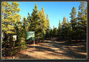
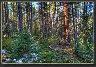
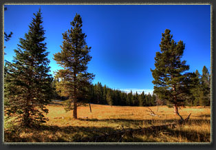
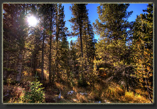
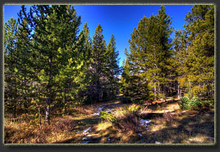
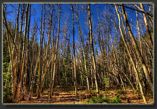
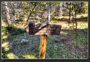
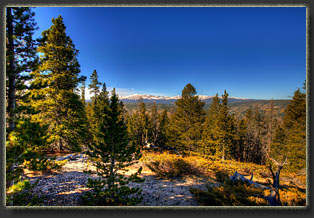
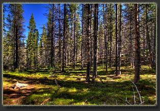
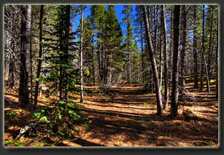
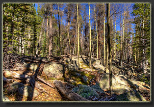
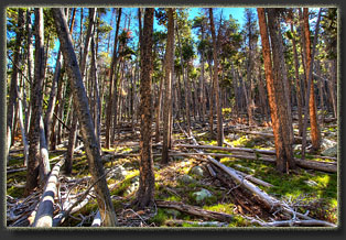
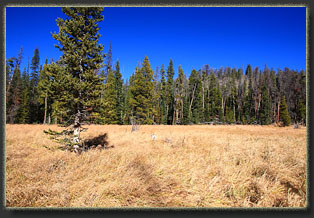
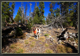
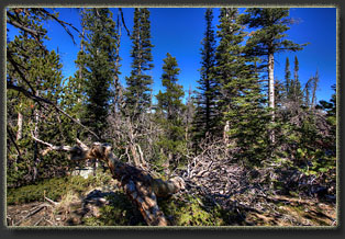
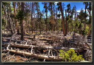
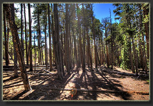
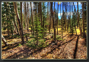
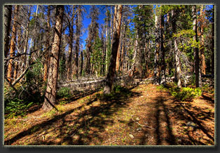
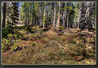
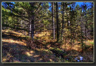
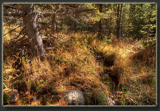
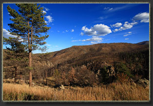
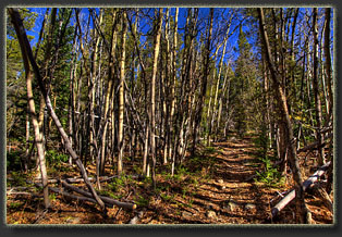
View Larger Map After a lengthy drive from Cheyenne, we park the Subaru at the Browns Lake TH and emerge from the car stiff and ready to walk. The sky is perfectly clear, the wind is behaving, and the temperature is sitting at 41 degrees. Couldnít ask for more. Henry leaps out of the backseat and bounds around the tawny grass of the parking area, almost frothing at the mouth with enthusiasm. I slip an orange bandana on his neck, a blue jacket over his back and after a few minutes of preparation, weíre off down FR142 at 8:15. Technically, I could drive this stretch, but the road is narrow, deeply potholed and full of water, and anyway itís more pleasant to walk. So we walk. The road leads downhill at a gentle grade through a thick lodgepole pine/ subalpine fir forest. Henry bounds ahead and I whistle him back. The problem is that he only seems to have two speeds: full stop and full gallop. The air is cool, but there is no wind at all in the trees. The orange fall sunlight lances in from the side, even at 9:30, making it feel like that wonderful time just after sunrise. In 2 miles we are at the Zimmerman TH, marked by a barely-legible trail sign, and a much larger green sign discussing Greenback Cutthroat trout in Sheep Creek, though it has recently been confirmed that all those decades of stocking the Greenback Cutthroat trout had actually been spent stocking Colorado Cutthroat Trout, with the real Greenback Cutthroat hanging perilously close to extinction in a single stream outside of Colorado Springs all that time. I stow my hat and gloves and we move on. The trail drops sharply downhill through thick lodgepole pine. Judging by the softness of the soil on the trail, it doesnít get much traffic. We reach a meadow of tall golden grass, then dip back into the trees for a short time before another meadow that must be crossed. The water is shallow in the rushes and reeds, but itís a good thing I have my boots on because sneakers would get wet here. On the west side of the meadow, the trail picks up again and we head south the appointed trail branch. Just before we cross the creek a second time, we find the trail intersection sign where Zimmerman Trail meets the Sheep Creek cutoff, only there doesnít appear to be an intersection. We study the map for some time, and even walk downhill a bit to the stream crossing to see if thereís any sign of a trail closer to the water. Thereís a large aspen grove near the creek crossing, and though the leaves have mostly fallen, the sweet smell of yellow aspen leaves fill the air; the quintessential fall mountain fragrance. I am sure that until my dying day, the smell of senescing aspen leaves will remind me of cool, frosty mornings along the Poudre. We finally conclude that we should head due north from this spot. So we do. GPS time. Thereís no sign of a path at all, but there is a clearing that suggests a route heading uphill. Now Iíll skip ahead a bit and reveal that this is in fact the Zimmerman Trail, but it is so little-used it has all but disappeared in places, and one of those places is, inconveniently, right at the beginning. You head uphill for 50 meters, and then you must take an abrupt 90-degree left turn to stay on the ďtrailĒ. On our return trip, Griff and I found a private property warning sign (warning that river access is blocked from here by private property) laying face down in the brush, and leaned it up against a tree, as well as placing several small logs in the shape of an arrow to point the way. However, none of those signs was visible on our way up, and we blew right past it. We continue on up the slope, and it is apparent that we are on no kind of trail at all. The terrain is benign, however, so this is no problem. We head generally north, and enjoy the forest sounds and fresh air. Itís very pleasant going. Henry seems pretty pleased, too. Later I learn that we are basically paralleling the Zimmerman Trail about 500 feet to the east. After 3/4 mile, we intersect the trail, and follow it north. For about ½ mile it is easy going, and very obvious, except for one segment where it crosses a grassy meadow and is not easy to pick up on the far side. Shortly after the meadow, the trail enters a very heavily-timbered area with fallen lodgepole pines laying around like pick-up sticks, and the trail is encumbered with its fair share of obstacles. Sometimes only one or two logs block the way and I can climb over, but often there are 10 or 20 logs blocking the trail and a detour must be found. Our progress slows significantly, but we head on, generally downhill now. We reach another small meadow and break away from the trail to the west, crossing the meadow, and then making our way northwest to Peak 9980. The section from the meadow to the summit of Peak 9980 is just ridiculously choked with downed trees. Itís a good thing Henry is a young dog because any dog with hip problems would be toast here. While I use both hands to climb over and under piles of logs, Henry jumps up and over trunks with surprising agility. We head uphill, trying to pilot the easiest route to avoid larger patches of logs, and finally, at around noon, we reach the unimpressive summit. Looking at a map, it appears that you will be able to see a fair chunk of the Poudre Canyon and surrounding terrain from this high point, and that would certainly be true if not for the intensely thick forest that blocks all but a hint of the surrounding terrain. Hoping for better views, we head west to a small bump on the same peak, but it has no better offering than the first. We sit next to the highest point there, amidst thick conifers, and have lunch. I notice Henry licking his paws and regret that I have not brought his little boots. His paws are tender, no doubt due to his urbanized lifestyle, and the pads have broken open in places. I wrap his front pads with gauze and tape, a solution that lasts less than 2 miles. We backtrack down the mountain, and return to the Zimmerman Trail at the meadow. The original plan was to hike on down the trail to the Poudre Canyon Ėwell, almost to the river; there is no public access there nowóbut the condition of the trail, specifically the riot of downed logs clogging the trail, convince us it might be more enjoyable to simply head back. It is too bad the trail is no longer accessible from the canyon, and no longer maintained. John Zimmerman built and maintained the Keystone Hotel along the river near Kinikinik from 1896 to 1946, and I suspect this trail once began near that structure. Itís interesting to consider that at three stories tall and 40 rooms, the Keystone Hotel was larger than any building in the Poudre Canyon today. Mary Hagen published a Poudre Canyon hiking guide in 1994 that still described legal access to the trail via the canyon, so itís not been very long that this trail has been cutoff. It would be nice to see it opened up again, as there are not that many trails in this part of the Poudre Canyon, the closest being Roaring Creek about 3 miles up-canyon, and Dadd Gulch about 10 miles down-canyon. We hike on back, following the Zimmerman Trail closely this time, despite the natural obstacles. The last mile or so before the intersection with the Sheep Creek cutoff is well-marked with trail blazes cut into large pines, but many of those pines are dead and falling over so this trail wonít be marked for long unless some work is done on it. Having missed the trail on the way up, Griff and I are both very interested to find out where it meets the main trail, and are surprised and amused to find how narrowly we missed it on our way up. We spend a few minutes propping up the sign and arranging small logs as an arrow to point the turn, and then weíre heading uphill towards the road above. Hiking in the Poudre drainage
on a calm, warm fall day is almost the most pleasant experience I know
of. The sky is absolute blue, the sun is orange and warm and the air is
calm as a whisper. Iím in no hurry to get back to the car, and we stop
often to sip water and snack on jerky and nuts. Henry is unfortunately
pretty unhappy about his paws, and takes every stop as an opportunity to
lick the dirt and pine duff out of the raw spots. We return to the car
at 4:00, with the temperature at this 10,400-foot parking area sitting
at a lofty 66 degrees, quite possibly the last time it will be this warm
at this spot until next May.
|
Zimmerman Trail
|
