| Location:
Hawaii, island of Oahu, north shore
Access: Take the Kamehamea Hwy about 2 miles west from Sunset Beach to a bend in the road at Waimea Bay. Entrance is signed, and obvious. Map: Itís all paved, no map is needed. Still, for the geographically-curious: USGS 1:24K Waimea. Google Earth has a fantastic overhead view of Waimea Falls. Fees: There is a daily fee of about $6, I canít recall exactly what it was. October 8, 2007
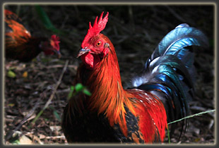
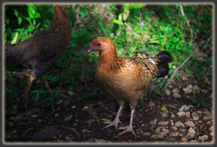
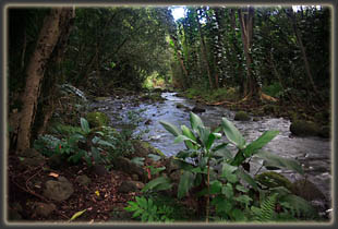
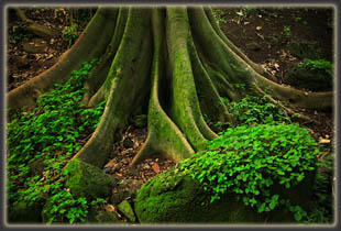
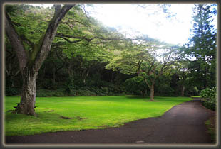
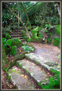
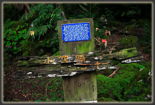
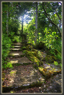
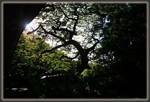
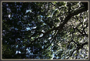
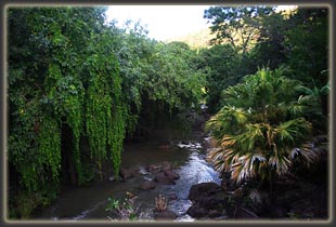
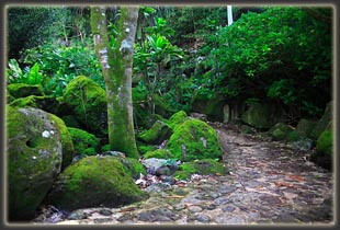
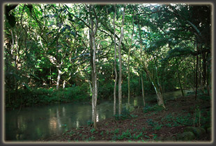
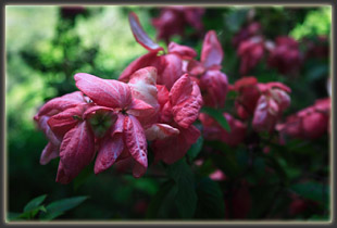
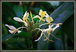
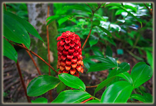
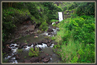
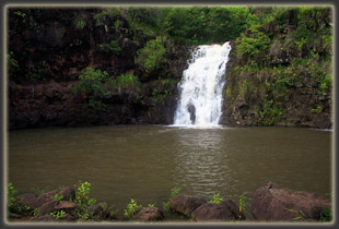
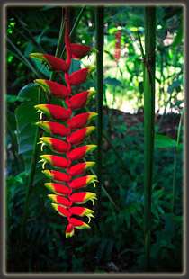
As I made my way south towards the falls, the sky clouded over and people seemed to thin out dramatically. I felt pretty much alone on the paved walkway, and enjoyed the solitude and peacefulness. I passed by native archeological ruins and interpretive signs, which made for interesting reading. The plants in the park seem to be divided up by region of origin, which was pretty neat. Also neat: wild chickens stalking the park. You donít see that just anywhere. When I reached the falls there were a few other people there. I snapped a few photos right before a couple of men jumped in and swam around in the waterhole. The water was ruddy brown and did not look inviting. I have a real hard time getting into water I canít see through. I know there arenít any big giant man-eating fish in there, but all the same, I canít bring myself to hop in. I made my way slowly back
towards the entrance, and found when I got there that the park had closed.
It was still bright and sunny out, but it was a Sunday, and they close
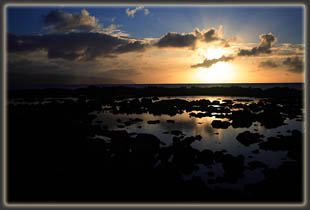
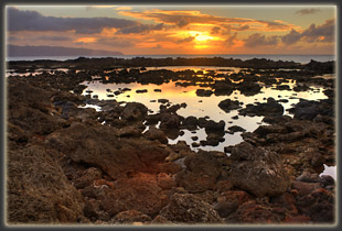
pretty early on Sundays. I tarried at Sharkís Cove and Sunset Beach for
quite some time, hoping for a nice sunset. I was rewarded with a nice golden
glow as the sun sank into the clouds beyond Kaena Point. Very nice end
to a great day.
 |
 |
