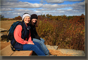
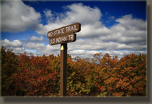
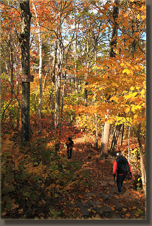
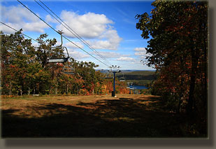
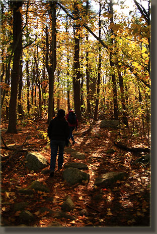
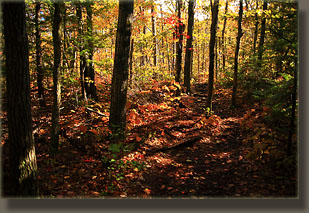
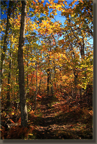
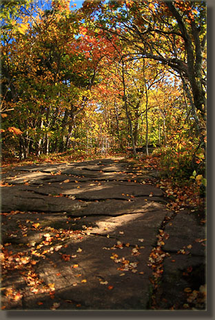
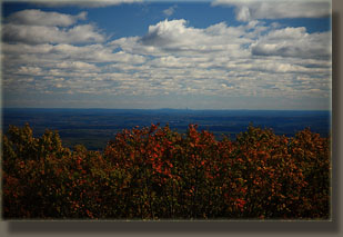
October 14, 2009 The trailhead was not easy to find, but after slowly cruising the south side of the empty ski area parking lot, I saw a trail heading into the woods near a utility building. Not the most scenic start to a hike, but the trees were so thick, I figured we’d lose sight of the ski lodge, parking area and utility buildings in no time. We parked nearby, and Andra, Mom and I began the hike around 8:30. We started out heading up the Balance Rock Tr through beautiful fall-colors. The wind was brisk, and the temperature hovered around 45 degrees, but it was clear and the sun helped warm things up a bit. In about 1/3 mile, we came to the Balance Rock Rd, a narrow gravel road that is gated, so there are no cars that drive it. The trail dumped onto the road, and it wasn’t immediately clear which way we should go to continue. I walked east while Andra and Mom walked west, and they found the trail about 100 yards along. We picked up the Old Indian Trail, and walked south up a gentle grade through a nice variety of striped maple, sugar maple, beech and red oak. Some sections of the trail had large hemlocks, but mostly the forest was made up of hardwoods. Ferns, yellow with the season, covered the ground. In no time we came to the Semuhenna Trail junction, and took it to the west. Parts of this trail were very wet and mucky, so I’m glad I wore my boots. We crossed the Up Summit Road, following white footprints painted on the asphalt at a diagonal to get to the trail on the other side of the road. A little farther on we encountered the road again, but turned left and followed the West Side Trail to reconnect with the Old Indian Trail. From there we headed southeast up a steeper grade along a natural paved walkway made by a seam of rock, worn smooth and flat. Around 9:30, we neared the summit, where a large lift building sat. Continuing on uphill just a bit we came to a large parking lot atop the flat summit. A radio tower and a control building flanked the parking lot. It was windy and cool, and I had to put on the jacket I had put away halfway up the mountain. We found a bench on the east side of the summit where we could sit and see the Boston skyline, some 40 miles away. So much history around here. I could imagine some farmer sitting in this very spot, watching the canons explode over Boston during the siege in 1775. Mt Monadnock in New Hampshire was clearly visible to the north. After taking in the view for a while, we retreated to a grouping of rocks near the trail and ate lunch. Many people came and went in their cars, and a school bus loaded with children came up, its 10-year old passengers spilling out onto the summit in all directions. After lunch, we scooted back down. The return trip was a bit different, as we opted to take the Old Indian Trail the entire way down to Balance Rock Rd. This resulted in several crossings of ski runs, still snow-free and green, and a slightly shorter trip back that took just under an hour to complete. |
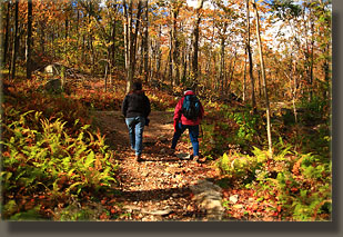
Starting out on the Balance Rock Trail
|
