Tillamook
Head
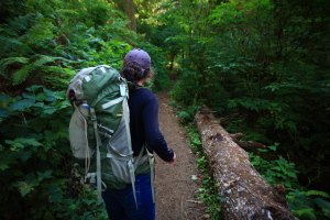
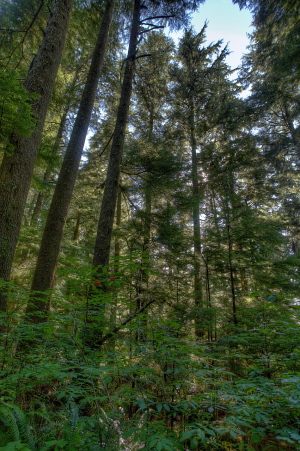
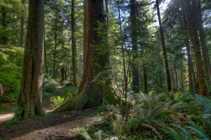
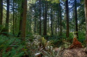
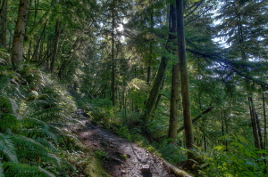
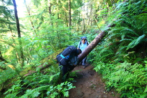
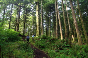
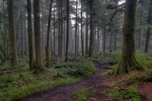
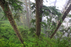
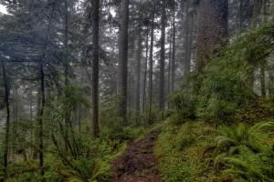
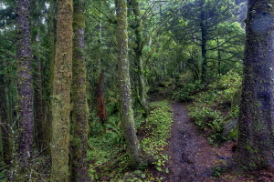
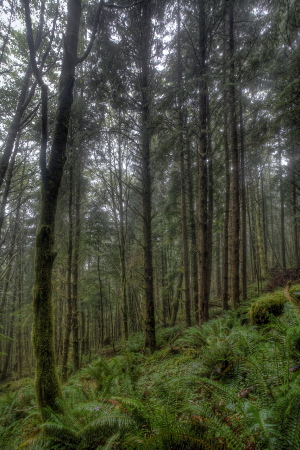
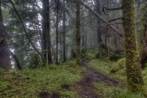
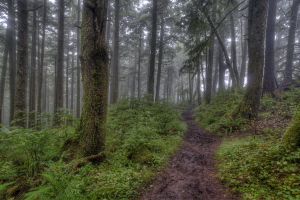
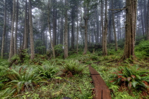
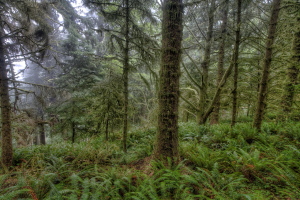
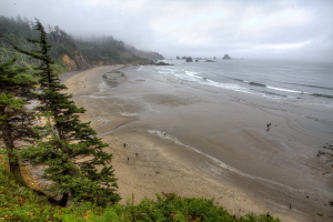
View Larger Map Cannon Beach, Oregon. 2 PM. Mike is driving the rented Ford Explorer through the quaint and bustling tourist town of Cannon Beach, listening to Siri explain how to get to Ecola State Park. The signs are not frequent, but we eventually reach a road on the north side of town that points the way northwest to the park. Itís sunny and breezy. We reach the brimming parking lot at Indian Beach and find a spot near the back, then walk across a parking lot that I suddenly remember walking through previously, probably in 2009. A shaded trail spurs off from the parking lot through a short stretch of forest before reaching a steep staircase that leads down a dozen feet to the sand. The beach is dotted with people, some are flying kites, some are wading, but most are simply sitting around, enjoying the warm sand and the chilly breeze. Giant driftwood logs are piled in a jumbled heap at the treeline. Rugged sea stacks dot the surf, white water flailing against their black, volcanic mass. We discuss the ďNo Overnight ParkingĒ sign posted in the parking lot. The brochure I have in my hand says this is the designated overnight parking lot for the hikers camp up the trail on Tillamook Head. Confused and a bit worried about our plans for the night, Mike and I leave Andra and Mandy at the beach, and drive the mile up to the guard shack. From the car, we discuss the brochure with an unfriendly park ranger, and he points out it is outdated by a couple of years, and they no longer allow overnight parking inside the park. He suggests parking in town and hiring a taxi to drop us off at the trailhead, an idea that satisfies neither Mike or I. Back at Cannon Beach, the four of us huddle to discuss options. I flag down another park ranger, this one quite a bit nicer than the first, and after hearing my story she suggests parking at the north end of the park, in Seaside, and hiking south from there. We all pile into the Explorer and drive. I stop again at the guard shack to talk with the unfriendly park ranger, but I put on a big tourist grin and saunter up to his window to talk about parking in Seaside. He agrees this is valid, and as he softens up a bit, he suggests I drive by the Seaside police station and tell them Iím going to park at the TH overnight. He even gives me a free Ecola State Park postcard. We drive to Seaside, find the police station and I walk in and talk with a few people at the front desk about our plan to park overnight at Oregon Coast Trail parking area on the north side of Ecola SP. They know exactly what Iím talking about, and take my name and license plate in a way that indicates this is a standard procedure. They sky is clouding over as we find the TH, hidden at the end of a quiet little street flanked by new condos whose owners seem to be trying all they can do to hide this parking area. Itís almost 4:00, and we all feel an urge to get moving and get to camp. From the north TH, itís over 4 miles to the Hikers Camp, which I expect to take at least 2 hours to reach. We pile gear into bags, lace on boots and weíre off. The sun peeks out as we start up past the trailhead sign, and itís really very pleasant hiking through a dense, lush forest filled with ferns, thimbleberry, mossy-trunked alders and towering spruce and Douglas fir. The trail is very wet and sloppy, and this slows us down considerably as the trail grade increases and we begin to haul up switchbacks that will take us up almost 1000 feet above the parking area. The air is humid, and though weíre all sweating up the slope, Mandy is throwing out buckets of sweat, an apparent genetic adaptation to growing up in Alabama. Onward and upward, over downed logs and skirting deep mud pits in the trail. I find we are only making about a mile an hour, and have little chance of making it all the way to hikers camp tonight. We reach the ridgetop and can hear, but not see, the ocean far below. The smell of salt is strong and pleasant. We all keep our eyes peeled for suitable campsites and continue along the verdant path, plucking blueberries from the bushes that line the trail. We check out a couple of potential sites as we hike along, until we note that the ridgeline is descending and the trail seems to be getting steeper and wetter. In some parts, wooden planks form a sort of boardwalk through apparently perennial pools of mud, which is puzzling since we are hiking a ridgeline. I wonder to myself, ďWhy doesnít the water run downhill to the ocean?Ē The answer comes to me: It does, and more comes to replace it just as fast. We are in a temperate rainforest, after all. We turn back and head towards the first potential campsite we saw. Nearing it, Andra finds a faint path leading off the trail to the east, and follows it into a hemlock grove so thick there is no living underbrush except an occasional patch of moss. She disappears from view for a minute, then returns from the hemlock grove and announces sheís found a good spot. And so she has. We follow her through the dismally-shadowed hemlock grove, past a strip of thick red alders beyond, into an open clearing about 30 feet across that is mostly flat, and covered with gravel and a scattering of low grass. From this clearing, a two track runs steeply down through the woods to the east, and a land survey monument sits near the middle of the clearing. This monument is noted on the USGS quad map at around 1150í. The spot is head and shoulders better than anything else weíve seen, so we immediately set up camp. We enjoy a no-cook dinner of sausage, crackers, and cheddar cheese (Tillamook, of course), and add additional layers of clothing as the evening cools down. As dark descends near 9:00, we retire to tents and good eveningís rest. August 8 2013
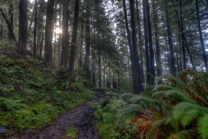
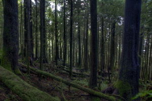
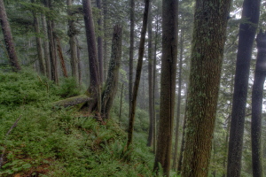
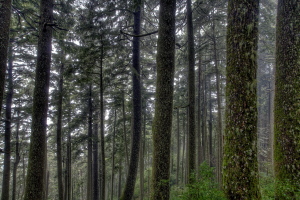
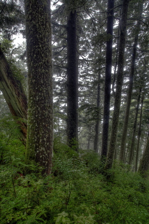
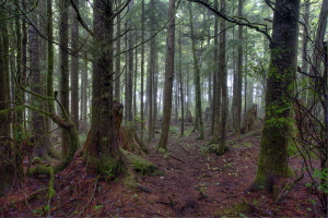
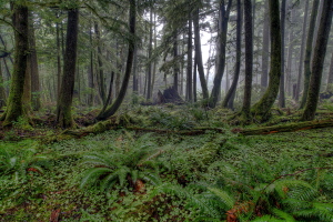
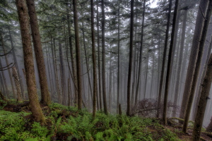
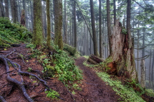
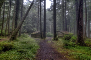
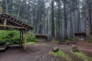
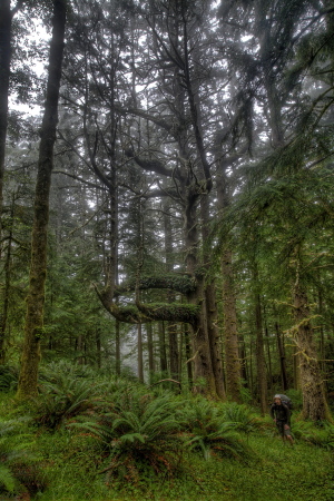
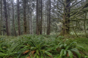
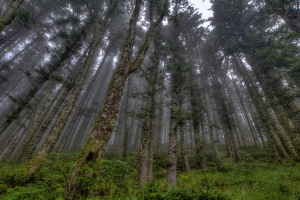
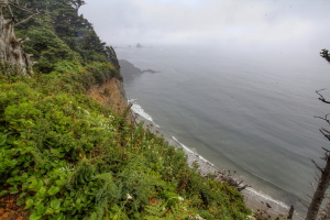
I wander into the woods to the west to photograph the dark hemlock grove, so dark and dismal it reminds me of Tolkienís Mirkwood Forest. In some spots, absolutely nothing grows on the ground. As I head closer to the trail, wood sorrel and moss find spots to grow and further towards the light, ferns grow. On the west side of the Oregon Cost Trail, the terrain plunges away on a slope too steep to climb down, towards the ocean below. The sound of waves crashing filters up through the fog and trees over a thousand feet to where I am standing. I snap photographs all around with a tripod and shutter speeds 30 seconds long. Itís beautiful and a bit dismal all at the same time. I am not eager to head right back to the car, and someone floats the idea that I hike south to Indian Beach, now about 4 miles away, while the rest of the gang heads back to the vehicle, grabs coffee in Seaside, and picks me up down south. I agree. At about 8:15 we part ways and I head south alone. I pass by a thick patch of blueberry shrubs for the second time, and snack as much as I can without stopping completely. Then I head down a gentle grade and the trail gets much, much muckier. I am wearing GoreTex boots and glad of it, because the slop is unavoidable. Hikers have placed logs and conifer branches in the trail to firm it up, but to little avail. I find the mostly-submerged logs more of a hazard than the mud itself, and after the first 10 mud pits, I simply steer clear of them. It rains lightly off and on, and I keep my rainjacket on the entire time, holding my camera inside my jacket to keep the drizzle off. In the thicker parts of the forest, I donít feel any rain at all. The trail often winds right along the edge of cliffs, and certain portions are roped off with steel cables to prevent falls. I take every chance to look out from these viewpoints, but at all of them I am greeted with only a thick bank of fog that forbids any view of the ocean. I can hear the waves crashing far below, but I can never see them. One day I am sure I will come back and hike this trail on a clear day, when the view out to sea will be unfettered. The massive trees line the trail continuously, though I can see evidence of logging here and there. Occasionally, the trail passes by stumps of much larger girth than any tree standing, and I think what a shame it is that none were apparently spared the saw a hundred years ago. The brochure mentions that Lewis and Clark hiked this very trail in an effort to retrieve some whale meat from a beached whale they heard about from the locals. As I walked along, I tried to imagine what the trail wouldíve looked like over 200 years ago, and couldnít. I suppose there would have been fewer, larger trees, but I have no real evidence for that. After 1.5 hours of alternating between a quick pace on firm trail and a snailís pace through the mud pits, I reach the Hikers Camp at the bottom of a series of switchbacks. Itís elaborate, with 3 enclosed sheds for sleeping, an outhouse, and a covered picnic area with tables. Itís nestled amongst massive spruces. All the sleeping sheds are occupied as I walk through the center of the compound. From behind the black canvas curtain over the door of one of the sheds, I hear quiet, intermittent male laughter from within. In the gloom and quiet of the deep forest, the laughter is a bit odd and chilling, actually. I head straight for the picnic bench, and set down my pack for a bite to eat. Gnawing on the block of cheese, I notice the curtain on shed 2 move, and a woman pokes her head out, then immediately withdraws. Two hikers appear on the trail, having come up from Indian Beach. They are on their way to the lookout, though the fog is as thick as ever. After several minutes, I move on. There are two routes down from the Hikers Camp, one is a trail and the other is an access road used to bring firewood to, and remove trash from, the camp. I walk the trail south, which is a stretch far-better maintained than that over the high ridge of Tillamook Head. Even so, in the gentle drizzle, I find my feet slipping frequently. Near the beach, I actually slip up entirely, and fall on my ass, crushing my fingers under the metal tripod I am carrying as I throw my hand out instinctively to break my fall. Fortunately, my hands are so chilled from the damp breeze that I hardly feel it. At 10:30 I reach Indian Beach, and spend a minute shuffling my feet in the cobble of Indian Creek to rinse off the inches of mud caked to my boots. I reach the parking lot, and take a quick walk down the row of cars to ascertain if my group is already here. Not seeing the car, I walk back to the beach and read the informational sign about Lewis and Clark that sits near the outhouses. Within minutes, Mike, Andra and Mandy arrive, with coffee, and we head south to have lunch at Ecola Point before heading to points south.
|
  |
