

| Location:
Lory State Park, west of Horsetooth Reservoir and Fort Collins, Colorado
Map: Area is covered by the USGS 1:24K quad Horsetooth Reservoir, but state park trails are not shown on my 1975 revision. Lory State Park offers a free brochure map that is of minimal navigation value: dotted lines represent the general trail direction, but specifics such as switchbacks or map scale are absent. Access: From Fort Collins, take Hwy 287 north to the junction with Hwy 14. Rather than follow 287, go straight through the stoplight on CR 54G through LaPorte. At Vern’s Restaurant, turn left on CR 52E. Enter Bellvue, and turn left (south) on CR 23N. Pass Bingham Hill Rd (which leads to Overland Trail) and continue south to the first right which is 54G. A sign indicates to turn here for Lory State Park. Follow 54G around a curve to the left, then turn left into Lory State Park. Visitor Center is on the right. Trailhead: NAD83 zone 13 484412e 4493091n Elev: 5798' Trail: We took the Timber Trail up to the loop around the backcountry camps, then back via Wells Gulch and West Valley Trail. Distance…very vague in State Park literature and not shown on USGS maps….I estimate 5 miles for the loop. Start at ~5,420’, gaining a high point of around 6800’ before heading back down. Fees: $6/vehicle/day or $60 annual pass Dogs: Allowed if leashed Webcam: CSU Foothills campus Weather: Current and recent conditions NWS Forecast 
February 11, 2008
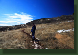
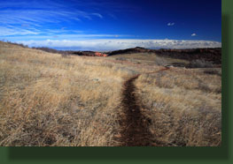
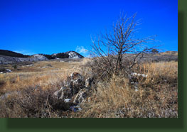
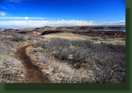
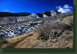
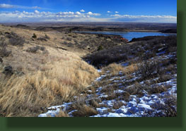
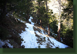
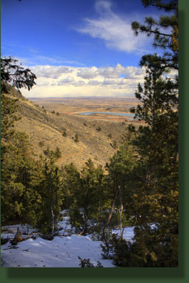
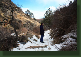
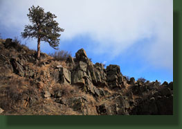
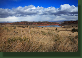
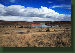
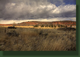
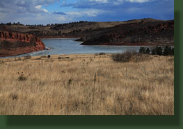
Lory State Park is a 2,400-acre parcel of land that sits between Horsetooth Reservoir and Roosevelt National Forest northwest of Fort Collins. It was purchased in 1967 from a ranch, and named in honor of Charles A Lory, president of then Colorado A&M (now Colorado State) from 1909-1940. The Timber Trail starts off in Soldier Canyon, which forms much of the northern border of Lory State Park. Soldier Canyon is a short but steep and deep canyon that once fed into the Poudre River, but now feeds into Horsetooth Reservoir. Soldier Canyon Dam is one of 4 dams that created Horsetooth Reservoir in the 1950’s. The first part of our walk took us across open grassland with scattered mountain mahogany, all dormant on this late winter morning. The blue frozen expanse of Horsetooth Reservoir to the east set off the red rocks of the hogback rock formations. Cracks in the ice that have caught snow look from a distance to be whitecaps on a liquid lake. The trail had a very shallow grade, and even after several switchbacks and hundreds of meters, we had hardly gained any elevation at all. In fact, 15 minutes of walking brought us right back around to a spot only about 100 feet above the parking lot, where our car sat all alone. I felt like the trails could easily have been more aggressive, but this is noteworthy for folks who like a very gentle stroll. We continued upward, slowly, switchback after switchback, sometimes crossing what appeared to be an older (and more direct) trail. A few of the northern switchbacks afforded nice views into the craggy bottom of Soldier Canyon. Wind howled across the open grassland, and both of us went through several gear combinations until we settled on the right balance of warmth and ventilation. The sun warmed us up, but the wind froze the sunless side. Hard to get comfy. The trail wound south around a gentle bald ridge, then sunk west into Wells Gulch where it intersected the Wells Gulch Trail, and then went into the shade of the Douglas fir / ponderosa forest on the north face of the gulch. We crossed a bridge over the frozen trickle in the bottom of the gulch, then began slowly negotiating a set of 4 or 5 switchbacks that were coated in thick ice. I had a pair of ice cleats, so we each put one on a foot and slowly crept along. I still wore bandages on my hand from gashing it on ice during a fall in Dadd’s Gulch the day before, so I was extra wary. The warm weather had melted almost all the snow on either side of trail, but the trail itself was packed ice, and frozen still. After the 4th switchback, we decided we’d had enough of the tedious walking, and simply walked straight uphill towards the ridgetop. We didn’t encounter the trail again on our way up, which culminated in a rocky ridge with views of Ft Collins veiled by conifers. On the ridge, Andra found a lens cap exactly like the one I lost in Hawaii 4 months ago. Excellent. We began walking north so as to intercept the trail and follow it down, and after piling through a calf-deep snowfield, came upon it where it takes a sharp turn right before the first backcountry campsite. We debated continuing on to the north along the trail, but only briefly. Flurries had begun to fly from nasty-looking clouds to the north, and we knew the walk back would be slow and tedious on the ice. It was. We went slow, relying heavily on the one foot that had an ice cleat, and holding onto tree branches as much as possible. Because of the 50’F wind blowing down through the trees, a thin layer of water on the ice served to make things extraordinarily slippery. Nevertheless, we made it down all the switchbacks and to within sight of the bridge before either of us took a tumble. Luckily, nobody was hurt. We decided to take Wells Gulch down towards the main road, and enjoyed the narrow rocky canyon quite a lot. The sun came out after the flurries and it grew nice and warm in the bottom of the gulch. That opened up onto the grassland again, and we took the West Valley Trail north towards the car. The West Valley Trail was mucky clay soup, sucking at our boots with every step. After a few hundred yards, we determined we’d make better progress (and save the trail from gaping boot-sized pits) if we just took the road. We walked across the grass about 100 yards to the road, and followed that north to the Timber Trail parking lot, arriving around 12:40. The sky was clouded up by the time we got there, and the wind was whipping furiously. We drove out of the park and headed east to Ft Collins, watching the snow envelop the foothills behind us, where we had been not 30 minutes before. We ate lunch at Rasta Pasta while a blizzard flung wet snow on the pavement outside for 20 minutes. Good timing on a nice hike. I would much rather have not encountered such an icy trail, but you have to make some sacrifices if you want to hike mountains in February. |
 |
|
More nature pics at: 
Page created 2-11-08 |