

| Location: Medicine Bow National Forest;
Snowy Range, Wyoming
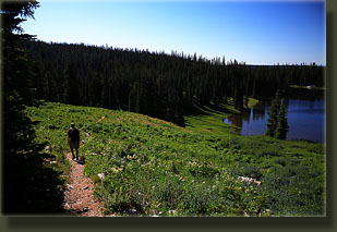
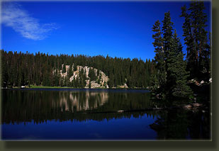
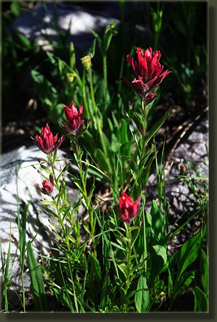
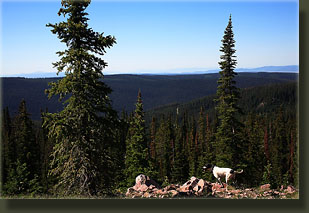
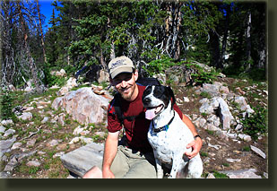
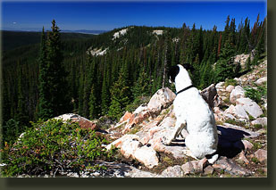
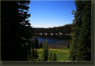
Maps: USGS 1:24K Quad ‘Medicine Bow Peak’ shows the area, but not the trail itself. Access: From Centennial, WY, drive 16.2 miles west on Highway 130 to a parking lot on the south side of the road. A large sign reads Wyoming Wildlife, and the smaller trailhead sign sits on the west end of the parking lot. The parking lot is just 2.1 miles past the Lake Marie parking area. Trailhead: NAD83 z13 386958e 4574500n elev: 10,640' Trail: Easy 3.5-mile loop through meadows and forest to a small cascade, well marked. Fees: None Dogs: Voice control Webcam: Arlington Interchange, 30 miles north Weather: Current & Recent Conditions Snow conditions NWS Forecast July 4, 2007 I hiked this trail on a clear and sunny morning with Andra, Frank and Makenzie. We started at the trailhead on Highway 130 west of Lake Marie several miles, and followed it downhill to Silver Lake, where two men in belly boats were fishing. Water ran in rivulets through the mossy meadow leading towards the lake, and the trail was muddy and in many places pooled with water. Mertensia and marsh marigolds took advantage of this moisture, and were blooming in abundance. In the dryer sections of the trail, Indian paintbrush dotted the slopes with red flares of color. Giant white snowdrifts still hung on in the shadows of giant spruces. After skirting around the east side of Silver Lake, we walked south through a cool, dense forest of spruce and fir, gradually gaining elevation to a nice rock outcropping complete with a half-log bench where we sat for a several minutes admiring the forest view. Patches of clear-cut, in various stages of recovery, dotted the hillsides to the south. It was a hazy day, but far away we could see the snow-capped peaks of the Stormy Peaks in Rocky Mt National Park. Just beyond this viewpoint there was a pond with another half-log bench. We stopped here only long enough to throw a stick into the water for Makenzie to retrieve, and then we were off. At the southernmost point of this loop hike, a 600 ft spur trail leads south to Meadow Falls, a cascade of water down a grassy slope that was pleasurable to look at, but hardly qualifies as a falls since nowhere does the water fall more than a few inches at once. Nevertheless, we enjoyed the half-log bench set up before it for several minutes before hiking back to the main trail, and then north. The trail led through several large grassy meadows that were brilliantly green in the sunlight, with interludes of cool, dark spruce forest in between. Before we knew it, the old campground was peeking through the trees, and shortly after, we were back at our car. The entire hike took about 2.5 hours at a leisurely pace, and was an extremely easy and relaxing walk. |
 |
|
More to see at LandscapeImagery.com Comments |