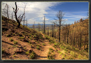
Sheep Mt
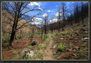
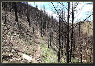
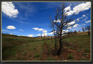
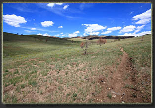
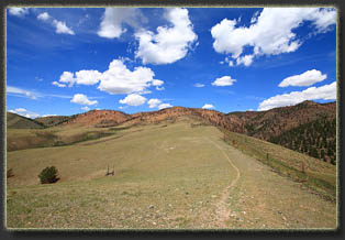
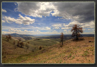
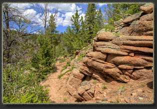
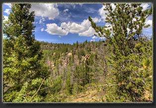
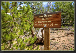
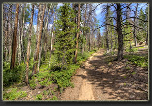
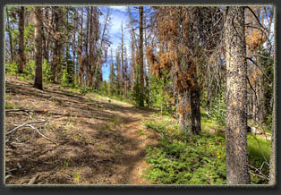
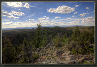
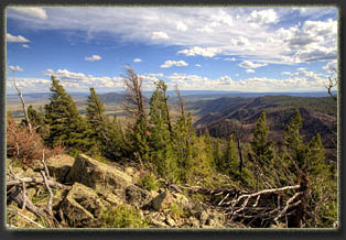
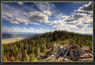
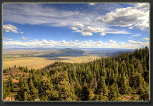
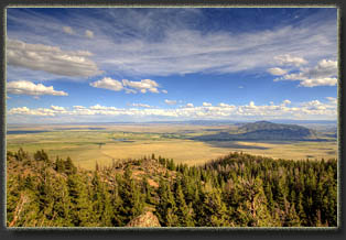
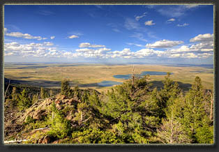
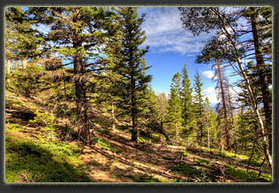
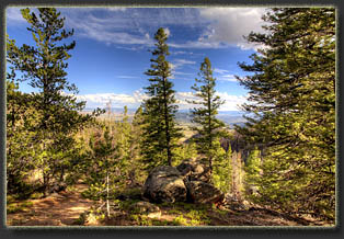
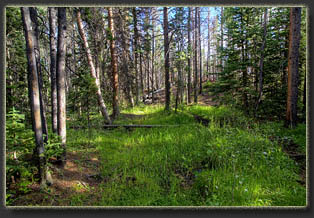
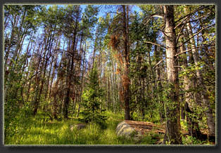
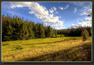
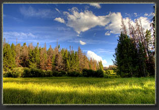
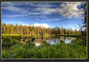
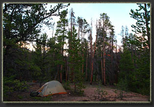
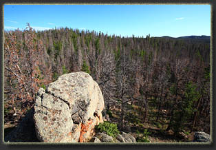
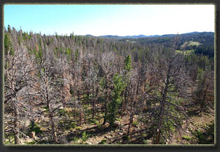
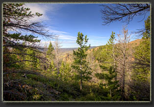
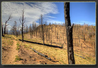
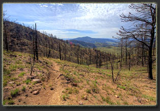
One hundred years ago, there were approximately 5 million sheep grazing Wyoming range, so it is not surprising that virtually every mountain chain in the state has a “Sheep Mountain” within it, just as you can be sure to locate within virtually any mountain range a Blue Lake, a Bear Lake and something labeled “Twin” (Twin Lake, Twin Butte, Twin Mountain, etc.). The Sheep Mountain of today’s topic is a large massif stretching over 10 miles north to south just west of Laramie. Rising over 2,000 feet from the surrounding plains, it sits out by itself from the Medicine Bow Range, a thumb of rock pointing north between Centennial Valley and the Big Hollow. I’d been meaning to check it out for years, and finally did so a decade later than I should have. I missed the heyday of Sheep Mountain by at least ten years for 2 reasons. The southern fifth of the mountain burned in the July 2012 Squirrel Creek fire, completely wiping out the forest inside the fire perimeter. More significantly, the entire mountain is heavily impacted by mountain pine beetle, in some of the highest mortality I’ve seen. This is lodgepole and limber pine country, and both species are very susceptible to mountain pine beetle, especially under the recent drought conditions of the last decade. Well over half the conifers on the mountain are dead, and yes, it’s a natural cycle of renewal and regeneration, blah, blah, but in the end I conclude that it’s ugly to see so many dead trees. So, with the landscape diminished from what it was a decade ago, I finally got around to checking it out in the first days of August 2013. The first obstacle was finding the trailhead. I drove up and down dusty Fox Creek Rd a few times, consulting my topo map, wondering where the trailhead was, and finally found it in a burned out gulch with massive erosion. The trailhead sign was burned, laying on the ground (and thus of little navigational aid), as were the fenceposts along the road. The only sign that I was in the right place was the faint cut of the trail leading up the gulch, easily visible since all vegetation had been torched. I parked my car nearby in the swath of a grader that had recently cleared the road of a mudslide that came down off the denuded hills. I made sure no rain was predicted before parking there! It was a hot, dusty afternoon. I began hiking around 1:00. The trail up the first gulch was packed with blackened pine trees and heat-cracked boulders lying in sharp shards. At one point I can imagine this was an exceptionally shaded drainage. No longer. Green grass and rabbitbrush grew in patches, but that did little to mitigate the devastating look to the place. Each step kicked up black soot and my boots were soon ashy. The drainage to the north of the trail was choked with ash and mud, and I could see how every rain shower would bring tons of soil off the mountain. I’ve read that the current Rocky Mountains are at least the 4th chain of high mountains to exist in this area. The previous ranges, no less impressive than current, all washed and blew away over millions of years, just as these mountains are slowly wearing down before our eyes. There go the Rockies, down the River. I walked quickly, eager to put this area behind me. Heading up out of the drainage towards the ridgeline, the terrain opened up. Grass covered almost everything with green, with the occasional limber pine skeleton confirming that the fire had passed through. Sagebrush, incapable of resprouting after fire like most other shrubs, were conspicuously absent. At the 1 mile mark, I reached the aqueduct that funnels Rob Roy Reservoir water 50 miles east to Crow Creek at Vedauwoo Glen, from whence it is drawn through a combination of natural creeks and aqueducts another 30 miles to Cheyenne, Wyoming’s largest city. The trail followed the ridgeline just west of Fence Creek. Wind whipped over the rounded grassy ridge, tugging at my hat until I simply took it off to avoid losing it down the slope to the east. In the lee side of the ridge, arrowleaf balsamroot grew profusely, though I had missed bloom by at least a month. The trail led squarely back into burned forest at the 2 mile mark, with gravelley, shifting soil under blackened tree trunks. By the 2.5 mile mark, I was finally walking amongst green trees: Douglas fir, limber pine, lodgepole pine, some spruce. I sat on a rock and took my pack off, sipped some water, and enjoyed the first shade of the hike. Moving on north, I soon encountered a trail junction with a second trail the comes in from the west. I don’t know much about that trail, though it seemed wider and more heavily used than I the one I took in from the south. Also around this time I noticed a manmade canal lining the trail, funneling water away from Fence Creek. Fence Creek itself surprised me by its lushness. The creek is not just a strip of water amongst trees, but rather a 100-meter wide marsh of slow moving water and beaver ponds surrounded by tall grass and willows, virtually impassable. My concerns about adequate water supply were quickly put to rest. I followed the trail north through thick woods that were heavily impacted by pine beetle, searching for a likely spot to strike off the trail and make camp. I passed by several previous camps near the trail, but they were so surrounded by dead timber I chose to keep going…nothing like laying in your tent wondering if a tree is going to come crashing down on you in the dark. Near a particularly large beaver pond, I left the trail and walked upslope to the west to where the trees were much shorter and more alive, and pitched my tent on the flattest ground I could find, which, over the course of the following night, I decided wasn’t very flat. Nevertheless, it felt pretty good as I laid down and took a short nap. Ironically, as I lay dozing, I heard a tree crash down in the thicker woods closer to the pond, where I had decided not to pitch my tent. The other advantage to my chosen location was that it avoided the thick mosquito swarms present near the ponds. After shedding non-essential gear, I picked up the trail again and continued north, crossing a tributary of Fence Creek, and promptly losing the trail. I scanned around for 15 minutes looking for it, and finally picked it up again. It’s very faint in this area: The tricky area is 100’ north of 3 distinct pits east of the trail (old mine test pits?), where the real trail turns right faintly, but an eroded draw that looks like the trail continues on downhill to the drainage. After getting back on course, I followed the trail northeast through more of the same Douglas fir-lodgepole-limber pine forest until 4:30 when I reached a point on the trail, 6.2 miles from the TH, that lies perpendicular with the high point of Sheep Mt. Though ten miles long, there are only two summits on Sheep Mt, with none of the other summits exhibiting an intervening 300’ drop from these two points, which are Sheep Mt at 9,620’and Sheep Mt North, at 9,550. (Sheep Mt North is on a state section 5 miles north of Sheep Mt. It, too, sits some distance off the trail.) Here’s where the GPS came in handy. Walking east though the dense forest, I used the GPS to keep my on track, as I contoured around two sub peaks and closed in on the high point. Rocky on top, and windy, the high point nonetheless afforded a fantastic view to the south of the imposing east face of Sheep Mt, the face that most drivers see as they drive south on WY 230 from Laramie to Woods Landing. The Snowy Range gleamed to the west, and Laramie Peak dotted the horizon to the north. Trees blocked my view to the northeast, so I descended to a bald subpeak to the northeast where I could look down on Lake Hattie, and the Big Hollow beyond. The city of Laramie was barely visible, so tiny in the great expanse of plains surrounding it. Jelm Mt stood to the south, and the Mummy Range is Colorado was easily visible. Outstanding view here. I tarried for quite some time to enjoy it, and even called Andra at home with excellent wireless reception to talk about the hike. I retraced my steps back to the trail, and from there back to camp, arriving at 7:00. I filtered water from the pond, and ate a quick dinner of cheese, crackers and beef jerky, foregoing cooking to save weight. I sat against a smooth granite boulder and read a novel until dark fell, then I crawled in my tent and slept fitfully. Not sure why, but it was one of the worst nights sleep I’ve ever had while camping. The slope of the tent? The crinkle of my new ultralight Thermarest mattress? Not sure, but I was glad when the sky lit up in the morning and I had an excuse to get out of bed and get moving. I carried my Pop Tart and water with me to an outcropping west of camp, where I could get up high on the granite boulders and take a look around. I sat in the still air of morning and scanned the horizon. The most striking feature were the dead trees. It’s hard to ignore them, as they are orange with dead needles and stand out like beacons. Many other trees had lost their needles, and were simply dark skeletons. I can’t say it was a particularly grand site. I packed up camp and by 8:30 I was on the trail, heading back to the car. I startled a group of mule deer at the edge of the burn, and watched them leap up the hillside, bounding up 200 feet of steep, eroded granite without apparent effort. By 10:30 I was back at the car, changing my boots and socks in preparation for the ride home.
|
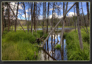
One of several ponds along Fence Creek
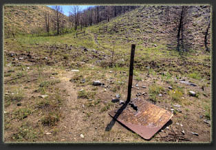
The burned trailhead sign |
