| Savage Falls
Location: Savage
Gulf State Park, north of Chattanooga, TN
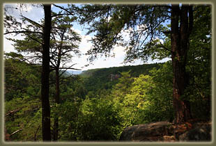
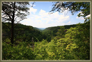
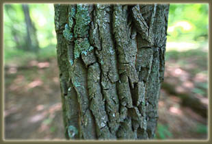
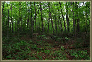
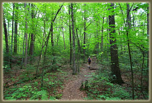
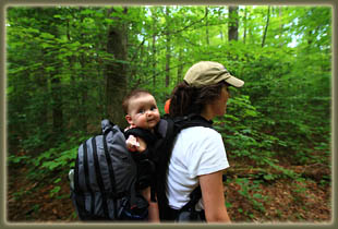
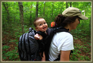
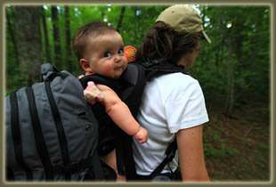
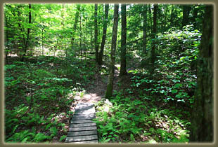
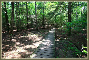
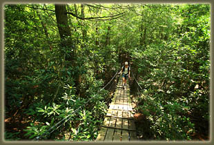
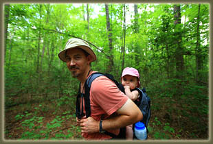
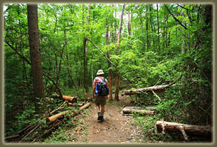
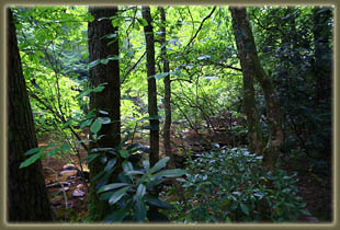
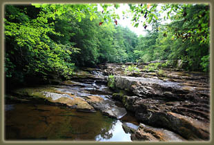
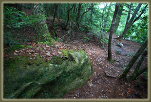
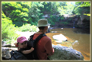
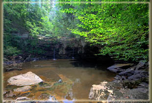
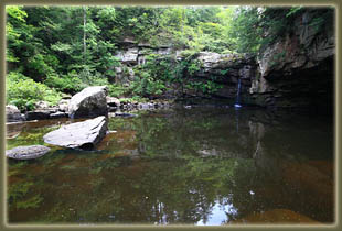
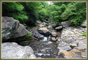
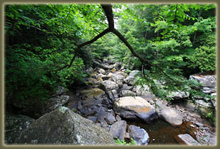
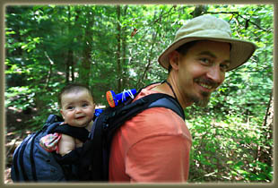
July 11, 2010 The parking lot had only car when we arrived, which seemed odd for a beautiful Sunday in July. Nevertheless, we packed up Ada into her backpack, put on our boots, and set off down the trail after signing in at the TH kiosk. The trail itself was easy to follow and well-marked, comprised of a nice path through thick hardwood forest with prolific poison ivy undergrowth. Ada kept slipping sideways in the backpack, on this the first hike with this new tool, so we had to stop frequently to right her. Finally, after the third or fourth time of seeing her list dramatically in her seat, we stopped and lowered the seat inside to allow the side straps to grip her just below her arms, keeping her more upright. We were passed by a couple of with their dogs at this point, and in typical Ada fashion, she was mesmerized by them. We chose to leave Henry and Makenzie at home for this hikeÖkeeping track of 5-month old Ada is enough for now. Shortly after starting we crossed a suspension bridge that made us both feel queasy with its swaying, and took about 100 steps to recover from. We continued on the path and after one mile reached the trail junction where the day loop (and other loops) begin. We took the left fork, and headed on down the packed-clay trail, stepping over roots and enjoying the abundant shade on this hot day. The biggest trees in the forest were oaks, but there were plenty of loblolly pines, sassafras, sugar maples, blackgum and hickory trees. In some places closer to Savage Creek, giant rosebay rhododendrons dominated the scene, rendering the area with a tropical feel of dark, glossy leaves on reddish sinewy trunks. Other areas were dominated by hemlock trees growing so thick that they choked out all undergrowth. We reached the Savage Falls spur trail, and never willing to pass up such an attraction, we headed off to the left to check it out. The route required crossing Savage Creek via another suspension bridge. Again, a stomach-churning event. Iíve been on suspension bridges before, but these are draped looser than most, and bounce and sway, such that the effect when leaving it is of stepping off a tilt-o-whirl at the fairgrounds. Maybe Iím just getting old. We slipped through the deep rhododendron forest to the creek edge, where a circle of stones was adorned with a sign indicating it was a former moonshine still location. Just beyond, the falls were accessed by a staircase to the base of the plunge pool, which was fed by a small drop of water in the opposing 20í cliff. Having seen pictures of Savage Falls at roaring flow, this was a bit of a sleeper, but not surprising given the dry July weather. I intend to come back when the creek flow makes this falls a little more savage. Dozens of little perch flitted around in the yellowish water, seemingly low judging by the marks on the rocks. A look down the creek showed a jumble of massive boulders that seemed to preclude easy travel for fish or man in the streambed. We enjoyed the shade by the pool and ate PBJ sandwiches while Ada looked on, all smiles. We discovered on our return that going extremely slowly across the suspension bridges minimized the discomfort upon completion. Back on the main loop trail, we continued heading northwest to the gulf overlook, a fantastic vantage point near the head of the canyon where one can look out across the Savage Gulf and see both sides at once, and is a view that invites exploration of the 13-mile loop trail around it. From there, it was a plod through the woods back to the junction, then back to the car. During this time Ada went through periods of euphoria followed by screaming fits here and there. We tied a small battery-operated fan to the pack just in front of her to mitigate the stifling heat, and that really seemed to help. Now I just need to figure out how to rig one up for me.
|
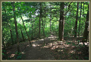
Typical terrain along the trail.
|
