Russell
Benchmark near South Crow Creek, WY
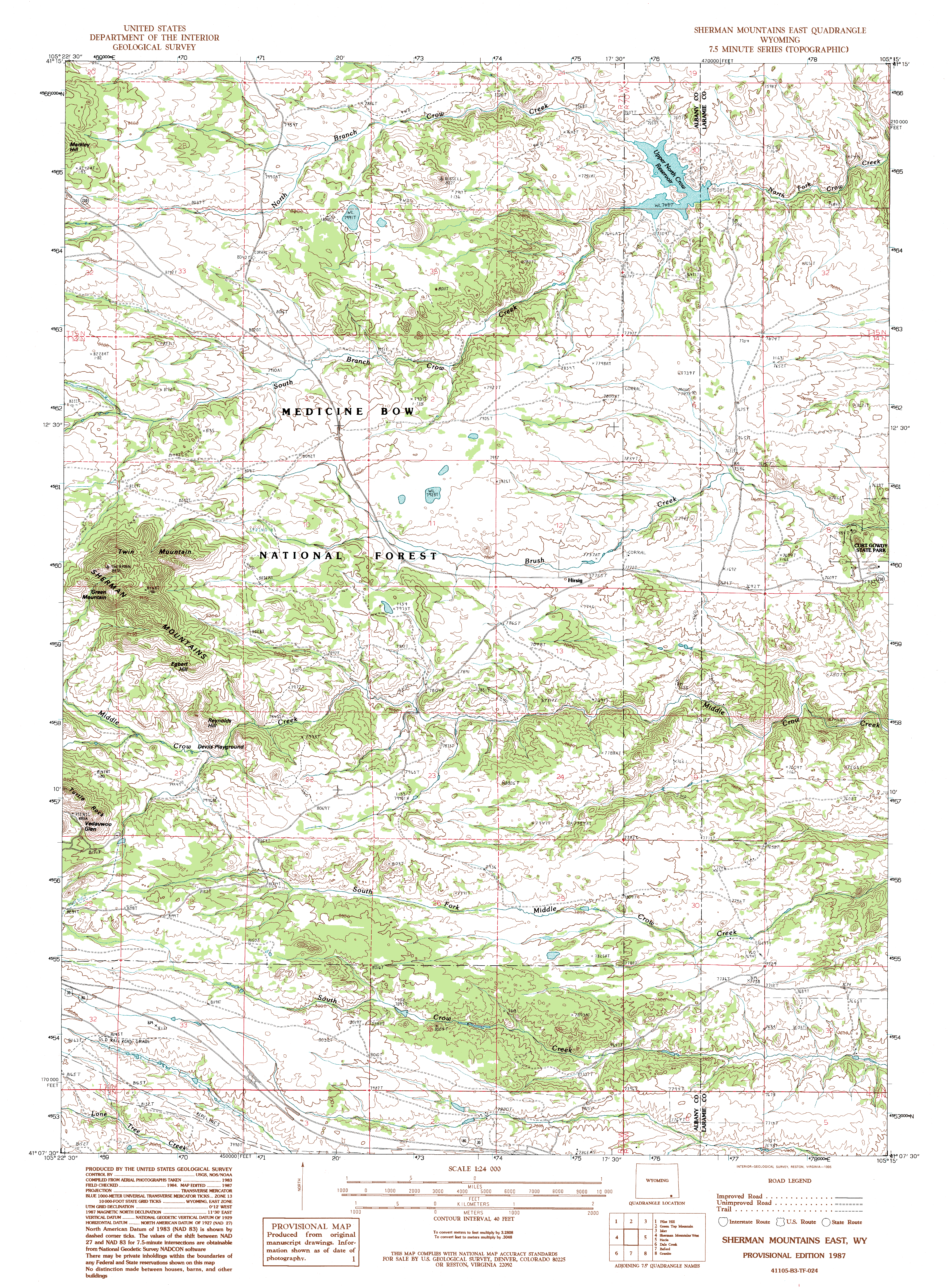
April 4 2014 Though calm in Cheyenne, a torrent of wind greeted me as I stepped out of the car at South Crow Creek, some 20 miles west of town. The extra elevation seemingly put us into the jet stream, and I had to stand on the lee side of the car to get my jacket on. I was disgusted with myself for accidentally bringing my old boots, the ones I keep only for painting or picking up dog poop in the back yard. They are too small, but I had little choice but to wear them. After bundling up, I let Henry out of the backseat and we crossed the cattle guard, then walked down the middle of the dirt road (it is closed to vehicles this time of year) along the South Fork of Crow Creek, a route Ive walked often. We walked the usual path along the creek, which is lined with willows and pocked with beaver dams and lodges, and being down in the trees blunted the wind significantly. In fact, under the warm spring sun I was soon sweating, and had to stop to remove my coat and knit cap. Henry trotted along happily, his bright orange bandana gleaming in the sun. This area is notable for its many large granite formations that sit like sentries above the lodgepole pine-aspen forest below. Turtle Rock is the most famous of these formations, but here, farther north, there are several that are smaller and unnamed. My goal today was to visit two of them. We moved along at a good clip, Henry trotting ahead but, I was pleased to see, keeping an eye on me and not getting beyond about 100m away. With his long legs, its hard for him to hike slow. We deviated from the trail most of the time, hiking up higher to the west where the view of the mountains was better. Down in the creek channel, large open ponds of midnight-blue water rippled in the wind, held in place by bulwarks of aspen and willow limbs meticulously placed by beavers. North Crow Reservoir sits just downstream and holds a fair amount of water in storage for the city of Cheyenne, but the beaver dams upstream probably hold almost as much water on their own, naturally. Instead of building more reservoirs, we should simply encourage more beavers to do their thing, and the end result of water storage is the same. To achieve greater water storage for municipal use, we can build more reservoirs, or we could promote habitat that supports more beaver through controlled burns and protecting aspen from domestic cattle grazing. The latter option is far cheaper. Soon the creek valley narrowed to a canyon where creek, fenceline and trail all paralleled each other through the narrow passage, lined with rock walls and Ponderosa pine. The air was very warm, and I stripped down to my long sleeve shirt in this protected canyon. The route opened up into a large plain of tawny-colored grass, and followed the fenceline down into a large swale and back up the other side. The creek was fairly distant to the east, and I could see a road curving down, almost to its banks. Shortly after I reentered the trees, a side-channel with flowing water came in from the west. This was my spot, and I turned west to follow this channel upstream to some of the largest of the areas granite formations. There is no trail through this area, and I relished the wilderness-feel. Aspen grew in staggering abundance on either side of the thin trickle of water flowing in the canyon bottom. Often, I had to climb over boulders and steep rock pitches to make my way upstream. Henry solved these obstacles with ease by leaping gracefully up and over, surprising me with his agility. Snow clung to the north faces, but only a few inches, a disturbingly low amount for early April. As we emerged from the canyon depths, the wind reasserted itself and I had to adjust clothing to counter it. Chilly, that wind! We reached the first large formation that holds the Russell benchmark (USGS permanent marker) at 8,227 ft, and climbed up the convoluted pile of boulders. We didnt make it very far: the pitch and the arrangement of boulders presented hazards pretty early on. If required, one could make it up to the top, but since I was free to pick my option and since Henry definitely couldnt go higher, I chose to sit in the sun on the lee side of a large boulder and read my book for an hour while Henry napped, laying on his side on a bed of pine duff. This perch was high up, and I looked out across the forest to the east at a second large granite formation on the other side of a dirt road on which an abandoned car sat forlornly in a muddy ditch, a casualty of spring thaw conditions with 2-wheel drive. And now that road was closed until June...that car is going to be there for a while. After our nice break, we walked over to the second granite formation, and this one was easier to ascend by walking up the gradual slopes on the south side. By circling around to the east, I found a ramp that took us right up almost to the top. From this nice, but wind-exposed west flank of the peak, I could look across a massive aspen forest to the pile of granite boulders wed just descended. From there, we simply made a beeline to the car, which sat a mile or two to the southeast. The terrain was rolling, with heavy pine cover, and it was pleasant walking. The temperature had climbed sufficiently that even with the high wind, the temperature felt nice. We crossed over a small hill, then down to another branch of Crow Creek that was easily crossed in this pre snow-melt period.
|
;)
;)
Unnamed side creek towards Russell Benchmark ;)
;)
Russell Benchmark ;)
Russell Benchmark ;)
;)
Looking south to Peak 8130 ;)
;)
Russell Benchmark from Peak 8130 ;)
On Peak 8130 ;)
;)
;)
;)
Henry on Peak 8130 ;) ;) |
;)
;)
;)
;)
;)
;)
;)
;)
;)
