

| Location:
Pike National Forest, northeast of Woodland Park, CO
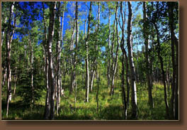
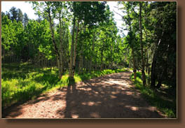
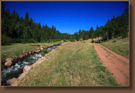
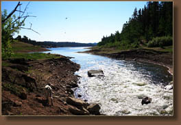
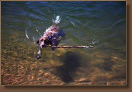
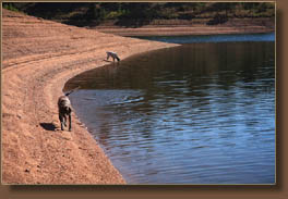
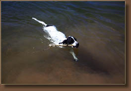
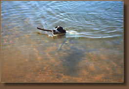
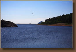
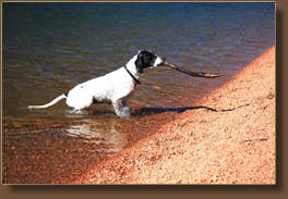
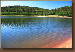
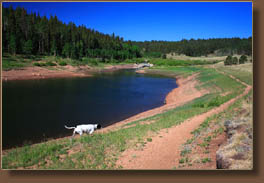
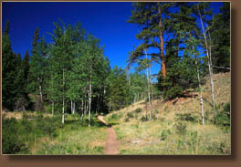
Maps: USGS 1:24K Cascade or Trails Illustrated 1:63,000 Pikes Peak(#137) Access: From the Woodland Park McDonalds on Baldwin and Hwy 24, head north on Baldwin (which becomes Rampart Range Rd) for 2.7 miles, then turn right on Loy Creek Rd and head south for 1.5 miles to Rampart Range Road. Turn right and head south on Rampart Range Road, a well-maintained gravel road, for 2.4 miles to the Rainbow Gulch TH on the east side of the road. Trail: The route follows the diversion ditch maintenance road from Rampart Range Road to the Reservoir, a distance of 1.5 miles. You can hike on the road, or cross the ditch and hike on the south side of the ditch on a narrow hiking path, a route that offers more shade and perhaps a little nicer experience. Elevation loss is gradual, and the wide graveled road is ideal for bicycles. No motor vehicles are allowed on the road or trail. Once at the Reservoir, a trail parallels the shoreline on the north side, and a loop around the reservoir can be cobbled together with roads and paths. The hike to and around the reservoir is through ponderosa pine, Douglas fir and aspen. Trailhead: NAD83 zone 13 499224e 4314335n Elev: 9276' Dogs:Voice control Fees: None Webcam: Woodland Park Webcam Weather: National Weather Service Point Forecast NOAA Snow Conditions July 3, 2008 Not really knowing quite what to expect from Rampart Reservoir, I set off with our two pointers, Makenzie and Frank, early on a beautiful summer morning from Woodland Park. The drive along Rampart Range Road is pretty nice since you can see Pikes Peak for much of it as well as the town of Woodland Park. We didnít have to drive too long to get to the trailhead, and once we got there a man stopped me and asked questions about Frank and Makenzieís breed. Well, heck, they are pretty darned good-looking dogs. I shouldered my small pack and camera, opened the door for Frank and Makenzie to spill out onto the ground and we were off down the ravel road through a forest of pine, spruce and aspen. Some of the aspen groves along the road were really extensive and quite nice. It soon became apparent that the route was going to follow the road the entire way so I settled in to a comfortable pace and watched the trees go by. Frank and Makenzie darted back and forth across the road, sniffing who knows what. Jealousy flared often as one dog would seem to get too interested in a particular spot, bringing the other dog at a run to see what had been found (before it was too late). I passed a trail leading off to the left, and wondered if I should take it. At the second trail that branched off to the left from the road, I could see water flowing down below through the trees, so I figured this must be going to the right way. I took that trail which was simply a shortcut from the road, which looped around and within a few minute I was right back on it. Once out of the trees, the road crossed a large concrete block from which spewed a torrent of clear, cold water, obviously piped in from somewhere higher up. The water immediately ran into a rock-lined ditch and rumbled on at a very fast pace. So fast, in fact, that I cautioned the dogs not to jump in else theyíd be swept away. A trail followed the south side of the ditch, while the road followed the left. I stuck to the left and continued on. The sun rose higher and it did get a little warm with no breeze. I was anxious to get to calmer water so the dogs could hop in and cool down. That didnít take long, and within ¾ mile the reservoir was in sight. As we approached it, the sound of a helicopter caught my attention and I watched through the tops of willows as a bright yellow helicopter took off slowly with a cable attached to a water bucket hanging from it. As it came into view, I saw a man in yellow nomex shirt directing the takeoff. The helicopter rose several hundred feet up, then shifted to a point over the water and dipped the red bucket in, pulling up a dripping bucket and then it flew off over the trees. I didnít see any smoke anywhere around so I think they mustíve just been practicing the technique. The water level in the reservoir was at least 10 feet low, maybe more, and vast amounts of steep shoreline were visible above the water in thin terraces. As soon as we got to the calm water below the inlet, both dogs waded in and drank. I was struck by how clear the water in this reservoir is. Soon I tempted Makenzie further into the water by throwing sticks in, and she provided entertainment by swimming out and retrieving them. The water was clear enough to watch her legs paddle beneath the surface and itís surprising how they wide they can make their feet when they splay their toes and the webbing spreads between them. Pretty good swimmers. Frank got in on the act too, surprisingly, so I threw a few sticks for him a little closer to shore. He swam out enthusiastically into the water to retrieve them, too. He doesnít have quite the tolerance for cold water that Makenzie does, so I only threw in 3 sticks for him. We walked along the shore, following the contours of the shoreline and passing by a man laying on the beach watching the water. The forest service helicopter returned twice more to get water, bringing a deafening roar with it when it came and leaving renewed quiet when it left. We three followed the northern shoreline past the first 2 coves, then I decided to turn around and head back. The hike back took about the same time as the hike in, that is, about 45 minutes, although it was much warmer by the time we were heading back. The clouds were building to the west, but it was still very sunny and the air was very still. I encountered lots of anglers as I was walking out, so this seems to be a pretty popular fishing spot. |
 |
 Page created 7-19-08
|