| Oregon Buttes
Wilderness Study Area
Location:
Central
Wyoming, on the south end of the Wind River Range, Wyoming
View Larger Map June 20, 2014
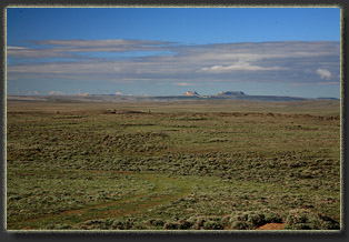
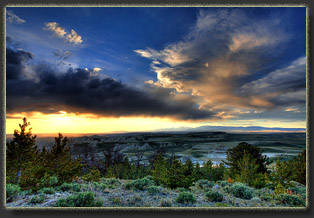
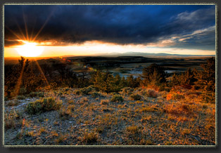
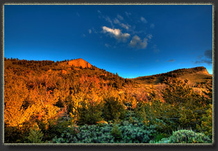
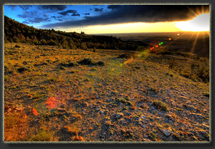
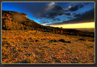
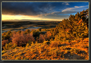
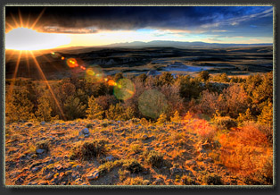
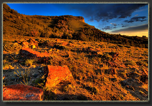
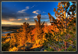
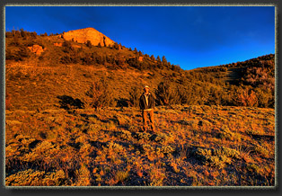
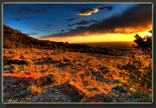
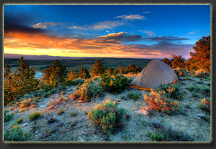
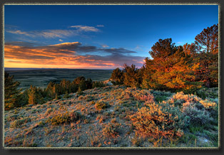
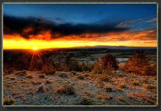
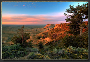
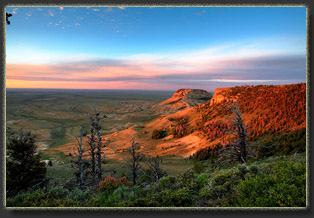
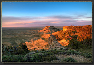
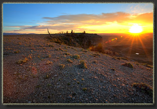
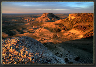
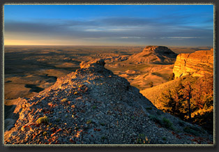
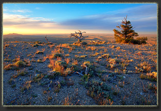
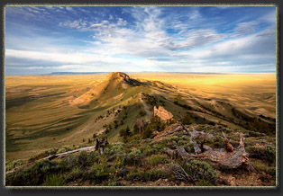
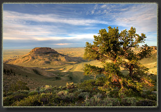
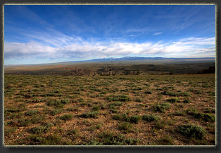
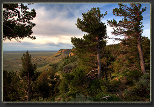
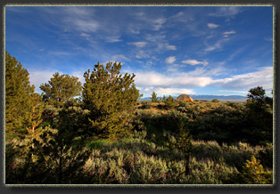
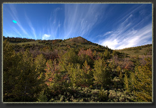
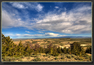
Like the settlers in the 19th century, I could see the buttes from Hwy 28 for miles before I turned off on the Oregon Buttes Rd. Heading south, I zipped along a graded dirt road with rolling swells of sagebrush drawing out on both sides to the horizon. Puffy clouds skittered across the sky, blown east by a stiff westerly. In my rearview mirrors I could see my dust trail swirling off the east. I consulted my topo map, followed the curves in the road and finally arrived at the turnoff for the buttes. I crept along the narrow two track towards the east end of North Butte. I could see two steep tracks ahead. I decided to stop and strategize. While so strategizing, I built a turkey sandwich and leisurely chewed on it, washing it down with a cold soda. The wind outside the car blew fiercely, and with a chill, so that I had my windows barely cracked. I checked the map, determined I was likely on private property, and thus decided to forge ahead with the car. Up the steep road I went, hoping nobody decided to come down the track, and further hoping the singularly rutted tracks didnít get any deeper or Iíd soon be plowing up the center with my rear differential. Luckily I made it up to the bench above and the two track flattened out. A very steep ATV track skirted up the slope towards the top of the butte. I continued west to where the road passed between a small reservoir on the south and a small butte on the north. I parked just beyond this spot in an area mostly devoid of vegetation. The wind was fairly fierce, so I determined to pack some essentials and head uphill towards the butte summit to camp amongst the limber pine stands that flanked the entire butte. I filled my green pack with some basics, and up the hill I went. I didnít have far to go, perhaps only 15 minutes of walking, before I found a nice clearing amongst the trees where the wind was tolerable. As a bonus, the view to the north was great. I pitched my tent as the sun sank lower in the sky. I was directly below the saddle between the main summit of North Butte and the easternmost false summit. A scree field lay between me and the saddle, which was not so very far up in elevation. But the hour was late, and I decided to save the summit for the morning. As the sun touched the horizon, I hiked about camp and the grassy, flower-dotted meadow above, snapping photographs and enjoying the quiet. The wind died down to nothing, and this was a welcome development, despite the wave of mosquitoes that were emboldened to venture out and feast. I watched the sun go down in spectacular fasion to the northwest, at its most northerly setting of the year, then slipped into my tent and slept blissfully in the perfect quiet of the Red Desert. June 21
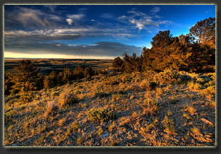
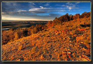
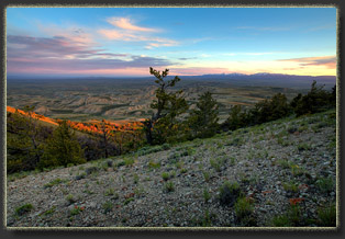
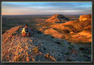
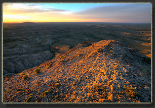
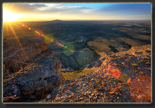
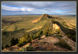
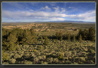
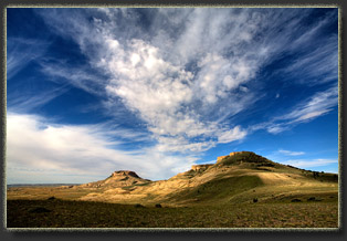
I made it to the flat top of the eastern most butte in a few minutes and walked all around, enjoying the views of the immense landscape beyond from this eagle-eye perch 1500 feet above the surrounding plain. Aside from the presence of a few dirt roads, the area looked much as I imagine it did in the 1850ís when pioneers first gazed on this ridge. I canít imagine any of those early settlers took any time for such a frivolous thing as climbing up here, but I do wonder who first did so. A web search on this topic returns the sound of crickets. The top of the butte was mostly open, with low-growing flowers and grasses scattered amongst a loose scattering of small stones. A few patches of limber pine dotted the edges, but mostly it was very open and exposed, the better to take in the surrounding landscape. In 1849, J. Goldsborough Bruff of the Washington City and California Gold Mining Association passed over South Pass and sketched the area, including ďTable MountainĒ (Oregon Buttes). The Oregon Buttes are made up of the light-gray to orangish sandstone/claystone Bridger Formation, laid down about 40 million years ago, capped by the thinner light-gray Arikaree (Hari Kari?)Formation, which is about 15 million years old. Both layers have been almost entirely eroded away, leaving only these remnant buttes and ridges intact above the ~48-million year old Laney member of the Green River Formation laid down by ancient Lake Gosiute. Why is this significant? Because the Green River Formation, in addition to bearing awesome fossils of fish in slate that almost everyone has seen in museums and, controversially, at tourist souvenir shops, the Green River formation has a lot of oil and gas trapped in that shale. The fate of those hydrocarbons sitting under Oregon Buttes and the adjacent region known as the Jack Morrow Hills has swung back and forth the last 25 years. In the late 1990ís BLM initially planned to authorize leasing the Jack Morrow Hills for mineral extraction, but so many protest comments from the public were received that Bruce Babbitt, Interior Secretary under President Clinton, directed the BLM to rework the land use plan with more conservation emphasis. Before the management plan was signed, a different occupant in the White House pressed for more domestic energy production and the emphasis swung back to energy development. So it will go, with emphasis between conservation and energy development swinging back and forth depending on the party that controls the White House, unless the Oregon Buttes WSA and surrounding areas recommended for wilderness status through citizensí proposals are designated by Congress as Wilderness, or by the President as a National Monument. Neither of those actions seems likely, so it could come to pass that instead of pristine high desert you see about you from the top of Oregon Buttes, you will see a spiderweb of roads, a legion of scraped well pads and a thick brown haze of ozone and hydrogen sulfide laying like a poison fog across the land. Think thatís unrealistic? Check out the Jonah Field in the nearby Pinedale Anticline. As the sun rose higher, it rose into a cloud bank and the area was shadowed. A breeze was kicking up and it got pretty chilly. I moved west, down to the saddle, and then up to the actual high point of the north butte. Again, the top was flattish, wide open and the walking was supremely easy. I reached the western edge of the butte and began to descend a path that I could see led down to a deep saddle and back up towards another high point along the ridge. It wasnít clear from this vantage point how easy it is to get on top of the third flattish point. After descending about 50 feet, I stopped and sat down to enjoy to the view. To the south, the single monolith of the South Butte was beginning to glow a little brighter in the returning sun. To the west, the ridgeline began to throw a shadow to the west. Further north, the landscape warped and folded throughout the adjacent Whitehorse Creek WSA. I sat down and pulled the hood of my jacket over my head and watched the changing light on the rocks and trees. The wind swept into my face, but I felt pretty comfy in my jacket. So comfy, in fact, that I fell asleep while sitting there, lulled into relaxation by the swishing sound of wind gusts through pine needles. When I awoke a few minutes later, the sun had moved above the cloud bank, but into high cirrus clouds that filtered and dulled the light. After watching the ridgeline below me for some time, I decided I was content to turn back and explore the ridgeline no farther. I think that decision was strongly influenced by my spontaneous nap. I retraced my steps uphill to the top of the North Butte, and down towards the saddle through a few stands of limber pine. One stand of pine was almost completely dead, with only a few individuals remaining alive. I couldnít tell what had caused the decline. Fire? Pine beetle? Mistletoe? I cruised downhill from the saddle quickly, but cautiously (that scree was tricky) and arrived back at my tent at 8:00. I laid down in the tent to nap, but without the wind, the sunlight was plenty warm, and the tent felt like an oven. I considered lying down in the grass under the nearby limber pine, but the mosquitoes around camp, with its relative calm air, were both numerous and hungry. After trying to sleep for 10 minutes inside the tent but only succeeding in soaking my shirt in sweat, I packed everything up and walked downhill to the car.
|
  |
