McCullough
Gulch
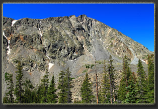
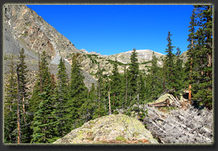
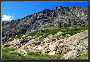
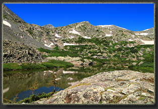
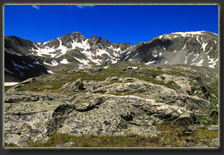
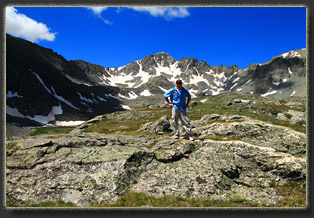
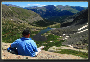
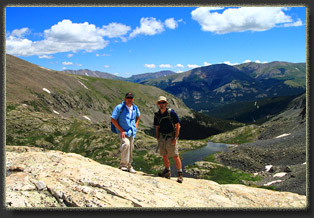
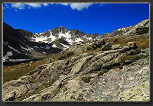
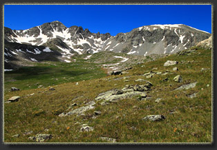
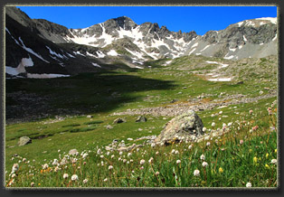
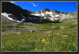
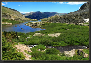
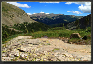
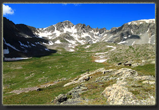
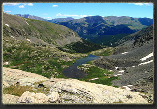
View Larger Map I had floated the idea of attempting Quandry Peak, a relatively accessible 14er, but my party demurred, so we instead opted to hike up McCullough Gulch, just to the north. Glad we did, for on our way to the gulch TH, we passed at least 200 cars parked along both sides of the road. On this bright, shining Saturday in August, hundreds of people had their own inspiration to hike Quandry, turning it into a bit of a Disneyland spectacle. I was glad we had not set our sights on this prize today. Save that one for a weekday. Even so, the road at McCullough Gulch was heavily lined with cars, and we had to poke around to find a spot to slide the Forester off the road. Nolan, Andra and I pulled on boots, packs and sunscreen while Mike and Mandy found a parking spot down the road. We met up, and under a brilliant blue sky, hit the trail (an old mining road) and began heading uphill through the spruce and fir. We passed by a mining claim occupied by miners, and the usual detritus of mining operations spilled out of their cabin and all around the clearings. Unsightly, but luckily confined to a small section. The road continued uphill. The sun was warm and pleasant. Far above, the ridgeline of Quandry Peak looked immensely far away, but we could see tiny specks of humans crawling along towards the summit. We encountered lots of hikers on our way, and often had to wait for traffic on the narrow, muddy trail. It was slow-going, and at some point Nolan got around a large group of hikers and shot on up the trail and out of sight while Andra, Mike, Mandy and I stayed behind the slow-moving group. After an hour or more, we reached the first lake, a narrow, shallow body just below 12,000 feet, and caught up with Nolan who was sunning himself on the rocky shore, smoking a cigar and watching the mountains. I immediately set my sights on the next ridgeline to the west, and Nolan was the only one who was enthusiastic about climbing it, the rest were content to relax by the waters edge. So, Nolan and I set out along the north shore, and gradually picked our way up through the islands of spruce trees dotting the tundra to a point overlooking the lake at 12,800 ft. We sat and enjoyed the view, and the quiet. We ate lunch. Nolan continued smoking the cigar he had been working on the entire hike, seemingly unbothered by the lack of oxygen or tobacco smoke. Far below, we could see people sitting around the lake, some of them undoubtedly our friends, and far above, we could see tiny people on the ridgeline near Quandry’s summit. The hanging valley to the west looked very inviting, covered in wildflowers and sloping up gently towards Fletcher Mt and a couple more alpine lakes hidden from view. So much to see and so little time! Though tempted to check it out, our friends were waiting below, so we decided to head back down, taking a different route to the south of the prominence, and serendipitously finding a trail that led us quickly downhill through boulders and flower marshes to the west shore of the lake, and from there quickly back to the lake outlet. We arrived to find Andra, Mike and Mandy engrossed in a family’s effort to coach their teenage son down from the rocky ledge he had climbed up to. He was apparently stranded, unable to find a suitable way down, and with afternoon stretching on, the family was worried about him being stuck halfway up the north face of Quandry Peak. Rightly so. We headed on down the trail, losing elevation quickly, just as the sun lost elevation in the sky and began to cast long slanted rays through the trees. At the trailhead, we encountered a search and rescue team gearing up to go fetch the stranded hiker. Undoubtedly his misfortune ruined his family’s dinner plans, but hopefully he was OK. We reached the trailhead in late afternoon, and headed back to town to shower up and hit Main St for dinner.
|
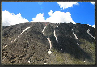
Quandary Peak
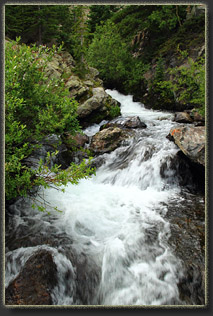
Quandary Creek |
