| Location:
Cache
la Poudre Wilderness, west of Fort Collins, Colorado
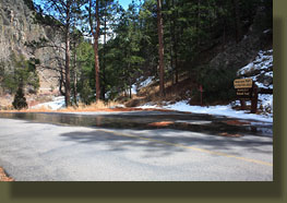
Maps: USGS 1:24K Big Narrows Access: From Ted's Place at Hwy 287 x Hwy 14, drive west on Hwy 14 for 22.7 miles to Mountain Park. Look for the bridge on the south side of the road. Trail:There are two trails one can take from the Mountain Park campground, the Kreutzer Interpretive Trail and the longer Mt McConnel Trail. The Mt McConnel Trail is a semi-loop trail that begins and ends at different points along the Kreutzer Trail, which itself begins and ends along different points of the campground road spaced about 300 yards apart. It's a little difficult to predict where the trail will go since the USGS quad doesn't show it at all. The good news is that the trail is well marked and easy to follow with just one exception on the steep easternmost portion of the Mt McConnel trail. Therefore, the exact location of the trail on the map is not critical, as long as you have a general idea of where it is. Distance is hard to judge since it's hard to find on a map, but I estimate it's about 4 miles for the larger loop. The campground road is closed most of the year, but you can park along Hwy 14 near the gate and cross the bridge on foot. The east TH is just across the bridge on the left, while the right trailhead is well marked on the left just before the campground check-in hut.Elevation starts at 6640 and the summit is at 8000', for gain of 1360' Dogs: Leash control Weather: Current and recent conditions Local Forecast 
April 5, 2008
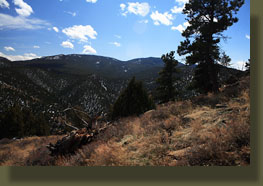
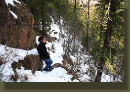
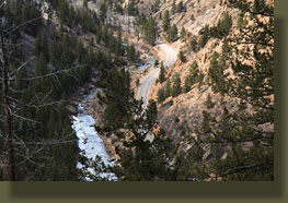
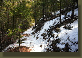
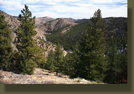
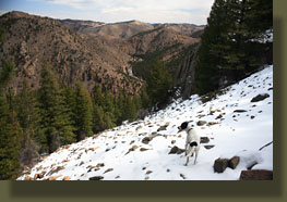
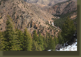
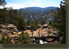
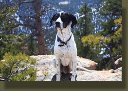
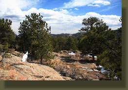
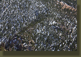
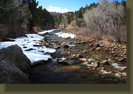
A few open spots on the west side allowed views of the Mummy Range and Stormy Peaks, all cloaked in downy snow. The wind blasted us in these spots, and I was cold in my t-shirt until we got back in the trees, where the sweating commenced. We passed a sign that advised we had just entered the Cache la Poudre Wilderness. This is the only official trail I know of that enters this wilderness area, though the terrain is open and easy to navigate without a trail. Still, that makes it one of the least developed wilderness areas I've ever encountered. In about an hour, we reached the summit, which is spread out and peppered with limber pine. Wherever the absolute summit is, I didn't find it. We lounged on the rocks, snacking, enjoying the mostly-unencumbered view of the mountains around us. Dark skies to both the east and west made us appreciate the clear blue sky overhead that did nothing to impede the bright, warm sunshine. I tossed rocks for Makenzie to sniff out, and threw peanuts for Frank to find in the undergrowth: they each have their own motivation. For the most part, the trees on the summit blocked all but the strongest gusts of wind and it was very pleasant. Nevertheless, after 30 minutes, we were ready to walk, so off we went, down the trail. On previous attempts at hiking this area, I lost the trail attempting to take the loop leg back to the car. I was hesitant, therefore, to try it on this occasion, but felt compelled to give it another shot. Thus, we descended the southwest side of the mountain, with a trail almost completely free of snow and wind. Below us ran the channel of the South Fork of the Poudre River with pine-covered mountains beyond. By degrees, the trail curved around to the north, and we were soon descending the north face again, with thick snow and a steep trail pitch that kept us alert. There was one tricky spot where the trail was so ill-marked that we backtracked to ensure we hadn't missed anything. Then, after an extremely steep section that bore little resemblance to an established route, we found ourselves back on the path and heading down. We intercepted the Kreutzer Trail, and from there it was only a short walk back to the pavement. The end of the trail spit us out right at the bridge, which surprised me. Ended up taking us about 3 hours for the round trip. We watered the dogs in the free-flowing river, then hopped in the car and drove to Fort Fun for a burrito.
|
 |
