

| Location: Loch Vale, eastern side of Rocky
Mt National Park
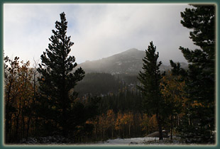
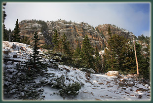
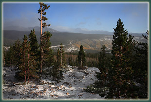
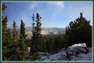
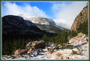
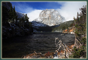
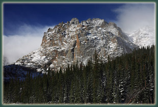
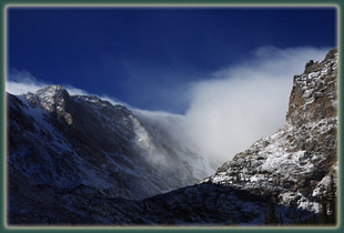
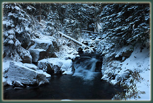
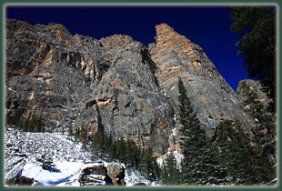
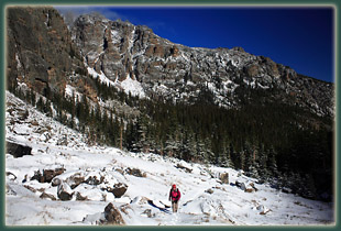
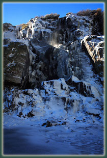
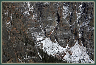
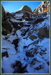
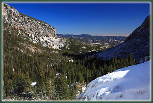
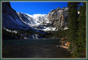
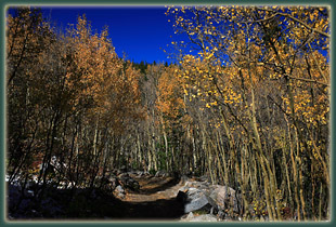
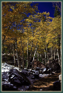
Map: USGS 1:24K McHenrys Peak / Trails Illustrated 1:59K Rocky Mt National Park (#200) Access: From Interstate 25, take Highway 34 through Loveland and Estes Park to the Beaver Meadows entrance. Just beyond the entrance gate, turn south on Bear Lake Rd and drive ~8.5 miles Glacier Gorge Junction, or in summer, take a shuttle from the shuttle lot 4 miles up Bear Lake Rd. Glacier Gorge Trailhead: NAD83 z13 445584e 4462406n Elev: 9170' Trail: Moderately-difficult 5-mile walk over moderate terrain to Sky Pond. Allow 4-5 hours for round-trip. Elevation Map Fees (2007): $20 7-day park pass; $35 annual park pass; $80 annual Federal public lands pass Dogs: not allowed Webcam: 8 miles northeast in Estes Park Weather: Current conditions Local Forecast September 30, 2007 Christine and I drove into Estes Park right as the sun pulled out from the bank of clouds on the eastern horizon. It was a cool and extremely windy sunrise on this last of September. White, vaporous clouds surrounded Long’s Peak and glowed peach in the morning light. We drove through the Beaver Meadows entrance around 7:15 and made our way towards Bear Lake. Traffic was very light, owing partly to the early hour and partly, perhaps, to the blustery conditions. Near Sprague Lake, the road turned icy, and soon it was covered with a thick, crusty layer of silver ice ripples. I drove the remaining distance to Glacier Gorge, slowly, and was glad to have the car parked and safe. We exited the car to wintry conditions. The wind was howling around 20-30 mph, and the temperature was below freezing. Tiny snow particles pelted bare skin from the west, where clouds over the divide still seemed to be throwing down precip even while the sky to the east was clearing and letting in sunlight. There were two other cars in the lot. A man at the back of a red Datsun was just starting out in skin-tight jogging gear that looked woefully inadequate for the temperature. I guess I’m just a whimp. I was dressed in a t-shirt, fleece button-down, fleece sweatshirt, nylon shell and fleece gloves and hat. Christine had a similar defense. We bundled up and set off down the trail at about 7:50. Once we got into the trees, the wind wasn’t as bad, and as the sun rose higher, it provided some warmth. For the first hour there was a back and forth between the western clouds and the eastern sunshine, and it wasn’t at all clear which weather pattern would win out. The trail was crusted with ice, but not slick, as it lead through yellow aspen groves, and then higher into bare aspen groves. We passed Alberta Falls, and made our way up through snow-tufted pines and spruces until we hit the junction with the Longs Peak Trail. A man dressed in black commented that he was going to take a crack at Long’s Peak today. Was he kidding, insane, a super-human? Who knows. Though the sun grew in intensity, the wind did not abate. Thus, we froze in the open stretches, and baked in the sheltered ones. It was hard to get comfy. I finally settled on ditching the green shell and that worked for most of the remainder of the hike. We reached The Loch in about an hour, and enjoyed the view of snow-dusted Taylor Peak above the whipping waves. Rime ice had coated all the rocks in the lake, as well as the rocks, trees and grasses on the shoreline. I stopped to take photographs, trying to focus the lens as tears welled up in my eyes from the frigid blast coming at us across the water. The sun was out in brilliant fall white, sending sunshine cascading down the white-flecked rock faces. The entire hike was exhilarating, but the first views of the The Loch were especially so. We continued on the trail around the west side of The Loch, and the snow got deeper and deeper until it was well above my ankles. Sections of the trail rely on logs across marshy spots, but in the snow I couldn’t see these and frequently stepped off into deeper snow almost to my knee. Breaking out the forest, we followed the route uphill towards Timberline Falls, and the going was slow as I shuffled through calf-deep drifts of powdery snow. We got to the base of the falls and sought a safe route up towards Glass Lake, but the rocks were slick and snow-covered. After consideration, we decided to leave Glass Lake and Sky Pond for another day. The hike back was fairly quick, and we warmed up nicely as soon as we were below The Loch. We were retracing only our own footsteps and we noted with curiosity that nobody else had hiked up here yet. Odd, for a Sunday. The trail was empty all the way down to the junction with the Long’s Peak trail, at which point we encountered folks every 2 minutes for the rest of the hike. It grew warmer as we got lower, and the snow was melting rapidly. Portions of the trail were already dry on our return. Christine ran into one of her old friends on the trail, and after telling her we had hiked up almost to Glass Lake, she asked us how that was possible since the road was closed. Apparently the road was closed until noon. How did we get up? A note on my windshield explained it. It read: "Greetings! We have closed the road at Sprague Lake. Please drive down to the gate and someone will let you out. Stay Warm." Back at the car at 12:30, we cruised down the road that a thousand cars were cruising up. Nice to be going the other way. |
 |


Page created 1-15-08
|