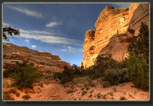
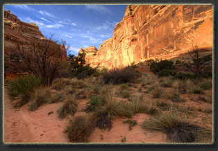
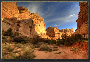
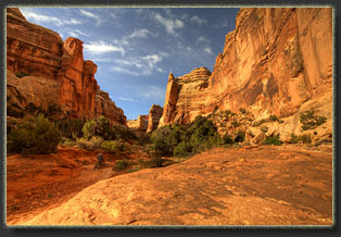
Brimhall Point to Lizard Rock

Location: Canyonlands National Park, Maze District
Access: Exit I-70 12.5 miles west of Green River, and head south of Hwy 24 for 47 miles, then turn right on CR 1010 (at the sign for Hans Flat Ranger Station) and head east 23.6 miles to a NPS sign at a fork in the road. The Left fork goes to Horseshoe Canyon TH, the right fork heads south 20.5 miles to the Hans Flat Ranger Station where you can pick up permits. From there, follow the signs to the Maze Overlook, I didn't write down the mileage. There are lots of side roads around, so take a good map!
Maps: Elaterite Basin, Spanish Bottom 7.5’ quads
Trailhead: UTM NAD83 z12 587492e 4232371n   5120’
Trail: The route to Lizard Rock from the Maze Overlook is 8.3 miles, involves 1000’ elevation gain, and also involves significant downclimbs requiring a bit of comfort with exposure. Once in the canyon, there are no trail markers or signs, so navigation skills are required. Maps are essential and a GPS sure helps. Climbing up out of the canyon to Lizard Rock also involves some climbing, though not as difficult as the initial descent into Horse Canyon. A 30' rope to lower packs is handy.
Fees: $10/vehicle + $15/backcountry permit  More info
Dogs: Not allowed
Weather: National Weather Service spot forecast


April 21, 2011
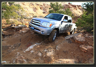
By noon Griff and I were at the Maze overlook on a splendid day, enjoying the view to the east across miles and miles of undulating sandstone, a landscape crinkled up like a crumpled blanket. The morning had been spent driving up the Flint Trail after an aborted attempt to drive to the dollhouse. Note to drivers: The Park Service is not kidding around about that Flint Trail, it’s extremely gnarly. I doubt it’s physically possible for a Toyota Tundra with stock tires to get to the Dollhouse, since the spot we turned back on would likely have caught both bumpers and left the tires spinning in mid-air. We had a fun time with it, though, camping impromptu along the road in a side-canyon and enjoying the explicit quiet of the desert. 

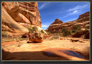
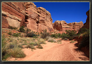
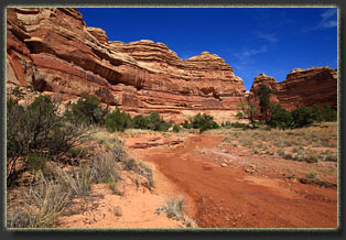
After packing our backpacks, we heated up a couple of burgers from last night on the grill, and scarfed them down with chips and cola. The sky was bright with thin clouds that obscured the blue sky, yet it was warm and pleasant, albeit a bit windy. By 1:00 we were heading down into Horse Canyon, a wide wash with a thin layer of running water in the bottom.  A narrow band of green lined the streambed, but mostly it’s a land of rock. 

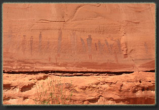
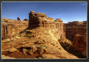
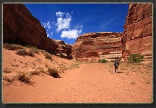
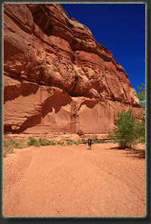
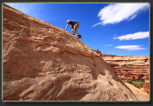
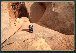
The route down into the canyon was very steep and required us to lower our packs by rope several times to allow downclimbs. There may be those that can downclimb with a frame pack, but I’m not one of those people. It was tricky, especially given the powerful wind that blasted down the canyon, but all part of the fun. Most downclimbs had moqui steps carved in the rock, which helped immensely. Once in the canyon bottom, it was pretty easy going downcanyon for a short bit to the Maze Trail. We hiked upcanyon from there to the turnoff for the Harvest Scene, paying close attention to the map to avoid wrong turns, as none of the trails are labeled or marked in any way. The wind was ferocious, sending waves of sand sheeting across the ground, sandblasting my legs and face. 

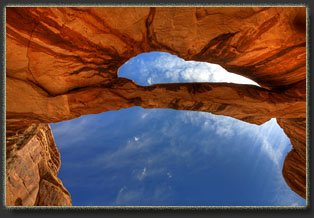
The map showed an arch on the opposite side of the canyon where you’d turn off for the Harvest Scene, so we cached our packs and checked it out. It was a little tricky to find, as it is way up high and you have to stand on the far east side of the canyon entrance to see it beyond the curve of the southern wall. We hunted around for 20 minutes trying to find it. This short canyon continues up several hundred meters, and ends at a great little campsite under a massive pinyon. 

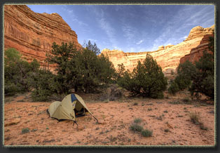
Packs on backs, we continued up the Maze Trail, and encountered a few hikers we had seen on the Flint Trail yesterday. They had done the loop down to Chimney Rock and back. We continued on and made camp just past the Chimney Rock Trail junction, under the USGS “Natural Arch” which I spent 10 minutes trying to locate but could not. Had my tent set up by 6:00 in a clearing among the junipers, in a little rise hidden from the streambed. Griff set his tent up a hundred yards upcanyon in the next flat spot that we found. As the cool and windy evening came on, we had dinner of crackers, cheese, jerky, nuts and chocolate. I made a small dam in the trickle of water in the canyon bottom and after an hour there was enough clear water to filter and fill up our bottles. 

By 7:30 I was in my tent and feeling very good. The wind had died down, and the temperature was just chilly enough to make the sleeping bag tempting. I have a habit of allowing dehydration to creep up on me in the desert, but I was conscious of my water intake all day, so my head felt fine as I drifted off to sleep in the utterly quiet peace of this isolated canyon. 


April 22
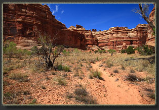
I woke to the sound of pebbles hitting the taut wall of my tent at 6:30. Griff had been up for awhile and was impatient to get moving, and was launching projectiles from the streambed. I got dressed and ate a granola bar as I got my daypack ready. The sky was cloudy, which was a bit disappointing, but the wind from yesterday had left town, so the sand wasn’t whipping in our faces. We left camp by 7:00 and within 10 minutes we had made a wrong turn, heading left when we should have stayed right. It took us another 30 minutes to figure out we’d made a wrong turn, even with the GPS, so we had to backtrack and take the other route. Routefinding is a puzzle here, because there are no landmarks on the horizon to help show you the way, footprints vanish overnight if there’s wind, and side canyons that end in short order can be wider than the mainstem, which is how we ended up taking the wrong turn.

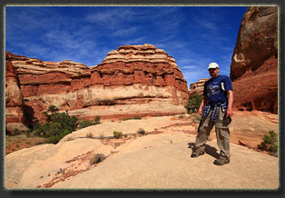
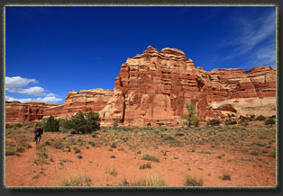
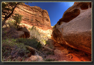
Back on track, we moved south in a fabulous, sinuous canyon, very narrow at times. The sun came out. We reached the head of the canyon where a large alcove blocks the way, and explored the shady undercut. Getting up to Lizard Rock involves a steep scramble up the canyon wall, over the rim into another side drainage, and up a steep wall to the Land of Standing Rocks. None of it is technically difficult, but it’s a bit of a scramble in places. We came out between Lizard Rock and The Plug across a barren, brown clay field scattered with junipers and sagebrush around 10:00. Having read The Monkey Wrench Gang 2 or 3 times now, it was fantastic to finally see Lizard Rock in person. 

We crossed the dirt road that leads down to the Dollhouse, a road we had originally planned on driving, and found a shady spot amongst the sparse junipers to have a snack. We discussed heading up the road to Chimney Rock and heading back to camp by that trail, but decided against it. I can’t even remember why. Back in camp by 12:00, we checked out the nearby bridge and then packed up camp. By then it was sunny and 70 degrees. No wind. Perfect. 

We ate lunch, filtered water, smushed the dam in the stream which had mostly been washed away anyway, and headed back towards the car starting around 1:30. The hike back was fun, even the tricky pack-hauling sections. The distance was not far, but the last mile took over an hour and a half by itself. A single pack-line and climb took us 35 minutes. By 5:15 we were back at the truck, and from there we drove back up to the Flint Trail and motored on out past the Hans Flat Ranger Station around 7:30. 

It was getting dark, and looked like rain, so we pulled into the first dirt road we saw, a BLM road, and found a pullout in which to make camp. We cooked brats by lanterlight, and the temperature really dropped fast. By morning our tents would be covered in snow. Glad we weren’t trying to haul up out of Horse Canyon in snow!
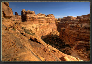
 

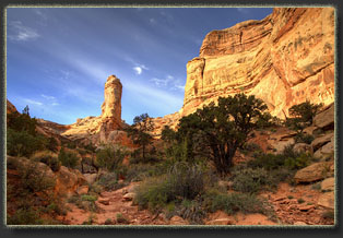
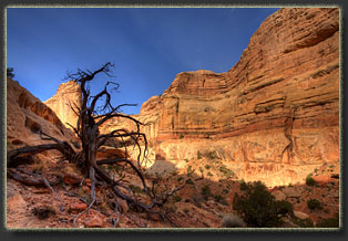
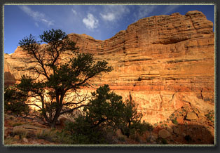
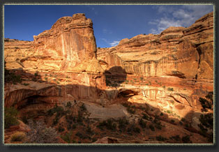
Hiking in the Maze, Canyonlands National Park, Utah
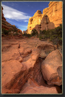
Canyon just below Lizad Rock
 
Hiking in the Maze, Canyonlands National Park, Utah
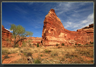
Lizard Rock
 
Hiking in the Maze, Canyonlands National Park, Utah
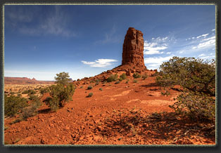
Standing Rock
 
Hiking in the Maze, Canyonlands National Park, Utah
Looking back towards Brimhall Point from Lizard Rock;
Cleopatras Chair on the horizon

Hiking in the Maze, Canyonlands National Park, Utah
Natural Arch near The Wall
 
Hiking in the Maze, Canyonlands National Park, Utah
Downcanyon from the natural arch
 
Hiking in the Maze, Canyonlands National Park, Utah
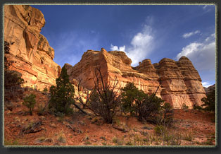
Brimhall Point knobs from Horse Canyon
 
Hiking in the Maze, Canyonlands National Park, Utah
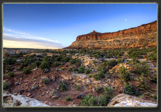
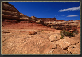
Looking up to Brimhall Point
 
Hiking in the Maze, Canyonlands National Park, Utah
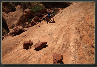
Climbing out of Horse Canyon
 
Hiking in the Maze, Canyonlands National Park, Utah
The longest pack-line spot out of Horse Canyon
 
Hiking in the Maze, Canyonlands National Park, Utah
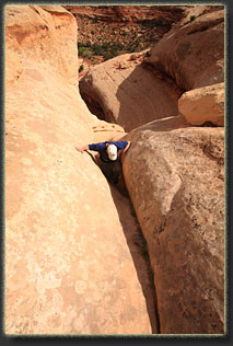
Griff chimneys up a crack out of Horse Canyon
 
Hiking in the Maze, Canyonlands National Park, Utah
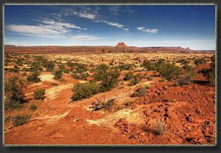
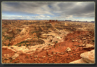
Looking southeast from Brimhall Point over Horse Canyon
and the Maze. Chocolate DRops center. Lizard Rock, 
Standing Rock, The Wall, all on the right horizon

Hiking in the Maze, Canyonlands National Park, Utah
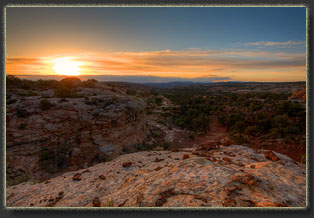
Teapot Rock at sunset
 
Hiking in the Maze, Canyonlands National Park, Utah
Sunset over the Flint Trail
 
Hiking in the Maze, Canyonlands National Park, Utah
Driving up the Flint Trail
 
Hiking in the Maze, Canyonlands National Park, Utah
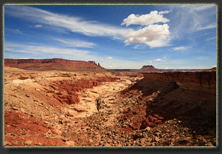
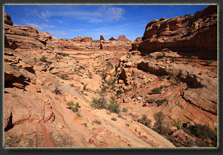
Looking down into a tributary of Horse Canyon
from the Maze Overlook Rd
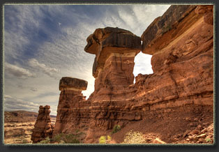
 
Hiking in the Maze, Canyonlands National Park, Utah
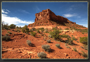
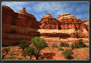
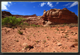
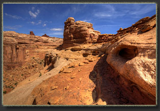
Knobs at Brimhall Point
 
Hiking in the Maze, Canyonlands National Park, Utah
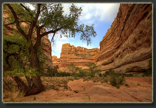
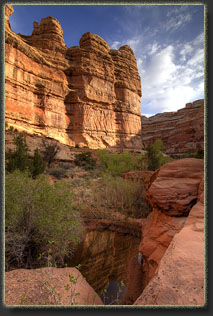
In Horse Canyon
 
Hiking in the Maze, Canyonlands National Park, Utah
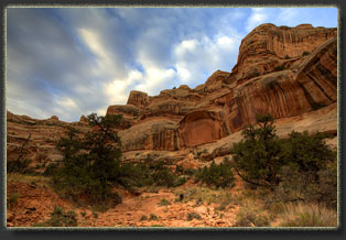
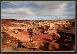
Horse Canyon
 
Hiking in the Maze, Canyonlands National Park, Utah
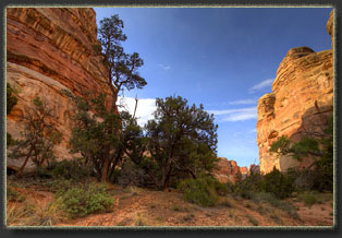
In the Maze
 
Hiking in the Maze, Canyonlands National Park, Utah
The Harvest Scene
 
Hiking in the Maze, Canyonlands National Park, Utah
Camping in the Maze
 
Hiking in the Maze, Canyonlands National Park, Utah
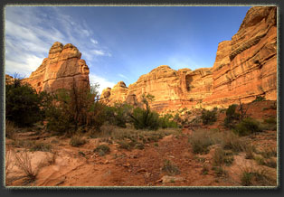
Near Lizard Rock; Chocolate Drops on horizon at left
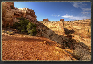
Hiking in the Maze, Canyonlands National Park, Utah
The Wall formation, center horizon

 Hiking in the Maze, Canyonlands National Park, Utah
Hiking in the Maze, Canyonlands National Park, Utah
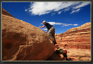
Climbing up towards Lizard Rock
 
Hiking in the Maze, Canyonlands National Park, Utah


BACK         NEXT


Page created 1-22-12
Comments