| Lily Mt Sunrise
Location: Rocky Mountain
National Park, Colorado
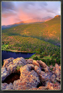
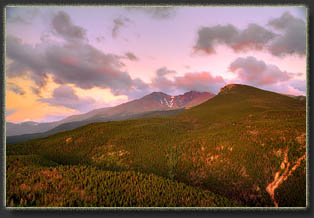
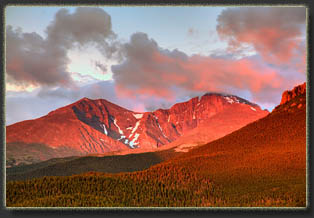
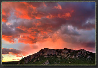
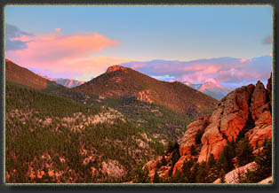
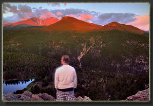
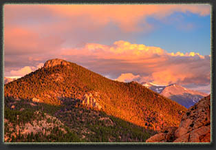
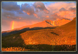
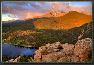
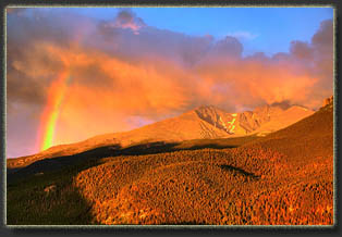
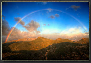
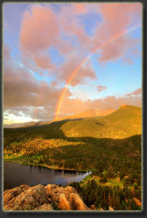
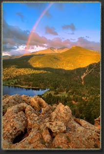
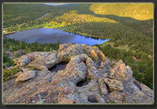
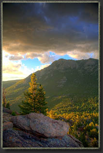
July 12, 2015 We left at 4:15. You donít want to be late for this sort of thing. In the dark, Jeff and I drove on quiet, deserted roads through Estes Park, then south on Hwy 7 to the Lily Lake TH. Iíd hiked this trail before, but in the dark nothing looks the same. The main loop sticks close to the shoreline of Lily Lake, and is wide and graded. On the east edge of the lake, a spur trail heads north into the rocky south face of Lily Mt and parallels the lakeís north shore before returning downhill and joining the main loop on the west end of the lake. This is the trail we intended to use to access the upper cliffs of Lily Mountainís south face. We left the main loop, crossed a little stream, and almost immediately lost the trail. In retrospect, we missed a sharp left turn in the dark, and continued north on what seemed for a long time to be the path. By the time we concluded the path was lost, we had no idea even where we had lost it. Knowing the general direction we wanted to go, we headed west up through thick pines, climbing over rocks and through foot-deep pine duff. In 10 minutes, we found the trail again, a long ways from where we left it, and followed it west. At a spot that looked convenient, we left this trail and hiked uphill to the north, following a steep gulch lined with pines and slabs of lichen-covered granite. Up, and up, we kept following the path of least resistance, gaining elevation. The sky grew lighter, and we could see the dim form of Longs Peak looming above the green forested horizon to the south. At a point somewhere around 9400 feet, we found that we could not go any higher without really leaving the realm of hiking and entering the sport of rock climbing, so we halted, and found a nice, suitable obstruction-free vantage rock from which to enjoy the coming show. The cliff fell away vertically from our spot, but there was enough flattish room to sit on to feel comfortable with the height. Unfortunately, a cloud bank moved in from the south on a brisk south breeze, and completely obscured Longs Peak in wet-looking vapor around 6:30. Clouds to the east likewise dimmed the sunrise considerably, and though the dramatic rouge on the clouds was interesting, it wasnít the crystal-clean sunrise I was hoping for. Nevertheless, we sat and waited. Clouds move so fast in the mountains, itís seldom that the lighting stays the same for long, and just as hoped, the sun shortly peeked above the cloud bank to the east and cast a pale orange glow on Longs Peak and Mt Meeker just as they broke free of the clouds around 6:45. A nice alpenglow blazed on the mountain rocks for 10 minutes, during which time I snapped my camera furiously and Jeff and I marveled at the range of colors in the panorama before us. The same clouds that had obscured the scene moments earlier suddenly caught the light, and provided more canvas for the deep pink color that shaded everything like tinted glass. I was so busy looking through my polarized lens snapping photographs that I didnít notice the enormous rainbow over the mountain until I stepped back from the camera and looked around. As if the dawn light on Longs Peak were not dramatic enough! For 10 minutes a massive arc of split sunlight stood stationary over Longs Peak, and I couldnít have been in a better spot to enjoy the scene. We watched intently as the shifting light emphasized first the east, and then the west half the rainbow before it faded entirely. By 7:10 the show was over. The morning light had lost its red glow, and was now the pure white of morning sun through clean air. We picked our way downhill through the rocks, a task much easier in the daytime, though the slope was still shrouded in shadow. Reaching the northern spur trail, we walked west until it intersected the main graded path around Lily Lake, then we followed the path back east to the car, reaching it around 7:45. We were back at the cabin by 8:00, where we enjoyed a nice breakfast with family members just rolling out of bed. |
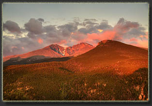
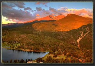
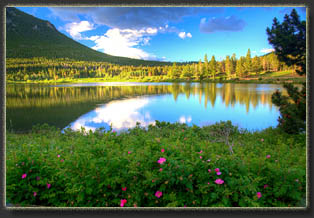
Lily Lake below Estes Cone and Mt Meeker/Longs Peak |
