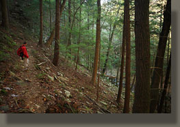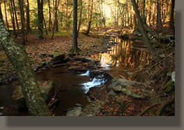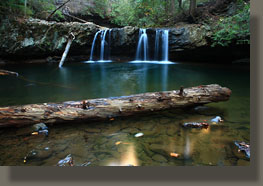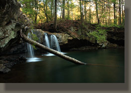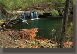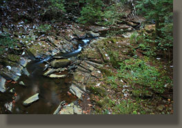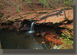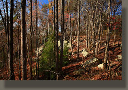
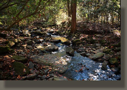
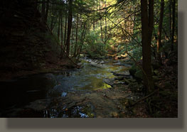
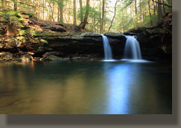
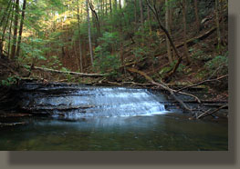
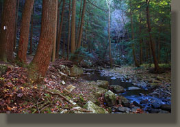
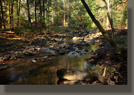
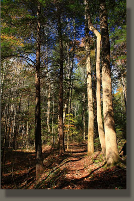
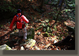
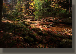
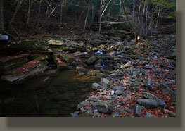
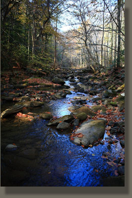
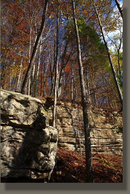
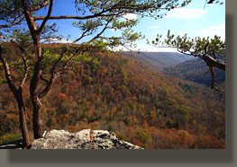
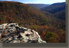
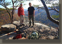
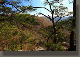
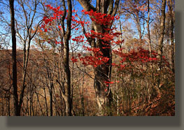
November 6, 2010 It is November and the days are short, the shadows long. The air is cool and crisp, and thus perfectly suited for a brisk hike. On this particular weekend, Mike Weigand has flown in from Vermont, and we elect to check out the hiking trails in the Grundy Forest State Natural Area, a small pocket of hardwood forest that lines Big Fiery Gizzard Creek for a short distance. The drive to Grundy Forest from Rock Island via Hwy 56 through Altamont is very pleasant, as it passes through fields of nursery stock, rolling meadows and then into heavy forest on the Cumberland Plateau. We pass through Bersheeba Springs, where a light dusting of snow graces the brown oak leaves still clinging to the trees, then through the tiny towns of Altamont, Coalmont and finally Tracy City, before coming upon the parking area behind the softball field of the local elementary school. Shouldering packs, we begin the hike at 10:00. The crisp, cool air that blew in the day before and sent the temperature down into the low twenties has blown the air clear of particulates and most of the humidity, leaving nothing but a clear, glassy blue sky overhead. We start the Grundy Day loop heading clockwise, principally because thatís the trailhead we hit upon first, and immediately drop down a series of steps to Cave Springs, a rugged bluff of limestone undercut by a spring. The trail map claims the massive hemlock along the trail here is over 500 years old. Pondering the massive, furrowed trunk, I donít question the claim. The trail drops down to Little Fiery Gizzard Creek which is shaded completely by century-old hickories and oaks. How do I know how old they are? I'll tell you: I've hugged many a fallen tree on the Cumberland Plateau to feel the girth, then counted the annual rings, and I can typically completely reach around an 85-year old tree. Beyond that age, the circumference is too large to manage a complete hug, so that's my field method of measuring a tree's age in-situ. I should probably publish a paper on this method, but who has time for that? We head downstream past a fantastic waterfall which I naturally convince Mike to stop and admire while I photograph it. No waterfall of such sinuous grace can go unphotographed on such a day, when the autumn leaves line the dark creekbed, and the white of the plunging water almost seems to glow blue. Moving on, snacking on leftover Halloween candy corn, we reach the bridge that crosses the creek just below the junction of Little and Big Fiery Gizzard Creeks, and begins the Fiery Gizzard Trail. We cross the large bridge and continue south on the Fiery Gizzard Trail. The route is well-trodden and marked with white blazes as it passes through more thick hardwood forest, with tuliptrees rising up like telephone poles, massive sky-darkening hemlocks and red-berried dogwoods, among countless others. Crunching through the leaves on the trail, we take a quick side trip to Sycamore Falls, which is bathed in white sunlight. Water rushes over the ledge and drops about 12 feet to a deep clear pool below. Looks like a great place to go swimming, but not today. Back at the main trail, we continue downstream through a deep canyon that gradually widens. The water in the creek disappears completely, sinking under the dry creekbed and flowing on underground at some unknown depth, only to reappear further on. The white blazes that mark the trail are well-received, as the trail itself is unrecognizable in many places. In such areas, the white blazes mark nothing more than an arbitrary route through the boulders that line the rushing water of the creek. Conversation continues on subject after subject as we walk along, passing through scene after scene of timeless, stoic forest. Midday comes and goes. The sun has a slant to it that sends a weak, orange light across the deep blue sky, bathing everything it touches in a pallette of harvest colors devoid of blue. Black, high-contrast shadows angle sharply across the trail like iron beams. We reach the end of the gorge-bottom hike. Abruptly, the trail rises up out of the gorge, climbing switchbacks back and forth steeply up the leaf-strewn west face of the canyon to the plateau above. We come upon two backpackers taking a break, and taking advice from a third hiker who apparently is camping nearby with his giant white dog. We pass on by, reaching the Ravens Point trail junction a minute later. The day is waning, but it seems criminal to pass up what appears to be a very nice isthmus lookout over the gorge below, especially as it only 2000 feet away. Relative to the uphill slog to get to the plateau, the trail along the ridge to Ravens Point is a country stroll. While not completely open, there are only a few trees to compromise the panoramic view out over Fiery Gizzard Gorge, and to the opposing plateau beyond. Nice spot. We snap some photographs, enjoy the overhead vantage point, then move on. Retracing our steps, we reach the main trail, and shortly beyond that, we reach the Ravens Point campsite, which seems to be a nice spot deep in the woods, though if backpacking here Iíd prefer to have the prerogative to camp where it suited me. On relatively flat ground, we swiftly cruise along the rim of the gorge through a healthy forest cover back north towards the trailhead. We stop and cut off the trail a few times to check out open views down into the gorge through a trillion cubic feet and more of invisible air, but after a bit we begin to pass them by. Itís not that what one sees is any less interesting, but somehow even the most appreciative eyes grow accustomed to the same scene after a certain number of repetitions. Nearing the trailhead, the trail drops us back down into the gorge, passing right by an abandoned coal mine. We again take a side trip to Sycamore Falls, and, finding it in complete shade, I spend several minutes photographing it. Never know when you might get back to a place. You might never. Better to snap a photograph now, just in case. Back to the bridge, the creek, and we find ourselves tempted to take the longer route back by completing the Grundy Day Loop. So it is. We pass over a bridge inscribed with a stanza from Frost: ďTwo roads diverged in a wood, and I, I took the one less traveled by, And that has made all the difference.Ē Yes Robert, but the difference in what? As we all have just one life, how can you know if made any difference? Nevertheless, I agree; it surely makes some difference. We pass by two additional fabulous falls, both quiet and small, seemingly unnamed, hidden amongst the maples and blackgums until one is almost on top of them. The sun droops further towards the horizon, and 4:30 tolls. Deep orange evening light slants through the naked trees as we take the last steps through the woods and emerge back at the picnic area, completing a fantastic hike that I believe Iíll have to come back and enjoy again. |
|
